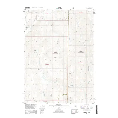
2015 Map of Elk Valley
USGS Topo · Published 2015About this map
Elk Valley occupies a high-elevation mountain landscape along the border of Idaho and Wyoming, where the Gannett Hills rise sharply between the Caribou National Forest and Bridger National Forest. The map documents a complex drainage network defining this western terrain, including the headwaters of Sage Creek, Rock Creek, and Spring Creek (West Side). Notable landmarks like The Pinnacle and Clover Knoll serve as critical navigation points within the sprawling forest system.
Find a feature on this map
39 named features on this map. Tap any name to fly to it.
Don’t see what you’re looking for? This feature index may not catch every label — zoom into the map to look around manually.
Map Details
Editions of this 2015 Elk Valley Map
This is the sole edition of this map. No revisions or reprints were ever made.
Other maps of this area
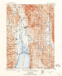
1909 · Montpelier
USGS Topo · 1:125,000
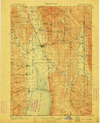
1911 · Montpelier
USGS Topo · 1:125,000
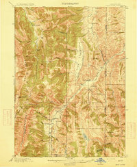
1915 · Crow Creek
USGS Topo · 1:62,500
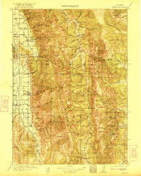
1921 · Afton
USGS Topo · 1:125,000
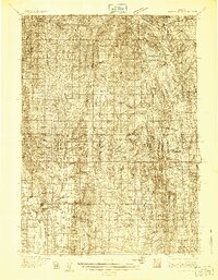
1936 · Cokeville
USGS Topo · 1:96,000
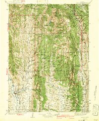
1942 · Cokeville
USGS Topo · 1:125,000
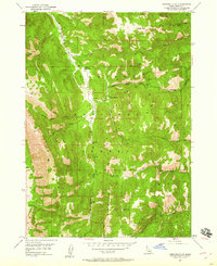
1949 · Stewart Flat
USGS Topo · 1:24,000
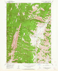
1949 · Snowdrift Mountain
USGS Topo · 1:24,000
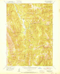
1951 · Stewart Flat
USGS Topo · 1:24,000
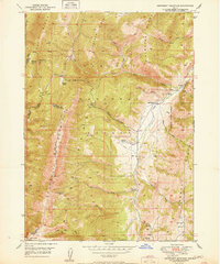
1951 · Snowdrift Mountain
USGS Topo · 1:24,000