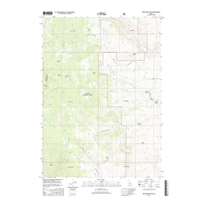
2017 Map of Bear Camp Gulch
USGS Topo · Published 2017About this map
The Portneuf Range defines the high-altitude landscape of this Idaho interior, where the Caribou National Forest covers much of the terrain. This drainage basin is characterized by a complex network of seasonal and perennial waters, including the Portneuf River and several namesake canyons such as Bear Camp Gulch and Hornet Canyon. The map reveals a land managed for its natural resources and watershed value, indicated by numerous watering points like King Creek Spring, Big Spring, and the high-elevation Horse Lakes.
Find a feature on this map
43 named features on this map. Tap any name to fly to it.
Don’t see what you’re looking for? This feature index may not catch every label — zoom into the map to look around manually.
Map Details
Editions of this 2017 Bear Camp Gulch Map
This is the sole edition of this map. No revisions or reprints were ever made.
Other maps of this area

1917 · Portneuf
USGS Topo · 1:62,500

1948 · Bancroft
USGS Topo · 1:62,500

1949 · Bancroft
USGS Topo · 1:62,500

1954 · Pocatello
USGS Topo · 1:250,000

1955 · Preston
USGS Topo · 1:250,000

1958 · Pocatello
USGS Topo · 1:250,000

1958 · Preston
USGS Topo · 1:250,000

1962 · Preston
USGS Topo · 1:250,000

1968 · Bear Camp Gulch
USGS Topo · 1:24,000
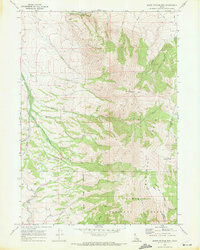
1968 · South Putnam Mtn
USGS Topo · 1:24,000