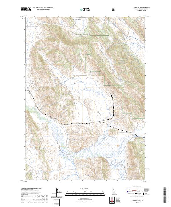
2023 Map of Lower Valley
USGS Topo · Published 2023About this map
The Blackfoot River winds through a high-altitude landscape of alternating valleys and ridges within the Caribou National Forest. This region is defined by its distinct north-south geography, where the Wooley Range and Schmid Ridge separate parallel corridors like Lower Valley, Wooley Valley, and Enoch Valley. The drainage pattern is complex, with Angus Creek and Slug Creek feeding into the main river system across various township boundaries.
Find a feature on this map
28 named features on this map. Tap any name to fly to it.
Don’t see what you’re looking for? This feature index may not catch every label — zoom into the map to look around manually.
Map Details
Editions of this 2023 Lower Valley Map
This is the sole edition of this map. No revisions or reprints were ever made.
Other maps of this area

1911 · Slug Creek
USGS Topo · 1:62,500

1914 · Henry
USGS Topo · 1:48,000

1915 · Lanes Creek
USGS Topo · 1:62,500

1916 · Henry
USGS Topo · 1:62,500

1948 · Soda Springs
USGS Topo · 1:62,500

1949 · Soda Springs
USGS Topo · 1:62,500

1949 · Johnson Creek
USGS Topo · 1:24,000

1949 · Dry Valley
USGS Topo · 1:24,000

1949 · Lower Valley
USGS Topo · 1:24,000

1951 · Lower Valley
USGS Topo · 1:24,000