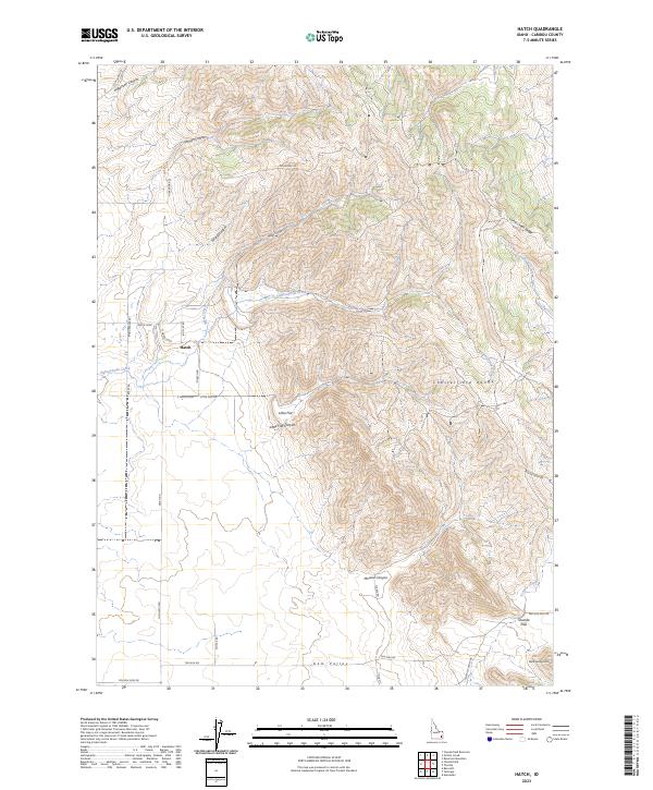
2023 Map of Hatch
USGS Topo · Published 2023About this map
Gem Valley and the Chesterfield Range define the contrasting topography of this Caribou County landscape. The settlement of Hatch sits at the western base of the range, where the valley floor meets the higher elevation of the Soda Springs Hills and Tenmile Pass. The drainage network is particularly detailed, showing the seasonal and permanent flows of Eighteenmile Creek and Tenmile Creek as they descend from the ridges.
Find a feature on this map
40 named features on this map. Tap any name to fly to it.
Don’t see what you’re looking for? This feature index may not catch every label — zoom into the map to look around manually.
Map Details
Editions of this 2023 Hatch Map
This is the sole edition of this map. No revisions or reprints were ever made.
Other maps of this area

1914 · Henry
USGS Topo · 1:48,000

1916 · Henry
USGS Topo · 1:62,500

1917 · Portneuf
USGS Topo · 1:62,500

1948 · Bancroft
USGS Topo · 1:62,500

1948 · Soda Springs
USGS Topo · 1:62,500

1949 · Bancroft
USGS Topo · 1:62,500

1949 · Soda Springs
USGS Topo · 1:62,500

1955 · Preston
USGS Topo · 1:250,000

1958 · Preston
USGS Topo · 1:250,000

1962 · Preston
USGS Topo · 1:250,000