Old Maps of Spencer, Idaho for Academic Research
Study the evolution of Spencer with 15 high-resolution historic maps. Whether you're teaching, researching, or modeling changes in land use, these maps provide essential visual documentation of urban, environmental, and geographic change.
- Analyze long-term change: Track patterns in development, transportation, and natural features.
- Ideal for environmental or urban studies: Support academic projects with primary historical map data.
- Use in the classroom or lab: Educators and researchers rely on these maps to bring historical context to life.
These maps are a powerful tool for teaching, research, and visualizing how Spencer has changed over the decades.
Spencer, ID maps
(15)- 1955 Map of Dubois
 1955 Dubois1955 Print · USGSThe high desert and mountain passes of eastern Idaho and western Montana are captured here during the mid-fifties. Researchers can trace the Union Pacific rail line through Dubois or locate the National Reactor Testing Station.4 unique versions available
 - 1958 Map of Dubois
 1958 Dubois1958 Print · USGSThe high divide between Idaho and Montana comes alive in this mid-century survey, from the mining camps of the Lemhi Range to the ranchlands of Centennial Valley. Trace historic operations at the Copper Queen Mine, the route of the Union Pacific RR, and the scientific work at the Sheep experimental station.2 unique versions available
 - 1972 Map of Spencer South, 1976 Print
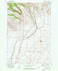 1972 Spencer South1976 Print · USGSThe high desert and forest of eastern Idaho are captured in the early seventies, centered on the settlement of Spencer. Trace the Union Pacific corridor as it passes China Point and the extensive U S Experiment Station.
 - 1972 Map of Spencer North, 1976 Print
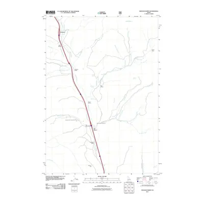
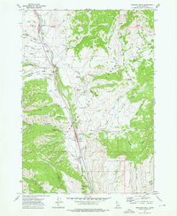 1972 Spencer North1976 Print · USGSThe rail and ranching country of eastern Idaho is captured here in the early 1970s as it transitions toward modern land management. Researchers can locate the Fort Harkness (Site), trace the Union Pacific line through Humphrey, and find the Beaver Creek Cemetery.
 - 1983 Map of Dubois
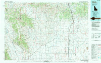 1983 Dubois1983 Print · USGSEastern Idaho's high-country ranching and research landscape is captured here in the early 1980s. Local researchers can trace the Union Pacific line through Dubois, locate the sprawling U S Sheep Experiment Station, or find the former location of Winsper (Site).
 - 2011 Map of Spencer South, 2011 Print
 2011 Spencer South2011 Print · USGSCovers Spencer, including Clark County, United States, and other nearby areas
 - 2011 Map of Spencer North, 2011 Print
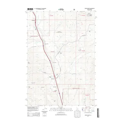
 2011 Spencer North2011 Print · USGSCovers Spencer, including Clark County, United States, and other nearby areas
 - 2013 Map of Spencer North, 2013 Print
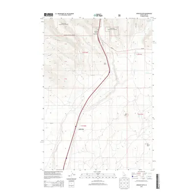
 2013 Spencer North2013 Print · USGSCovers Spencer, including Clark County, United States, and other nearby areas
 - 2013 Map of Spencer South, 2013 Print
 2013 Spencer South2013 Print · USGSCovers Spencer, including Clark County, United States, and other nearby areas
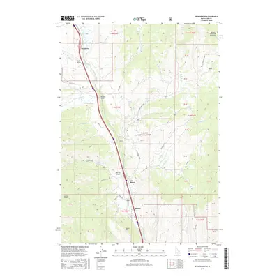
 - 2017 Map of Spencer South, 2017 Print
 2017 Spencer South2017 Print · USGSCovers Spencer, including Clark County, United States, and other nearby areas
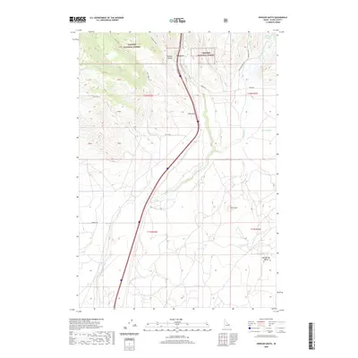
 - 2017 Map of Spencer North, 2017 Print
 2017 Spencer North2017 Print · USGSCovers Spencer, including Clark County, United States, and other nearby areas
 - 2020 Map of Spencer South, 2020 Print
 2020 Spencer South2020 Print · USGSCovers Spencer, including Clark County, United States, and other nearby areas
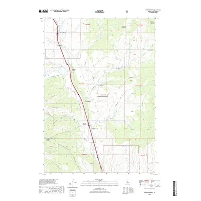
 - 2020 Map of Spencer North, 2020 Print
 2020 Spencer North2020 Print · USGSCovers Spencer, including Clark County, United States, and other nearby areas
 - 2023 Map of Spencer North, 2023 Print
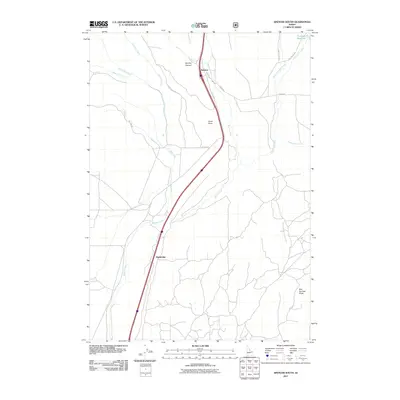
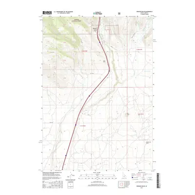
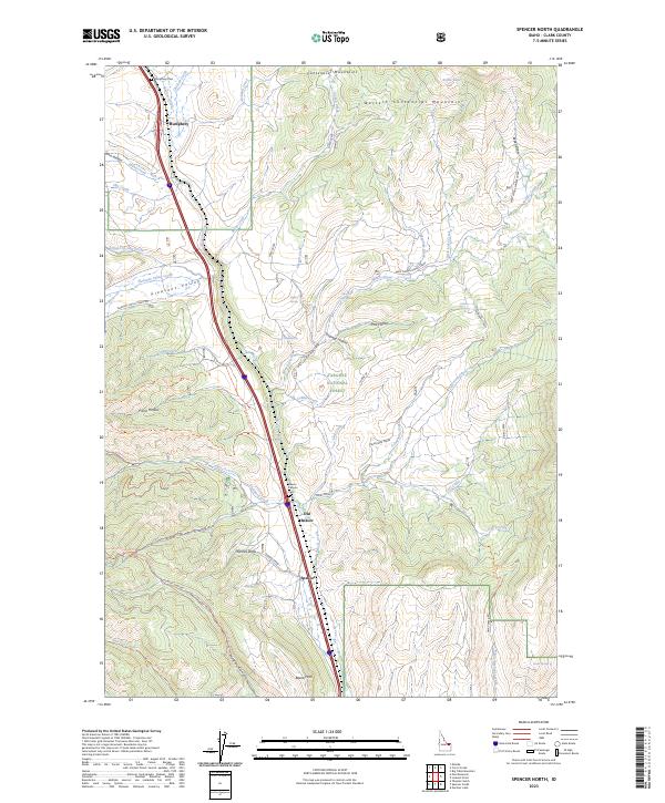 2023 Spencer North2023 Print · USGSUpper Clark County's high mountain corridors are captured here just north of the Snake River Plain. Researchers can trace early routes and local burial grounds at Humphrey Cem, Old Beaver, and the town of Spencer along the Beaver Creek drainage.
 - 2023 Map of Spencer South, 2023 Print
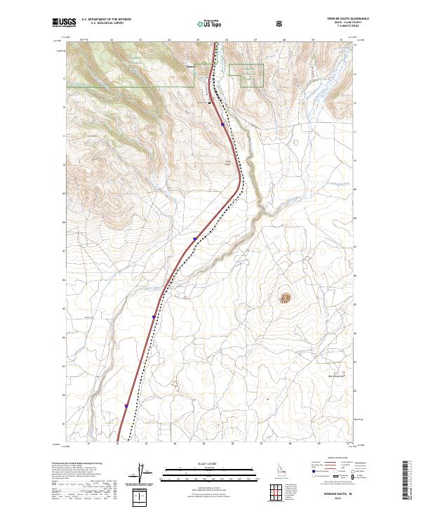 2023 Spencer South2023 Print · USGSHigh-desert ranching and transit corridors define this Clark County landscape in the 2020s. Trace the historical alignment of Old Hwy 91 near the Spencer Cem, or explore volcanic landmarks like The Crater and Bed Springs Butte.
End of results
Showing maps 1-15 of 15
Top cities near Spencer
Frequently asked questions
- What are the different types of historical maps available for Spencer?
- What is the oldest map of Spencer?
- Where can I purchase historical maps of Spencer for my home or office?
- Where can I download high-res historical maps of Spencer?
- Are there historical topographic maps available for Spencer?
- Is there historical aerial imagery available for Spencer?
- Where are historical maps of Spencer sourced from?