Old Maps of Pierce, Idaho
Explore 24 old maps of Pierce, spanning from 1923 to today. These high-resolution historic maps reveal how streets, neighborhoods, landmarks, and natural features evolved over time — perfect for genealogy, metal detecting, research, and local history exploration.
What you can do with these maps:
- See how Pierce changed over time: Compare historical maps to modern-day views to trace roads, homesites, rail lines & more.
- View detailed metadata: Each map includes creators, publishers, year, scale, and archive source.
- Overlay maps with satellite & LiDAR: Visualize the past alongside modern tools to explore terrain & human change.
- Trusted historical sources: Maps sourced from the USGS, Library of Congress, and other archives.
- Access maps your way: View online, download high-res files, or order prints for personal or research use.
Start exploring old maps of Pierce to uncover forgotten places, hidden landmarks, and the deep history beneath your feet.
Pierce, ID maps
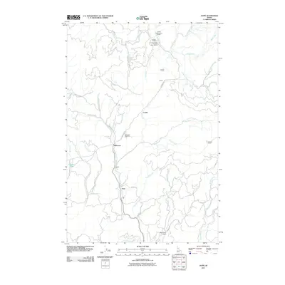
(24)- 1923 Map of Washington Creek
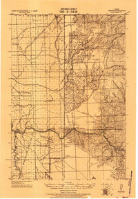
 1923 Washington Creek1923 Print · USGSThe Clearwater and Shoshone county line area in the early 1920s shows a frontier landscape of remote homesteads and forest reserves. Genealogists can locate named residents such as Fred Forsman and James Conner or the early buildings at Headquarters.
 - 1924 Map of Weippe
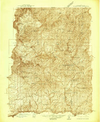
 1924 Weippe1924 Print · USGSNorth-central Idaho in the early 1920s is captured here, from the prairie settlements to the deep river canyons of the Clearwater. Genealogists can trace early homesteaders like G.W. Ford or locate long-gone post offices at Tahoe and Lowell.
 - 1938 Map of Headquarters
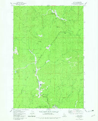
 1938 Headquarters1938 Print · USGSClearwater County's timber and mining country is captured here in the late 1930s as logging infrastructure expanded deep into the national forest. Researchers can locate remote family landmarks like Nelson Cabin, the historic Democrat Mine, and rural schools like Springview Sch.2 unique versions available
 - 1944 Map of Headquarters
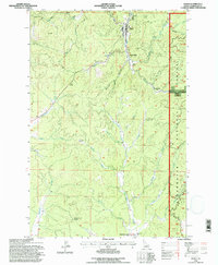
 1944 Headquarters1944 Print · USGSClearwater County timber operations and forest management are in full swing here during the mid-1940s. Researchers can locate remote outposts like Casey Cabin, trace the rail spurs at Cardiff Spur, and find early mining sites at the Democrat Mines.2 unique versions available
 - 1956 Map of Hamilton, 1970 Print
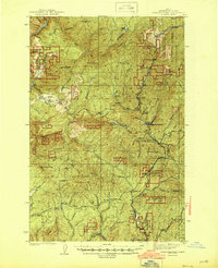
 1956 Hamilton1970 Print · USGSThe Bitterroot Valley and surrounding high country are captured here during the mid-fifties, showing the region's transition into a modern forest-and-rail hub. Genealogists and historians can trace family-named sites and early infrastructure from Fort Missoula to towns like Stevensville and Darby along the Northern Pacific line.2 unique versions available
 - 1959 Map of Hamilton
 1959 Hamilton1959 Print · USGSThe Bitterroot Valley and surrounding wilderness are captured in the late fifties, showing a landscape defined by forestry and river-based settlement. Researchers can trace the Lolo Trail or locate historical points like Fort Missoula and the Fred Burr Reservoir.
 - 1960 Map of Hamilton
 1960 Hamilton1960 Print · USGSThe Bitterroot Valley and surrounding high country are captured here during the late fifties, showing the region's transition into a modern forest and rail corridor. Researchers can trace the path of the Northern Pacific through Missoula or locate landmarks like Fort Missoula and Lake Como.
 - 1964 Map of Hamilton
 1964 Hamilton1964 Print · USGSThe Bitterroot Valley and its surrounding peaks are captured in detail during the mid-1960s, showing the early infrastructure of the Northern Rockies. Genealogists and historians can trace family roots in Hamilton and Stevensville or follow the historic Lolo Trail and Nez Perce Trail.
 - 1966 Map of Pierce, 1968 Print
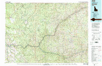
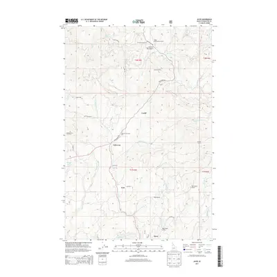
 1966 Pierce1968 Print · USGSPierce and the surrounding Clearwater County timberlands are captured here in the mid-1960s, showing the intersection of forest industry and local history. Researchers can locate the Hanging Trees Historical Marker, industrial sites like Cardiff Mill, and the small settlement at Judge Town.2 unique versions available
 - 1981 Map of Kooskia
 1981 Kooskia1981 Print · USGSNorthern Idaho in the early eighties shows a landscape of deep river canyons and high forest ridges. Researchers can locate remote mining sites like Hemlock Mine, the mountain settlement of Lowell, and the Kooskia National Fish Hatchery.
 - 1981 Map of Jaype, 1982 Print
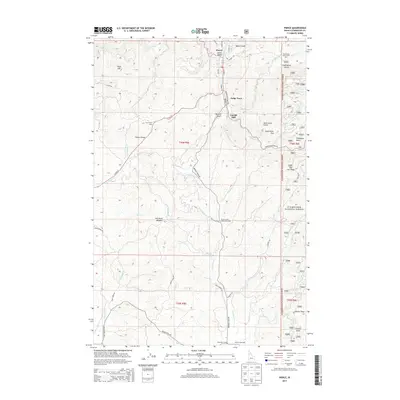
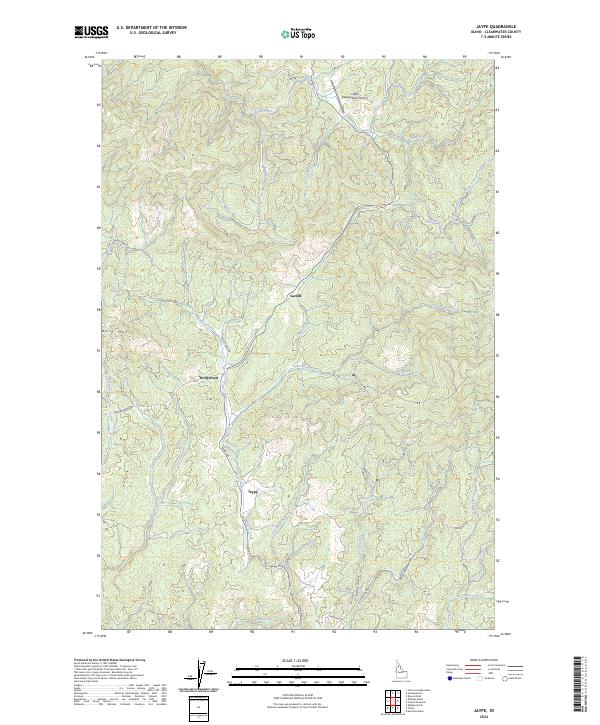
 1981 Jaype1982 Print · USGSClearwater County's timber and transit corridor is captured here in the early 1980s, centered on the mill town of Jaype. Genealogists and historians can locate vanished points like Townsite Four, Hollywood, and the railway siding at Cardiff Spur.2 unique versions available
 - 1982 Map of Headquarters, 1983 Print
 1982 Headquarters1983 Print · USGSClearwater County's timber and mining country is captured here in the early 1980s, centered on the company town of Headquarters and the historic gold-rush area of Pierce. Genealogists and researchers can trace remote settlements and work sites like Hollywood, New Boehls, and the Oxford Mine.
 - 1994 Map of Jaype, 1997 Print
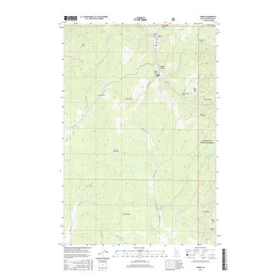
 1994 Jaype1997 Print · USGSClearwater County timber country is shown in detail during the mid-1990s, when logging and transport shaped the landscape. Genealogists and local historians can locate small settlements and industrial sites like Townsite Four, Hollywood, and the Wood Products Plant at Jaype.
 - 1994 Map of Pierce, 1997 Print
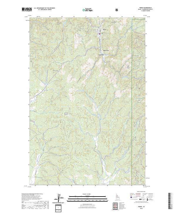
 1994 Pierce1997 Print · USGSThe Clearwater National Forest at the height of modern timber management reveals a landscape of deep history and industry. Trace early Idaho settlement patterns at Judge Town, the Cardiff Mill Site, and the Chinese Hanging Tree.
 - 2011 Map of Pierce, 2011 Print
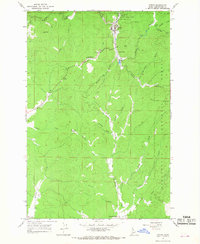
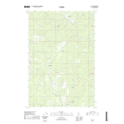
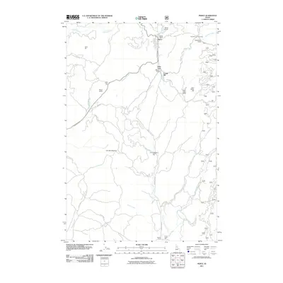 2011 Pierce2011 Print · USGSCovers Pierce, including Clearwater County, United States, and other nearby areas
 - 2011 Map of Jaype, 2011 Print
 2011 Jaype2011 Print · USGSCovers Pierce, including Clearwater County, United States, and other nearby areas
 - 2013 Map of Jaype, 2013 Print
 2013 Jaype2013 Print · USGSCovers Pierce, including Clearwater County, United States, and other nearby areas
 - 2013 Map of Pierce, 2013 Print
 2013 Pierce2013 Print · USGSCovers Pierce, including Clearwater County, United States, and other nearby areas
 - 2017 Map of Pierce, 2017 Print
 2017 Pierce2017 Print · USGSCovers Pierce, including Clearwater County, United States, and other nearby areas
 - 2017 Map of Jaype, 2017 Print
 2017 Jaype2017 Print · USGSCovers Pierce, including Clearwater County, United States, and other nearby areas
 - 2020 Map of Pierce, 2020 Print
 2020 Pierce2020 Print · USGSCovers Pierce, including Clearwater County, United States, and other nearby areas
 - 2020 Map of Jaype, 2020 Print
 2020 Jaype2020 Print · USGSCovers Pierce, including Clearwater County, United States, and other nearby areas
 - 2024 Map of Jaype, 2024 Print
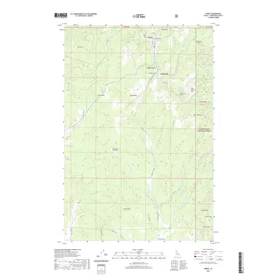
 2024 Jaype2024 Print · USGSSettlement and logging history intersect in Clearwater County during the early 2020s, showing the modern footprint of rural Idaho life. Researchers can trace local routes through Jaype, Cardiff, and Hollywood, or locate aviation sites like Cptpa-Headquarters Airport.
 - 2024 Map of Pierce, 2024 Print
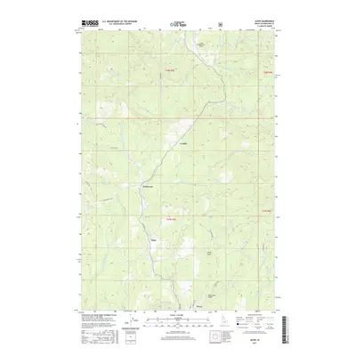
 2024 Pierce2024 Print · USGSPierce and the surrounding Clearwater County timberlands are detailed in this contemporary study of the Idaho gold rush country. Genealogists and local historians can trace the foundations of Pierce, locate the Pierce Cem, and explore the industrial roots of Cardiff Mill and Judge Town.
End of results
Showing maps 1-24 of 24
Top cities near Pierce
Frequently asked questions
- What are the different types of historical maps available for Pierce?
- What is the oldest map of Pierce?
- Where can I purchase historical maps of Pierce for my home or office?
- Where can I download high-res historical maps of Pierce?
- Are there historical topographic maps available for Pierce?
- Is there historical aerial imagery available for Pierce?
- Where are historical maps of Pierce sourced from?