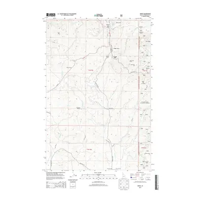
2013 Map of Pierce
USGS Topo · Published 2013About this map
Pierce and the adjacent settlement of Judge Town serve as the primary human centers in this high-altitude landscape dominated by the timber and recreation history of the Clearwater National Forest. The map documents a landscape transitioning from traditional industry to modern outdoor usage, where legacy sites like Cardiff Mill and Brown Creek Mill are situated alongside the Brown Creek Moto Cross Area and the Clearwater Gulch Picnic Area. Numerous family-named topographic features such as Gold Hill, Lew Hand Meadow, and Gold Dollar Flat suggest a history of prospecting and early homesteading. The rugged terrain is carved by an extensive network of waterways, including Orofino Creek and Jim Brown Creek, while old transit patterns are visible through the Old Logging Road and the winding course of French Mountain Road as it skirts the Pierce Divide.
Find a feature on this map
94 named features on this map. Tap any name to fly to it.
Don’t see what you’re looking for? This feature index may not catch every label — zoom into the map to look around manually.
Map Details
Editions of this 2013 Pierce Map
This is the sole edition of this map. No revisions or reprints were ever made.
Other maps of this area
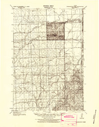
1923 · Washington Creek
USGS Topo · 1:125,000
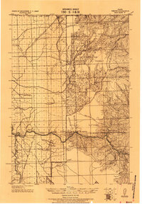
1924 · Weippe
USGS Topo · 1:125,000
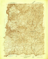
1938 · Headquarters
USGS Topo · 1:48,000
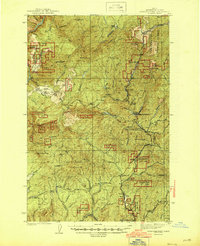
1944 · Headquarters
USGS Topo · 1:62,500
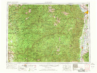
1956 · Hamilton
USGS Topo · 1:250,000
1959 · Hamilton
USGS Topo · 1:250,000
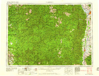
1960 · Hamilton
USGS Topo · 1:250,000
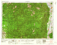
1964 · Hamilton
USGS Topo · 1:250,000
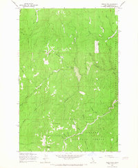
1965 · French Mountain
USGS Topo · 1:24,000
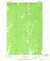
1966 · Pierce
USGS Topo · 1:24,000