Old Maps of Clayton, Idaho for Academic Research
Study the evolution of Clayton with 14 high-resolution historic maps. Whether you're teaching, researching, or modeling changes in land use, these maps provide essential visual documentation of urban, environmental, and geographic change.
- Analyze long-term change: Track patterns in development, transportation, and natural features.
- Ideal for environmental or urban studies: Support academic projects with primary historical map data.
- Use in the classroom or lab: Educators and researchers rely on these maps to bring historical context to life.
These maps are a powerful tool for teaching, research, and visualizing how Clayton has changed over the decades.
Clayton, ID maps
(14)- 1929 Map of Bayhorse, 1961 Print
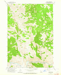
 1929 Bayhorse1961 Print · USGSCentral Idaho mining and ranching life are detailed in the late 1920s as mountain settlements like Bayhorse and Clayton thrived. Researchers can trace historic extraction sites like the Hecla Mine and Redbird Mine or locate the old East Fork Sch.
 - 1957 Map of Challis, 1964 Print
 1957 Challis1964 Print · USGSCentral Idaho in the late fifties and early sixties remains a territory of remote mining camps and high-mountain ranger stations. Trace historic mining operations like the Lucky Boy Mine or locate isolated homesteads including Robinson Bar Ranch and Allison Ranch.3 unique versions available
 - 1960 Map of Challis
 1960 Challis1960 Print · USGSCentral Idaho’s high backcountry is detailed here in the early sixties, showing the remote ranching and mining life across five national forests. Genealogists and researchers can trace family holdings at the Silva Ranch or Jones Ranch and find historic sites like Redfish Lake Lodge and Clayton.
 - 1963 Map of Challis
 1963 Challis1963 Print · USGSCentral Idaho's mountain corridors and mining districts appear in detail during the early sixties, highlighting the remote settlements of Challis and Stanley. Researchers can trace the legacy of the gold and silver rushes through labels for Bonanza, the Bayhorse Mine, and the Falconberry ranch.
 - 1963 Map of Clayton, 1964 Print
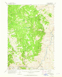
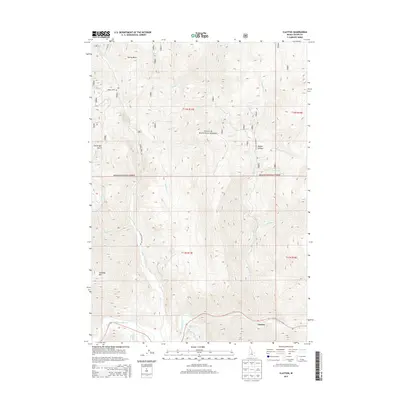
 1963 Clayton1964 Print · USGSClayton was a center of mountain industry in the 1960s, defined by its riverside location and mining operations. Trace the path of the Kinnikinic Aqueduct, find the local Cem, and locate historical workings at the Clayton Mine and Redbird Mine.2 unique versions available
 - 1963 Map of Clayton, 1965 Print
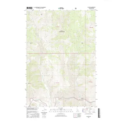
 1963 Clayton1965 Print · USGSCuster County's rugged mining interior is captured here in the early 1960s, centered on the riverfront settlement of Clayton. Genealogists and industrial historians can trace high-country operations like the Ramshorn Mine and Keystone Mine or locate the Tollgate Ruins.
 - 1982 Map of White Cloud Peaks
 1982 White Cloud Peaks1982 Print · USGSCuster County in the early eighties is a landscape where high-mountain recreation meets a legacy of hard-rock mining. Genealogists and researchers can trace the roads to Custer, locate isolated sites like the Livingston Mine, or find the waters of Redfish Lake.2 unique versions available
 - 1989 Map of Challis
 1989 Challis1989 Print · USGSCentral Idaho in the late eighties remains a vast expanse of protected wilderness and high-mountain drainages. Researchers can trace remote settlements and backcountry outposts like Custer, Stibnite, and Sunbeam along the Salmon River and its many forks.2 unique versions available
 - 2011 Map of Clayton, 2011 Print
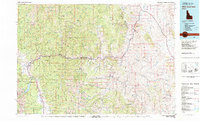
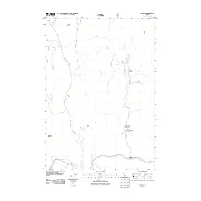 2011 Clayton2011 Print · USGSCovers Clayton, including Custer County, United States, and other nearby areas
 - 2013 Map of Clayton, 2013 Print
 2013 Clayton2013 Print · USGSCovers Clayton, including Custer County, United States, and other nearby areas
 - 2017 Map of Clayton, 2017 Print
 2017 Clayton2017 Print · USGSCovers Clayton, including Custer County, United States, and other nearby areas
 - 2020 Map of Clayton, 2020 Print
 2020 Clayton2020 Print · USGSCovers Clayton, including Custer County, United States, and other nearby areas
 - 2023 Map of Clayton, 2023 Print
 2023 Clayton2023 Print · USGSCovers Clayton, including Custer County, United States, and other nearby areas
 - 2024 Map of Clayton, 2024 Print
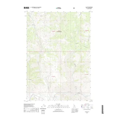
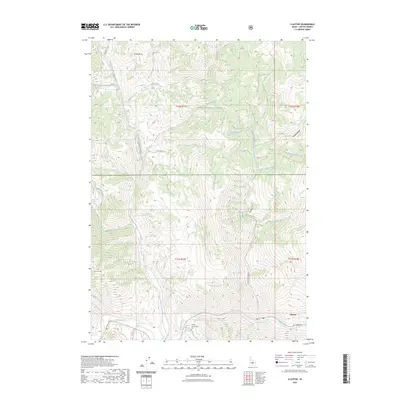
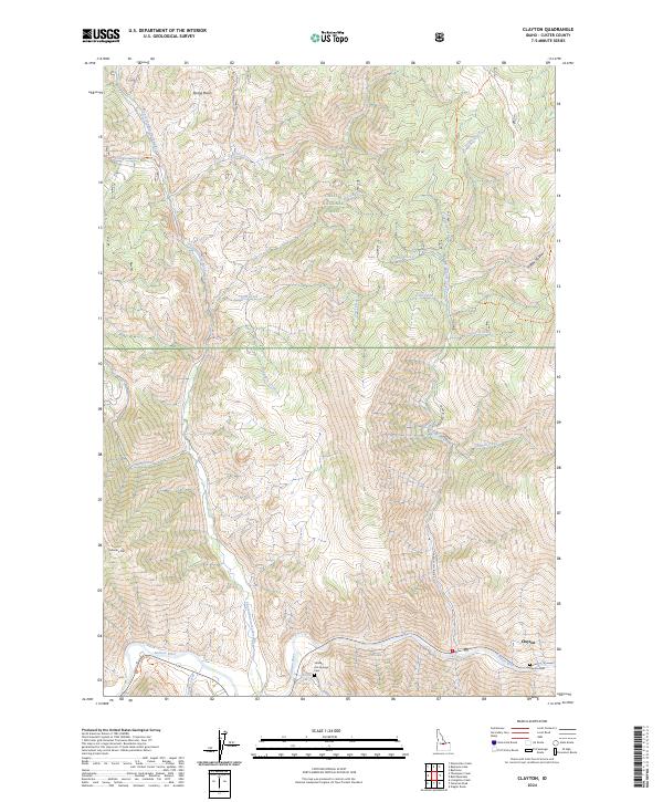 2024 Clayton2024 Print · USGSThe Salmon River canyon in the Idaho backcountry remains a focal point for settlement and mountain travel in this recent survey. Local historians and genealogists can pinpoint the Clayton Cem, find the Sullivan Hot Springs, and trace routes along Kinnikinic Creek Rd.
End of results
Showing maps 1-14 of 14
Top cities near Clayton
Frequently asked questions
- What are the different types of historical maps available for Clayton?
- What is the oldest map of Clayton?
- Where can I purchase historical maps of Clayton for my home or office?
- Where can I download high-res historical maps of Clayton?
- Are there historical topographic maps available for Clayton?
- Is there historical aerial imagery available for Clayton?
- Where are historical maps of Clayton sourced from?