Old Maps of Stanley, Idaho for Genealogy
Trace your family roots with 13 historic maps of Stanley. These high-res maps reveal old neighborhoods, homesites, landmarks, and streets — helping you uncover where your ancestors lived and how the area evolved over time.
- Explore historic neighborhoods: Identify where your relatives may have lived in the 1800s or 1900s.
- Compare maps over time: Trace the changes in streets, buildings, and landmarks for multi-generational research.
- Perfect for genealogy & ancestry research: Used by family historians and researchers to map out lineage and migration.
These maps are an incredible resource for exploring your personal connection to Stanley's past.
Stanley, ID maps
(13)- 1919 Map of Custer, 1964 Print
 1919 Custer1964 Print · USGSCuster County was a rugged hub of mining and forestry in the years following the Great War. Genealogists and historians can trace the early footprint of Custer, Bonanza, and the Sunbeam Mine, or locate the original Valley Creek Ranger Station.
 - 1922 Map of Custer
 1922 Custer1922 Print · USGSThe Salmon River high country comes alive in the years following the Great War, showing a landscape of isolated mining camps and early forest service outposts. Genealogists and researchers can trace the roads and trails connecting Custer, Bonanza, and the Sunbeam Mine.3 unique versions available
 - 1957 Map of Challis, 1964 Print
 1957 Challis1964 Print · USGSCentral Idaho in the late fifties and early sixties remains a territory of remote mining camps and high-mountain ranger stations. Trace historic mining operations like the Lucky Boy Mine or locate isolated homesteads including Robinson Bar Ranch and Allison Ranch.3 unique versions available
 - 1960 Map of Challis
 1960 Challis1960 Print · USGSCentral Idaho’s high backcountry is detailed here in the early sixties, showing the remote ranching and mining life across five national forests. Genealogists and researchers can trace family holdings at the Silva Ranch or Jones Ranch and find historic sites like Redfish Lake Lodge and Clayton.
 - 1963 Map of Challis
 1963 Challis1963 Print · USGSCentral Idaho's mountain corridors and mining districts appear in detail during the early sixties, highlighting the remote settlements of Challis and Stanley. Researchers can trace the legacy of the gold and silver rushes through labels for Bonanza, the Bayhorse Mine, and the Falconberry ranch.
 - 1963 Map of Stanley, 1964 Print
 1963 Stanley1964 Print · USGSStanley and the rugged Sawtooth Valley appear here in the early 1960s as a growing hub for Idaho recreation and forest management. Researchers can locate the Stanley Cem, trace old trails toward Marshall Lake, and find early campsites around Redfish Lake.3 unique versions available
 - 1982 Map of White Cloud Peaks
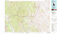 1982 White Cloud Peaks1982 Print · USGSCuster County in the early eighties is a landscape where high-mountain recreation meets a legacy of hard-rock mining. Genealogists and researchers can trace the roads to Custer, locate isolated sites like the Livingston Mine, or find the waters of Redfish Lake.2 unique versions available
 - 1989 Map of Challis
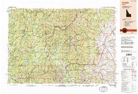 1989 Challis1989 Print · USGSCentral Idaho in the late eighties remains a vast expanse of protected wilderness and high-mountain drainages. Researchers can trace remote settlements and backcountry outposts like Custer, Stibnite, and Sunbeam along the Salmon River and its many forks.2 unique versions available
 - 2011 Map of Stanley, 2011 Print
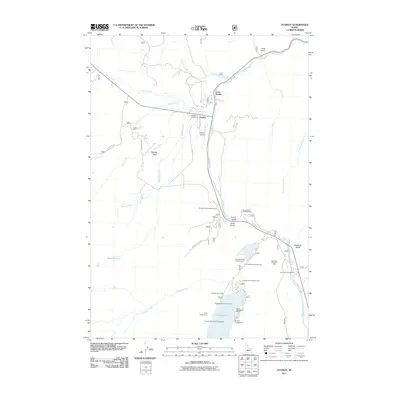 2011 Stanley2011 Print · USGSStanley and the upper Salmon River are captured in the early twenty-first century, showing the area's transition into a premier recreational destination. Researchers can locate Stanley Cemetery, the Sawtooth Fish Hatchery, and the historic Redfish Lake Lodge.
 - 2013 Map of Stanley, 2013 Print
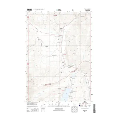 2013 Stanley2013 Print · USGSThe Sawtooth Mountains and Salmon River headwaters are captured here during the early twenty-first century. Researchers can trace local landmarks from Stanley Cem to the iconic Redfish Lake Lodge and the Sawtooth Fish Hatchery in Sawtooth Valley.
 - 2017 Map of Stanley, 2017 Print
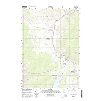 2017 Stanley2017 Print · USGSCuster County’s high mountain basins are captured here in the late 2010s, centered on the historic river junction at Stanley. Genealogists and historians can trace the local layout from Lower Stanley to the Stanley Cem, or locate the Sawtooth Fish Hatchery near Redfish Lake.
 - 2020 Map of Stanley, 2020 Print
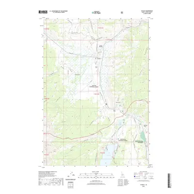 2020 Stanley2020 Print · USGSStanley and the surrounding basin are shown here during the early twenty-first century as the area transitioned into a modern mountain retreat. Researchers can trace the layout of Lower Stanley, locate the Stanley Cem, and follow the historic Decker Flat Sheep Drive Rd across the valley floor.
 - 2024 Map of Stanley, 2024 Print
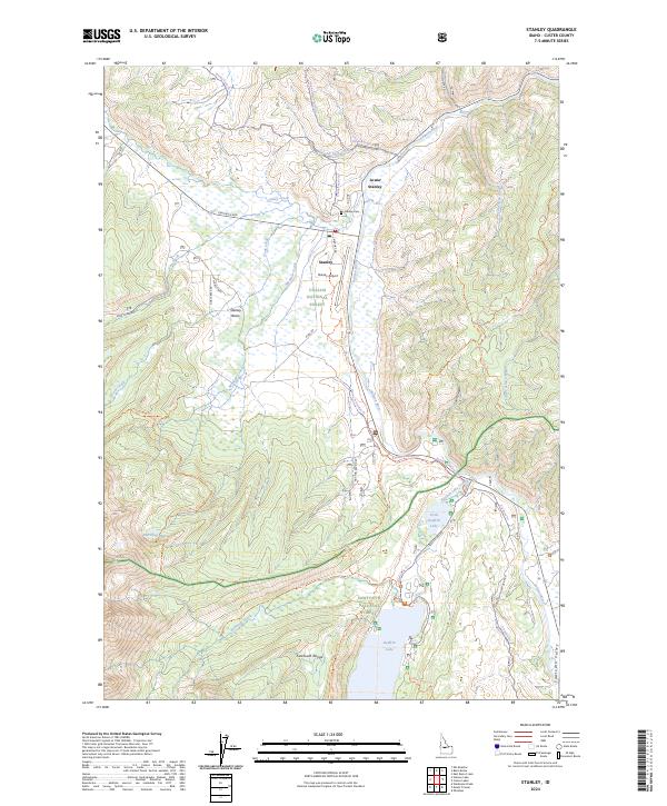 2024 Stanley2024 Print · USGSStanley and the Salmon River headwaters are captured here in the mid-2020s, showing the intersection of mountain wilderness and valley settlement. Researchers can trace local landmarks like the Stanley Cem and Sawtooth Fish Hatchery or follow the historic Decker Flat Sheep Drive Rd.
End of results
Showing maps 1-13 of 13
Frequently asked questions
- What are the different types of historical maps available for Stanley?
- What is the oldest map of Stanley?
- Where can I purchase historical maps of Stanley for my home or office?
- Where can I download high-res historical maps of Stanley?
- Are there historical topographic maps available for Stanley?
- Is there historical aerial imagery available for Stanley?
- Where are historical maps of Stanley sourced from?