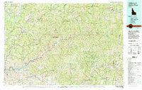
Old Maps of Featherville, Idaho for Academic Research
Study the evolution of Featherville with 11 high-resolution historic maps. Whether you're teaching, researching, or modeling changes in land use, these maps provide essential visual documentation of urban, environmental, and geographic change.
- Analyze long-term change: Track patterns in development, transportation, and natural features.
- Ideal for environmental or urban studies: Support academic projects with primary historical map data.
- Use in the classroom or lab: Educators and researchers rely on these maps to bring historical context to life.
These maps are a powerful tool for teaching, research, and visualizing how Featherville has changed over the decades.
Featherville, ID maps
(11)- 1894 Map of Rocky Bar
 1894 Rocky Bar1894 Print · USGSElmore County was a landscape of high-altitude mining camps and river forks in the 1890s. Genealogists and researchers can trace the early layout of remote mountain outposts like Atlanta and Rocky Bar or the banks of the South Fork Boise River.5 unique versions available
 - 1955 Map of Hailey, 1968 Print
 1955 Hailey1968 Print · USGSCentral Idaho in the mid-fifties reveals a landscape transitioning from deep-rooted silver mining to a burgeoning outdoor economy. Researchers can trace the legacy of the Union Pacific line, the remote Triumph Mine, and original airfield layouts at Mountain Home Air Force Base.4 unique versions available
 - 1959 Map of Hailey
 1959 Hailey1959 Print · USGSThe Sawtooth range and high desert plains of Southern Idaho are captured here during a period of mining and military growth. Genealogists and historians can locate mining sites like Triumph Mine, early settlements such as Idaho City, and the Mountain Home Air Force Base.2 unique versions available
 - 1962 Map of Hailey
 1962 Hailey1962 Print · USGSCentral Idaho in the early sixties showcases a landscape of high-altitude ranching and mining at the foot of the Sawtooth Mountains. Genealogists and historians can trace the rail-and-river economy through the Union Pacific Railroad corridor and explore old mining sites like the Triumph Mine or Silver Star Queens Mine.
 - 1964 Map of Featherville, 1965 Print
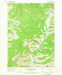 1964 Featherville1965 Print · USGSElmore County during the mid-sixties centers on the riverside communities along the Boise River. Trace family roots and mountain landmarks near Featherville and Dixie, or locate backcountry sites like Paradise Hot Springs and the Diamond Bar Airstrip.3 unique versions available
 - 1982 Map of Idaho City
 1982 Idaho City1982 Print · USGSThe Boise Basin and surrounding mountains appear in the early 1980s as a land transitioning from its gold-mining roots to a recreation-focused forest landscape. Researchers can trace historic mining operations at the Gold Hill Mine or locate remote settlements like Atlanta, Rocky Bar, and Featherville.
 - 2011 Map of Featherville, 2011 Print
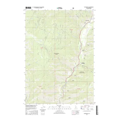
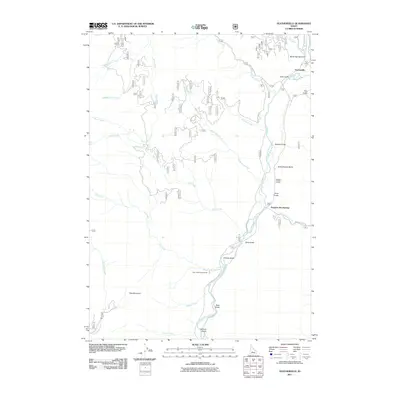 2011 Featherville2011 Print · USGSCovers Featherville, including Elmore County, United States, and other nearby areas
 - 2013 Map of Featherville, 2013 Print
 2013 Featherville2013 Print · USGSCovers Featherville, including Elmore County, United States, and other nearby areas
 - 2017 Map of Featherville, 2017 Print
 2017 Featherville2017 Print · USGSCovers Featherville, including Elmore County, United States, and other nearby areas
 - 2020 Map of Featherville, 2020 Print
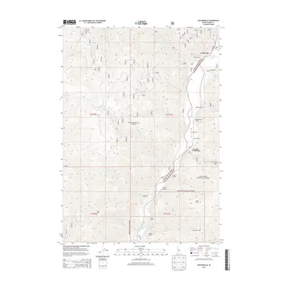
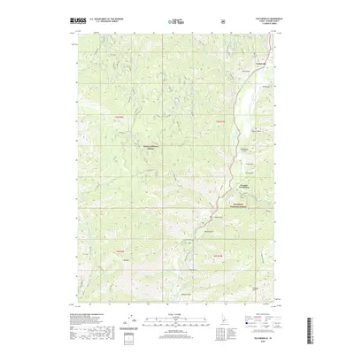 2020 Featherville2020 Print · USGSCovers Featherville, including Elmore County, United States, and other nearby areas
 - 2024 Map of Featherville, 2024 Print
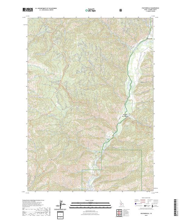 2024 Featherville2024 Print · USGSElmore County’s mountain interior is shown in great detail here, centering on the South Fork Boise River canyon during the modern era. Researchers can trace forest access routes and local landmarks like Paradise Hot Springs, Featherville, and the rugged peaks of the Soldier Mountains.
End of results
Showing maps 1-11 of 11
Frequently asked questions
- What are the different types of historical maps available for Featherville?
- What is the oldest map of Featherville?
- Where can I purchase historical maps of Featherville for my home or office?
- Where can I download high-res historical maps of Featherville?
- Are there historical topographic maps available for Featherville?
- Is there historical aerial imagery available for Featherville?
- Where are historical maps of Featherville sourced from?