2000s (21st Century) Maps of Mink Creek, Idaho
Explore 6 historic maps of Mink Creek from the 2000s (21st Century). These maps offer a rare glimpse into what life looked like during the 2000s — showing old roads, neighborhoods, homes, and landmarks that have changed or disappeared over time.
Whether you're researching your family's past, planning a metal detecting trip, or studying how Mink Creek's landscape evolved across the 2000s, these high-resolution maps are a powerful tool for exploring the history of this region.
- Focus on a specific era: All maps on this page are from the 2000s, giving you a focused view of this time period.
- See what’s changed: Compare century-old streets, trails, and buildings to today's modern landscape using overlays and satellite layers.
- Research with precision: Use these maps for genealogy, historical research, land use analysis, or educational projects.
- View, download, or print: Maps are fully viewable online in high resolution, and can be downloaded or printed for your own records.
Start exploring Mink Creek's history through authentic maps from the 2000s. This is your window into the past.
Mink Creek, ID maps
(6)- 2005 Map of Mink Creek, 2007 Print
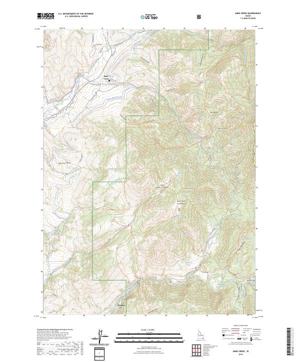
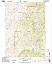 2005 Mink Creek2007 Print · USGSFranklin County, Idaho, is mapped here in the mid-2000s, showing a landscape defined by the Cache National Forest and the Bear River. Researchers can locate the Mink Creek settlement and Cem, the Station Creek Tunnel, and the Organizational Site (BSA).
 - 2011 Map of Mink Creek, 2011 Print
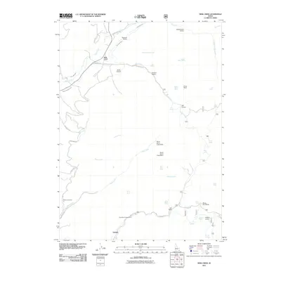 2011 Mink Creek2011 Print · USGSCovers Mink Creek, including Franklin County, Bear Lake County, and other nearby areas
 - 2013 Map of Mink Creek, 2013 Print
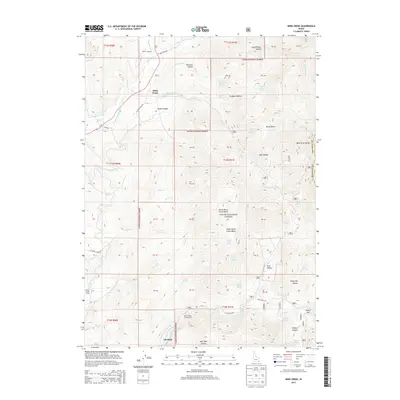 2013 Mink Creek2013 Print · USGSCovers Mink Creek, including Franklin County, Bear Lake County, and other nearby areas
 - 2017 Map of Mink Creek, 2017 Print
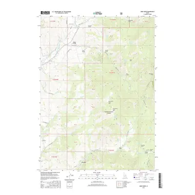 2017 Mink Creek2017 Print · USGSCovers Mink Creek, including Franklin County, Bear Lake County, and other nearby areas
 - 2020 Map of Mink Creek, 2020 Print
 2020 Mink Creek2020 Print · USGSCovers Mink Creek, including Franklin County, Bear Lake County, and other nearby areas
 - 2023 Map of Mink Creek, 2023 Print
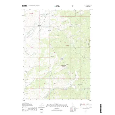
 2023 Mink Creek2023 Print · USGSMink Creek and the Idaho backcountry are shown here in the contemporary era, marked by high mountain ridges and valley irrigation. Genealogists can locate the Mink Creek Cem while hikers and historians trace the Shoshone Indian Trl and German Dugway Rd.
End of results
Showing maps 1-6 of 6
Top cities near Mink Creek
Frequently asked questions
- What are the different types of historical maps available for Mink Creek?
- What is the oldest map of Mink Creek?
- Where can I purchase historical maps of Mink Creek for my home or office?
- Where can I download high-res historical maps of Mink Creek?
- Are there historical topographic maps available for Mink Creek?
- Is there historical aerial imagery available for Mink Creek?
- Where are historical maps of Mink Creek sourced from?