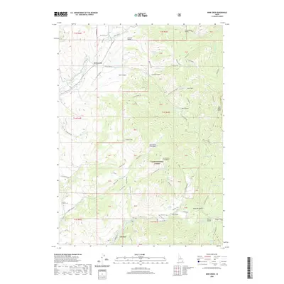
2020 Map of Mink Creek
USGS Topo · Published 2020About this map
Mink Creek and Glendale anchor this high-elevation landscape within the Bear River Range of southern Idaho. The complex water management systems of the region are clearly visible through the winding paths of the Twin Lakes Canal and the Preston Riverdale Canal, which navigate the steep topography of the Cache National Forest. The map documents a significant intersection of historical movement and modern infrastructure, featuring the Shoshone Indian Trail alongside a network of rugged roads like the German Dugway Rd.
Find a feature on this map
80 named features on this map. Tap any name to fly to it.
Don’t see what you’re looking for? This feature index may not catch every label — zoom into the map to look around manually.
Map Details
Editions of this 2020 Mink Creek Map
This is the sole edition of this map. No revisions or reprints were ever made.
Other maps of this area

1915 · Preston
USGS Topo · 1:96,000

1918 · Preston
USGS Topo · 1:125,000

1955 · Preston
USGS Topo · 1:250,000

1958 · Preston
USGS Topo · 1:250,000

1962 · Preston
USGS Topo · 1:250,000
1969 · Midnight Mtn
USGS Topo · 1:24,000
1969 · Egan Basin
USGS Topo · 1:24,000
1969 · Treasureton
USGS Topo · 1:24,000
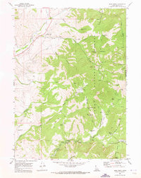
1969 · Mink Creek
USGS Topo · 1:24,000
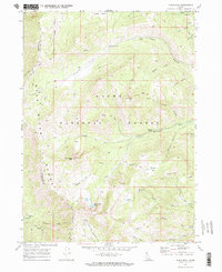
1969 · Paris Peak
USGS Topo · 1:24,000