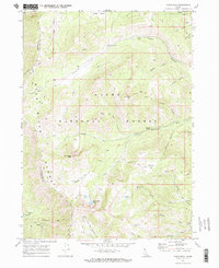
1969 Map of Paris Peak
USGS Topo · Published 1973About this map
Cache National Forest dominates this high-altitude terrain in the late 1960s, defined by the towering summits of Paris Peak and Bloomington Peak. The landscape is a network of water and ice, featuring the notable Paris Ice Cave and high-mountain basins like Bloomington Lake and Limekiln Lake. A complex system of primitive transportation routes marks the era, including the historic German Dugway and the lengthy High Line Trail traversing the Bear River Range.
Find a feature on this map
44 named features on this map. Tap any name to fly to it.
Don’t see what you’re looking for? This feature index may not catch every label — zoom into the map to look around manually.
Map Details
Editions of this 1969 Paris Peak Map
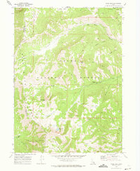
2 editions found
Other maps of this area

1909 · Montpelier
USGS Topo · 1:125,000

1911 · Montpelier
USGS Topo · 1:125,000

1915 · Preston
USGS Topo · 1:96,000

1918 · Preston
USGS Topo · 1:125,000

1955 · Preston
USGS Topo · 1:250,000

1958 · Preston
USGS Topo · 1:250,000

1962 · Preston
USGS Topo · 1:250,000

1967 · Paris
USGS Topo · 1:24,000

1967 · Ovid
USGS Topo · 1:24,000
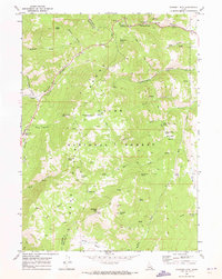
1969 · Midnight Mtn
USGS Topo · 1:24,000