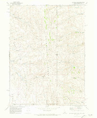
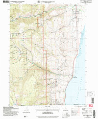
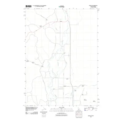
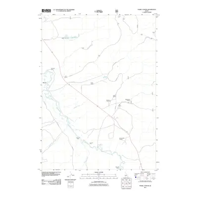
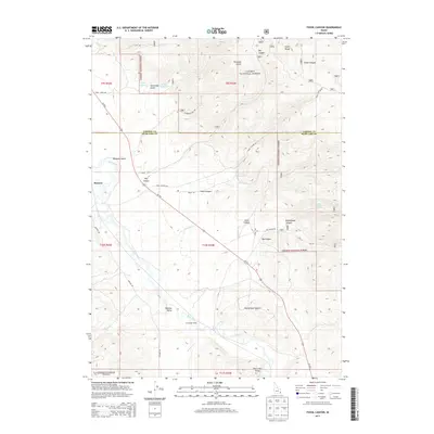
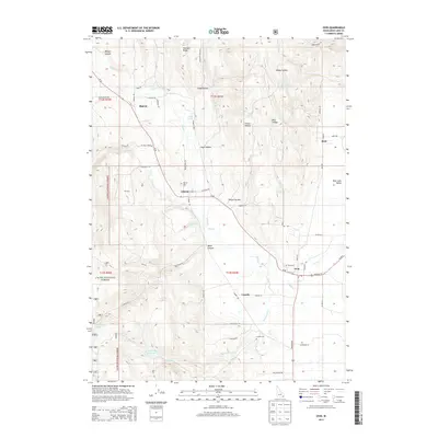
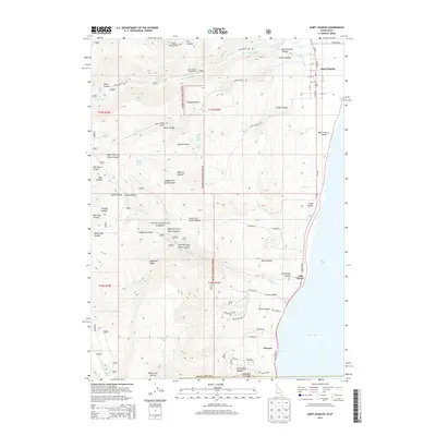
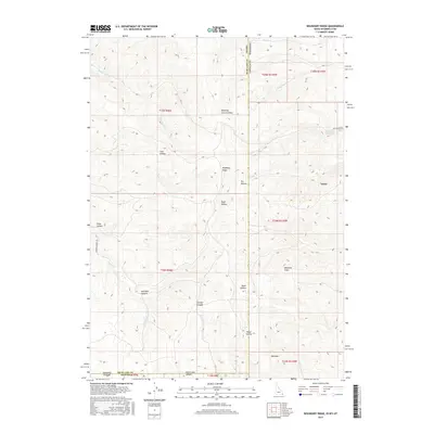
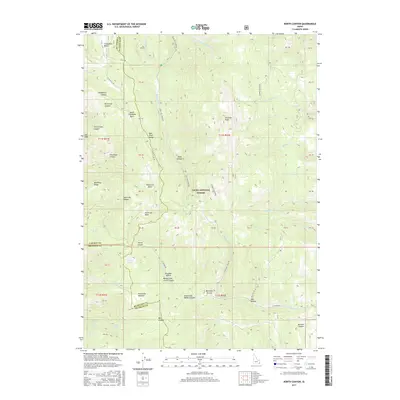
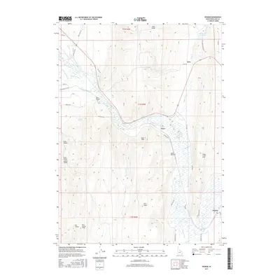
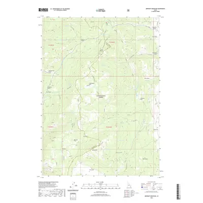
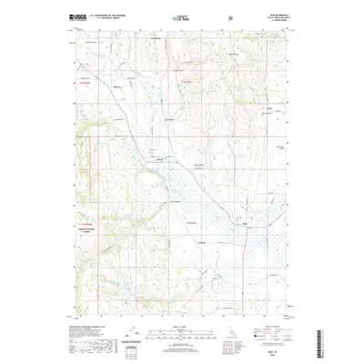
1967 Map of Ovid
USGS Topo · Published 1968About this map
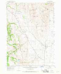
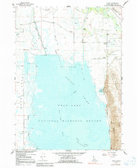
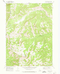
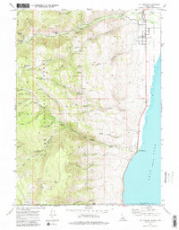
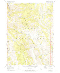
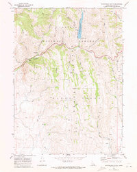
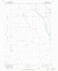
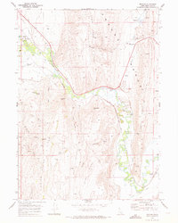
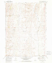
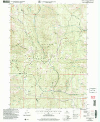
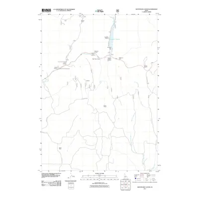
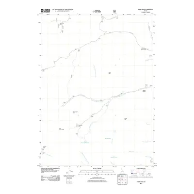
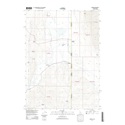
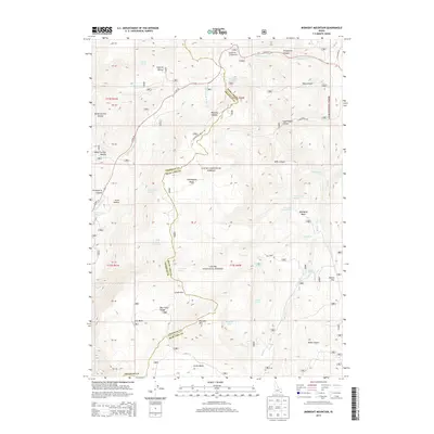
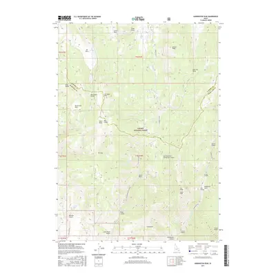
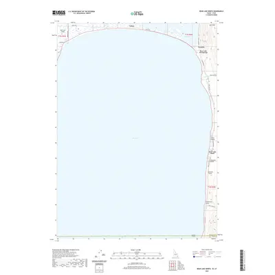
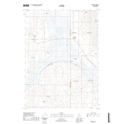
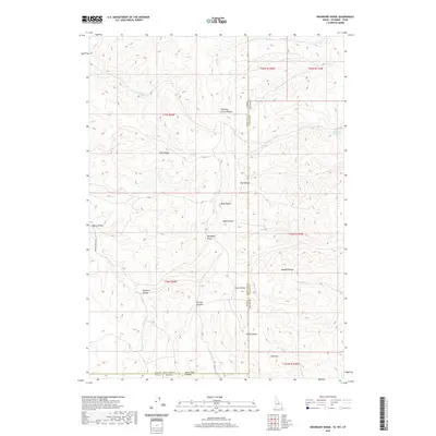
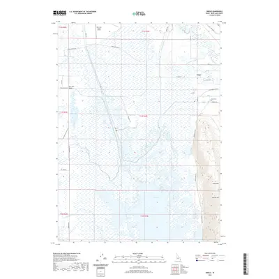
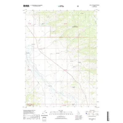
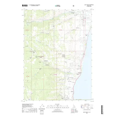
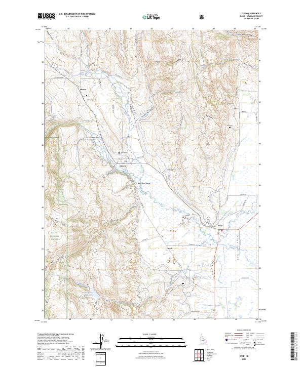
Ovid and the surrounding Bear Lake County landscape are detailed in this late 1960s survey, showing a network of small agricultural settlements connected by Lanark Road. The map documents the localized centers of Liberty, Sharon, Bern, and Lanark, each serving as a focal point for the surrounding ranches and farms. A notable historical transport marker is the Old Railroad Grade running north-south through the valley, indicating the path of former rail commerce through Bear Valley.
Find a feature on this map
40 named features on this map. Tap any name to fly to it.
Don’t see what you’re looking for? This feature index may not catch every label — zoom into the map to look around manually.
Map Details
Editions of this 1967 Ovid Map
This is the sole edition of this map. No revisions or reprints were ever made.
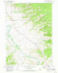
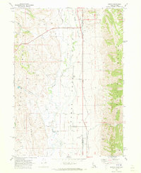
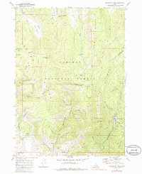
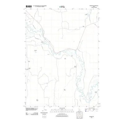
Historical Maps of Bern Through Time
116 maps found
1967 Dingle
Bear Lake County, ID
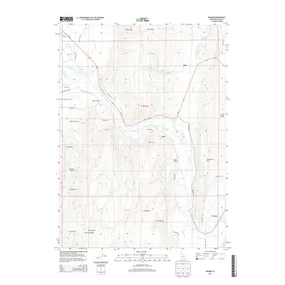
1967 Ovid
Bear Lake County, ID
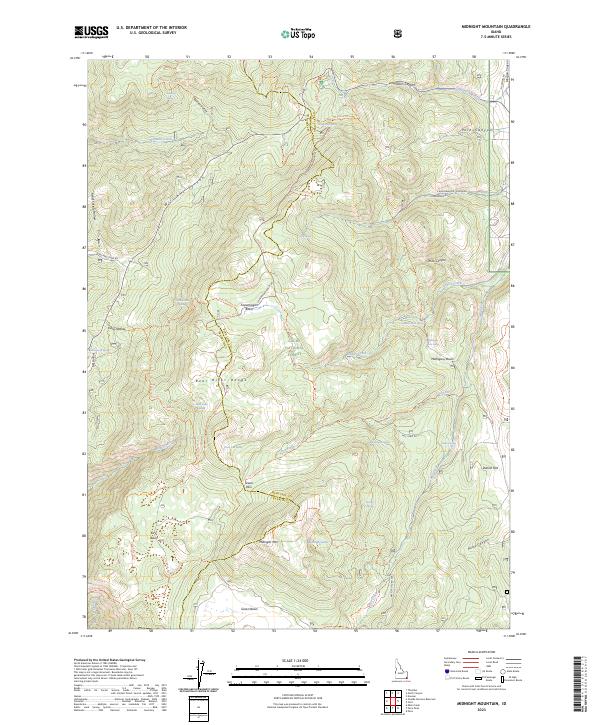
1969 Midnight Mtn
Bear Lake County, ID
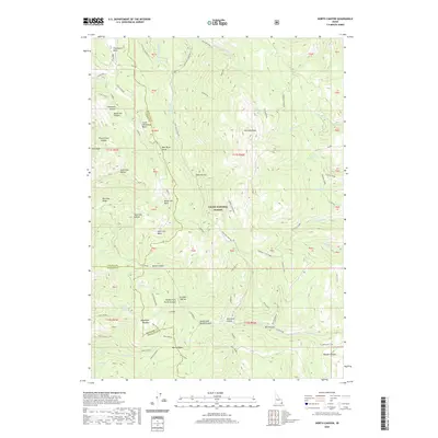
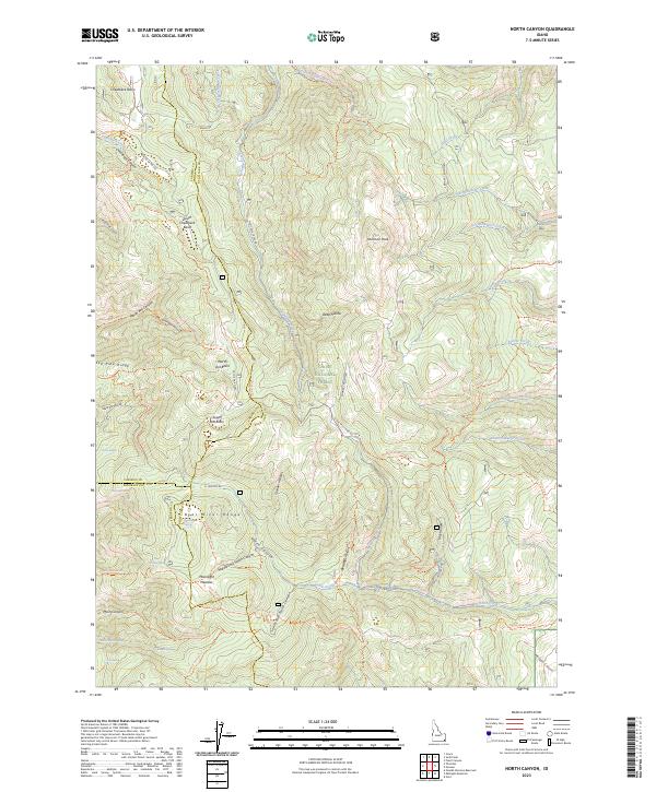
1969 North Canyon
Bear Lake County, ID
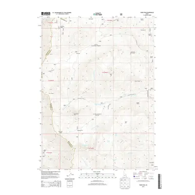
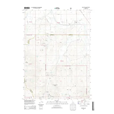
1969 Paris Peak
Bear Lake County, ID
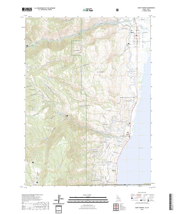
1969 St Charles
Bear Lake County, ID
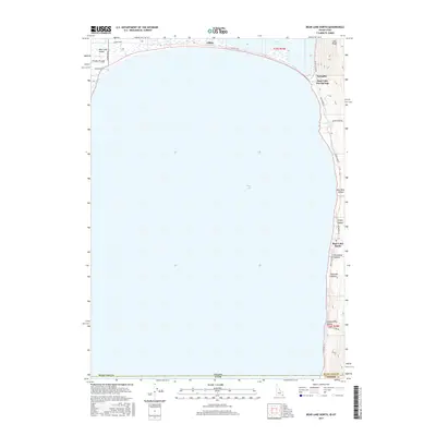
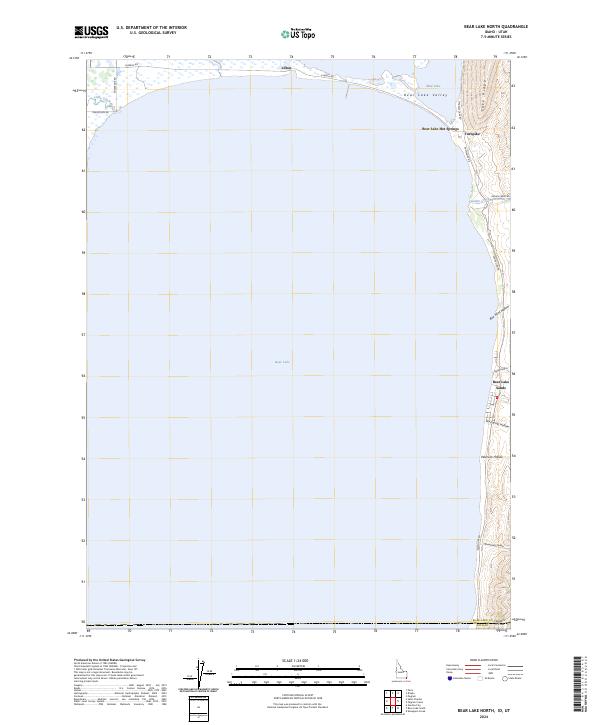
1970 Bear Lake North
Bear Lake County, ID
1970 Border
Bear Lake County, ID
1970 Boundary Ridge
Bear Lake County, ID
1970 Fossil Canyon
Bear Lake County, ID
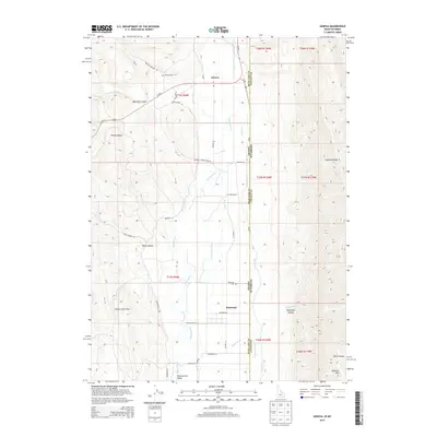
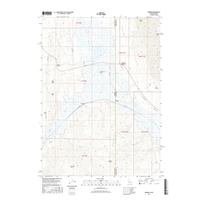
1970 Geneva
Bear Lake County, ID
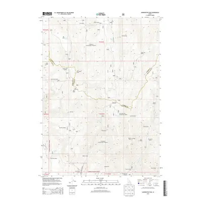
1970 Harrington Peak
Bear Lake County, ID
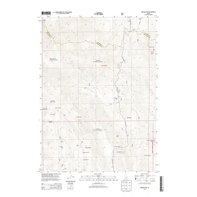
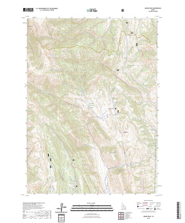
1970 Meade Peak
Bear Lake County, ID
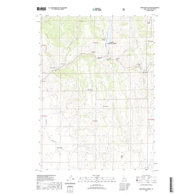
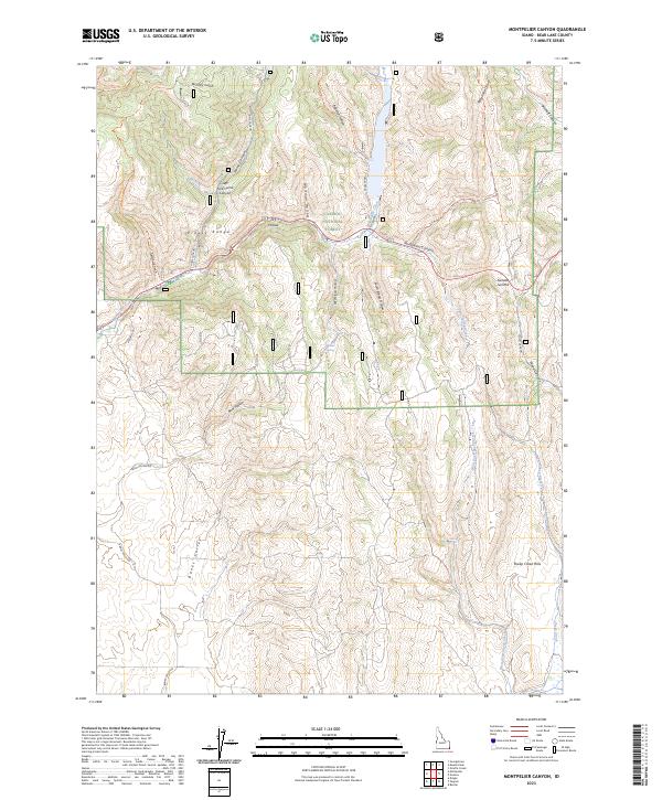
1970 Montpelier Canyon
Bear Lake County, ID
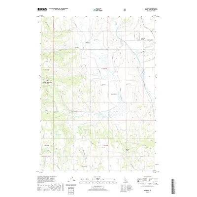
1970 Nounan
Bear Lake County, ID
1970 Pegram
Bear Lake County, ID
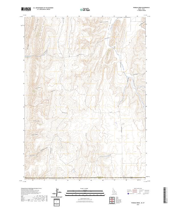
1970 Pegram Creek
Bear Lake County, ID
1977 Bear Lake North
Bear Lake County, ID
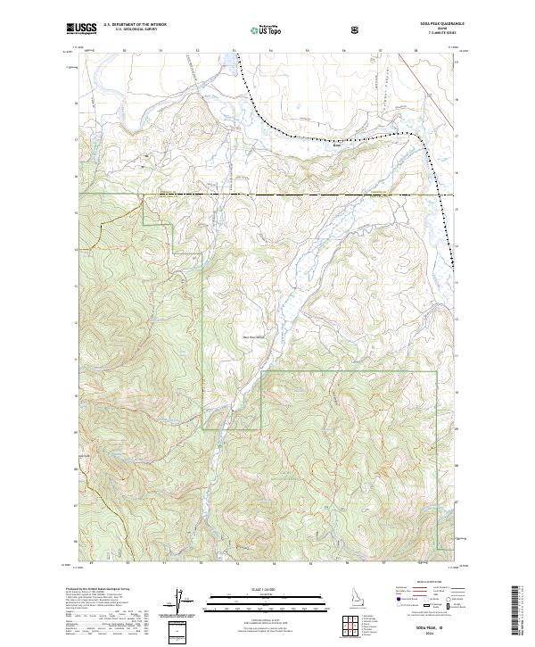
1982 Soda Peak
Bear Lake County, ID
2005 Midnight Mountain
Bear Lake County, ID
2005 North Canyon
Bear Lake County, ID
2005 Nounan
Bear Lake County, ID
2005 Ovid
Bear Lake County, ID
2005 Paris Peak
Bear Lake County, ID
2005 Saint Charles
Bear Lake County, ID
2005 Soda Peak
Bear Lake County, ID
2010 Border
Bear Lake County, ID
2010 Dingle
Bear Lake County, ID
2010 Geneva
Bear Lake County, ID
2010 Pegram
Bear Lake County, ID
2011 Bear Lake North
Bear Lake County, ID
2011 Boundary Ridge
Bear Lake County, ID
2011 Fossil Canyon
Bear Lake County, ID
2011 Harrington Peak
Bear Lake County, ID
2011 Meade Peak
Bear Lake County, ID
2011 Midnight Mountain
Bear Lake County, ID
2011 Montpelier Canyon
Bear Lake County, ID
2011 North Canyon
Bear Lake County, ID
2011 Nounan
Bear Lake County, ID
2011 Ovid
Bear Lake County, ID
2011 Paris Peak
Bear Lake County, ID
2011 Pegram Creek
Bear Lake County, ID
2011 Saint Charles
Bear Lake County, ID
2011 Soda Peak
Bear Lake County, ID
2013 Bear Lake North
Bear Lake County, ID
2013 Border
Bear Lake County, ID
2013 Boundary Ridge
Bear Lake County, ID
2013 Dingle
Bear Lake County, ID
2013 Fossil Canyon
Bear Lake County, ID
2013 Geneva
Bear Lake County, ID
2013 Harrington Peak
Bear Lake County, ID
2013 Meade Peak
Bear Lake County, ID
2013 Midnight Mountain
Bear Lake County, ID
2013 Montpelier Canyon
Bear Lake County, ID
2013 North Canyon
Bear Lake County, ID
2013 Nounan
Bear Lake County, ID
2013 Ovid
Bear Lake County, ID
2013 Paris Peak
Bear Lake County, ID
2013 Pegram
Bear Lake County, ID
2013 Pegram Creek
Bear Lake County, ID
2013 Saint Charles
Bear Lake County, ID
2013 Soda Peak
Bear Lake County, ID
2017 Bear Lake North
Bear Lake County, ID
2017 Border
Bear Lake County, ID
2017 Boundary Ridge
Bear Lake County, ID
2017 Dingle
Bear Lake County, ID
2017 Fossil Canyon
Bear Lake County, ID
2017 Geneva
Bear Lake County, ID
2017 Harrington Peak
Bear Lake County, ID
2017 Meade Peak
Bear Lake County, ID
2017 Midnight Mountain
Bear Lake County, ID
2017 Montpelier Canyon
Bear Lake County, ID
2017 North Canyon
Bear Lake County, ID
2017 Nounan
Bear Lake County, ID
2017 Ovid
Bear Lake County, ID
2017 Paris Peak
Bear Lake County, ID
2017 Pegram
Bear Lake County, ID
2017 Pegram Creek
Bear Lake County, ID
2017 Saint Charles
Bear Lake County, ID
2017 Soda Peak
Bear Lake County, ID
2020 Bear Lake North
Bear Lake County, ID
2020 Border
Bear Lake County, ID
2020 Boundary Ridge
Bear Lake County, ID
2020 Dingle
Bear Lake County, ID
2020 Fossil Canyon
Bear Lake County, ID
2020 Geneva
Bear Lake County, ID
2020 Harrington Peak
Bear Lake County, ID
2020 Meade Peak
Bear Lake County, ID
2020 Midnight Mountain
Bear Lake County, ID
2020 Montpelier Canyon
Bear Lake County, ID
2020 North Canyon
Bear Lake County, ID
2020 Nounan
Bear Lake County, ID
2020 Ovid
Bear Lake County, ID
2020 Paris Peak
Bear Lake County, ID
2020 Pegram
Bear Lake County, ID
2020 Pegram Creek
Bear Lake County, ID
2020 Saint Charles
Bear Lake County, ID
2020 Soda Peak
Bear Lake County, ID
2023 Border
Bear Lake County, ID
2023 Boundary Ridge
Bear Lake County, ID
2023 Dingle
Bear Lake County, ID
2023 Fossil Canyon
Bear Lake County, ID
2023 Geneva
Bear Lake County, ID
2023 Harrington Peak
Bear Lake County, ID
2023 Meade Peak
Bear Lake County, ID
2023 Midnight Mountain
Bear Lake County, ID
2023 Montpelier Canyon
Bear Lake County, ID
2023 North Canyon
Bear Lake County, ID
2023 Nounan
Bear Lake County, ID
2023 Ovid
Bear Lake County, ID
2023 Paris Peak
Bear Lake County, ID
2023 Pegram
Bear Lake County, ID
2023 Pegram Creek
Bear Lake County, ID
2024 Bear Lake North
Bear Lake County, ID
2024 Saint Charles
Bear Lake County, ID
2024 Soda Peak
Bear Lake County, ID