
1967 Map of Dingle
USGS Topo · Published 1969About this map
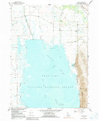
Dingle stands at the heart of an intricate aquatic landscape where the Bear River and Bear Lake Outlet meet the vast wetlands of the Bear Lake National Wildlife Refuge. This late-1960s survey documents a highly managed hydrological system, featuring the Rainbow Canal, Black Otter Canal, and Ream Crockett Canal that weave through the Dingle Swamp. These waterworks highlight the region's historical reliance on irrigation and flood control to support the Bear Lake Valley economy.
Find a feature on this map
23 named features on this map. Tap any name to fly to it.
Don’t see what you’re looking for? This feature index may not catch every label — zoom into the map to look around manually.
Map Details
Editions of this 1967 Dingle Map
2 editions found
Other maps of this area

1909 · Montpelier
USGS Topo · 1:125,000

1911 · Montpelier
USGS Topo · 1:125,000

1955 · Preston
USGS Topo · 1:250,000

1958 · Preston
USGS Topo · 1:250,000

1962 · Preston
USGS Topo · 1:250,000

1967 · Montpelier
USGS Topo · 1:24,000

1967 · Paris
USGS Topo · 1:24,000

1967 · Ovid
USGS Topo · 1:24,000
1969 · St Charles
USGS Topo · 1:24,000
1970 · Bear Lake North
USGS Topo · 1:24,000