2000s (21st Century) Maps of Warm River, Idaho
Explore 10 historic maps of Warm River from the 2000s (21st Century). These maps offer a rare glimpse into what life looked like during the 2000s — showing old roads, neighborhoods, homes, and landmarks that have changed or disappeared over time.
Whether you're researching your family's past, planning a metal detecting trip, or studying how Warm River's landscape evolved across the 2000s, these high-resolution maps are a powerful tool for exploring the history of this region.
- Focus on a specific era: All maps on this page are from the 2000s, giving you a focused view of this time period.
- See what’s changed: Compare century-old streets, trails, and buildings to today's modern landscape using overlays and satellite layers.
- Research with precision: Use these maps for genealogy, historical research, land use analysis, or educational projects.
- View, download, or print: Maps are fully viewable online in high resolution, and can be downloaded or printed for your own records.
Start exploring Warm River's history through authentic maps from the 2000s. This is your window into the past.
Warm River, ID maps
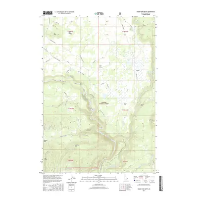
(10)- 2011 Map of Snake River Butte, 2011 Print
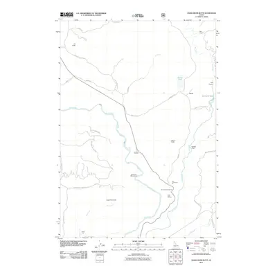 2011 Snake River Butte2011 Print · USGSCovers Warm River, including Fremont County, United States, and other nearby areas
 - 2011 Map of Warm River, 2011 Print
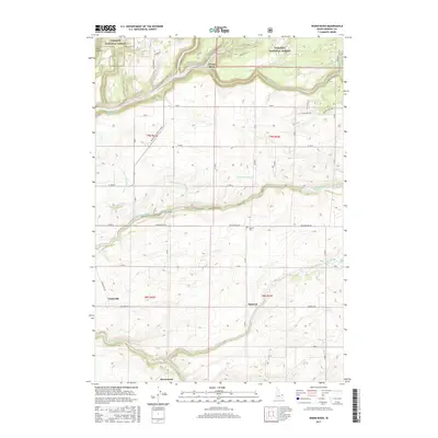
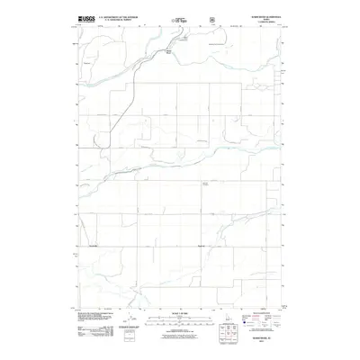 2011 Warm River2011 Print · USGSCovers Warm River, including Drummond, Fremont County, and other nearby areas
 - 2013 Map of Warm River, 2013 Print
 2013 Warm River2013 Print · USGSCovers Warm River, including Drummond, Fremont County, and other nearby areas
 - 2013 Map of Snake River Butte, 2013 Print
 2013 Snake River Butte2013 Print · USGSCovers Warm River, including Fremont County, United States, and other nearby areas
 - 2017 Map of Warm River, 2017 Print
 2017 Warm River2017 Print · USGSCovers Warm River, including Drummond, Fremont County, and other nearby areas
 - 2017 Map of Snake River Butte, 2017 Print
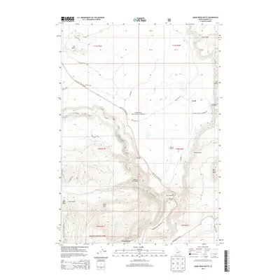
 2017 Snake River Butte2017 Print · USGSCovers Warm River, including Fremont County, United States, and other nearby areas
 - 2020 Map of Snake River Butte, 2020 Print
 2020 Snake River Butte2020 Print · USGSCovers Warm River, including Fremont County, United States, and other nearby areas
 - 2020 Map of Warm River, 2020 Print
 2020 Warm River2020 Print · USGSCovers Warm River, including Drummond, Fremont County, and other nearby areas
 - 2023 Map of Warm River, 2023 Print
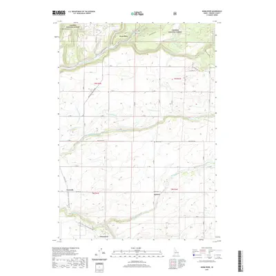
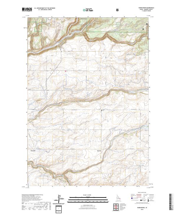 2023 Warm River2023 Print · USGSFremont County, Idaho, is documented here in the early twenty-first century as a landscape defined by forest boundaries and irrigation. Genealogists and local historians can locate the Squirrel Cem and trace the original footprints of Grainville and Squirrel.
 - 2024 Map of Snake River Butte, 2024 Print
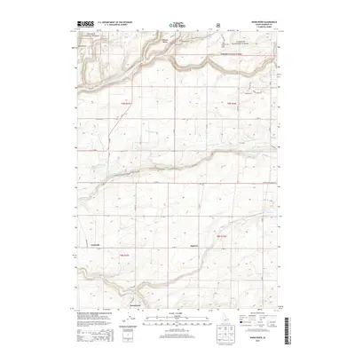
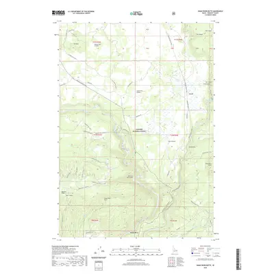
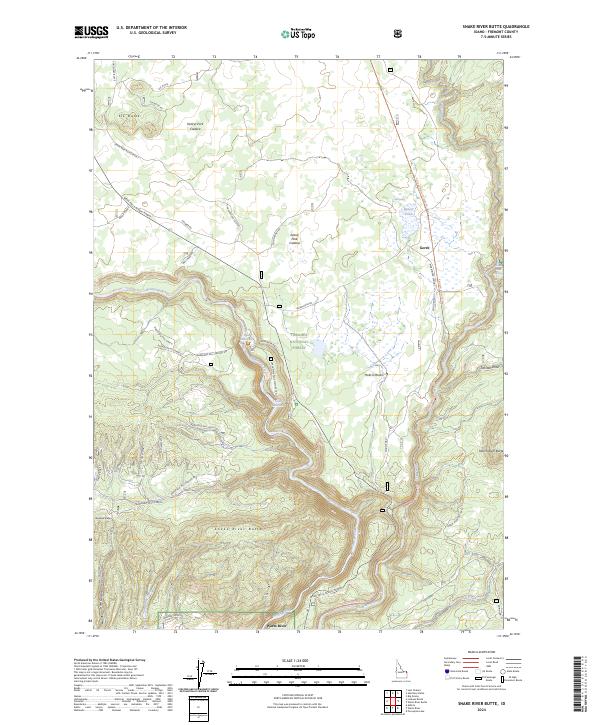 2024 Snake River Butte2024 Print · USGSFremont County's volcanic plateaus are captured here during the 2020s, showing the dramatic falls and forest lands of the eastern Idaho panhandle. Researchers can trace the Railroad Right-Of-Way Trl and find landmarks like Gerrit and Upper Mesa Falls.
End of results
Showing maps 1-10 of 10
Top cities near Warm River
Frequently asked questions
- What are the different types of historical maps available for Warm River?
- What is the oldest map of Warm River?
- Where can I purchase historical maps of Warm River for my home or office?
- Where can I download high-res historical maps of Warm River?
- Are there historical topographic maps available for Warm River?
- Is there historical aerial imagery available for Warm River?
- Where are historical maps of Warm River sourced from?