Old Maps of Mud Lake, Idaho for Academic Research
Study the evolution of Mud Lake with 9 high-resolution historic maps. Whether you're teaching, researching, or modeling changes in land use, these maps provide essential visual documentation of urban, environmental, and geographic change.
- Analyze long-term change: Track patterns in development, transportation, and natural features.
- Ideal for environmental or urban studies: Support academic projects with primary historical map data.
- Use in the classroom or lab: Educators and researchers rely on these maps to bring historical context to life.
These maps are a powerful tool for teaching, research, and visualizing how Mud Lake has changed over the decades.
Mud Lake, ID maps
(9)- 1955 Map of Idaho Falls, 1963 Print
 1955 Idaho Falls1963 Print · USGSThe Snake River Plain and its surrounding volcanic peaks are captured in the late fifties, showing the region's unique mix of nuclear research and high-desert ranching. Trace the industrial footprint of the National Reactor Testing Station or find old mining sites like Empire Mine.5 unique versions available
 - 1958 Map of Idaho Falls
 1958 Idaho Falls1958 Print · USGSEastern Idaho in the late fifties showcases the rapid expansion of agricultural and scientific outposts across its volcanic plains. Researchers can locate remote sites like Atomic City, mineral interests at White Knob Mine, and the cultural grounds of St Marys Mission.2 unique versions available
 - 1964 Map of Terreton, 1965 Print
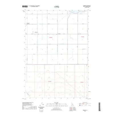
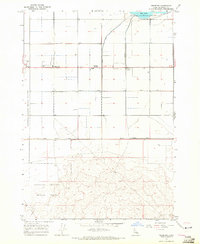 1964 Terreton1965 Print · USGSJefferson County during the mid-1960s shows a unique intersection of desert agriculture and federal research. Genealogists and historians can trace the irrigation networks of the Owsley Canal and early local settlements like Terreton and Terre.
 - 1980 Map of Circular Butte
 1980 Circular Butte1980 Print · USGSEastern Idaho at the start of the eighties shows a landscape of federal research and agricultural expansion. Trace the growth of nuclear history at the Idaho National Engineering Laboratory and early settlements like Monteview, Terreton, and Sage Junction.
 - 2010 Map of Terreton, 2010 Print
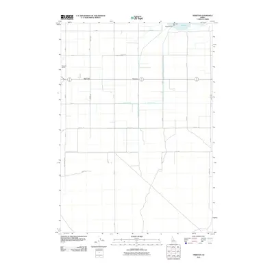 2010 Terreton2010 Print · USGSCovers Mud Lake, including Terreton, Jefferson County, and other nearby areas
 - 2013 Map of Terreton, 2013 Print
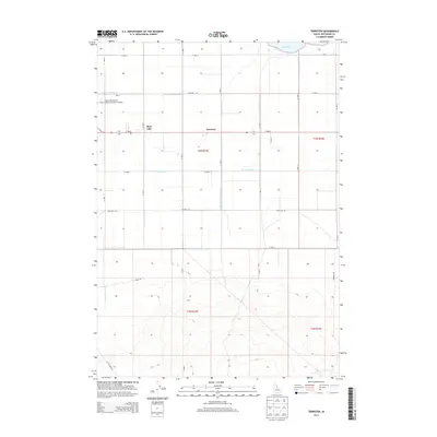 2013 Terreton2013 Print · USGSCovers Mud Lake, including Terreton, Jefferson County, and other nearby areas
 - 2017 Map of Terreton, 2017 Print
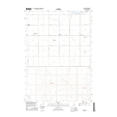 2017 Terreton2017 Print · USGSCovers Mud Lake, including Terreton, Jefferson County, and other nearby areas
 - 2020 Map of Terreton, 2020 Print
 2020 Terreton2020 Print · USGSCovers Mud Lake, including Terreton, Jefferson County, and other nearby areas
 - 2023 Map of Terreton, 2023 Print
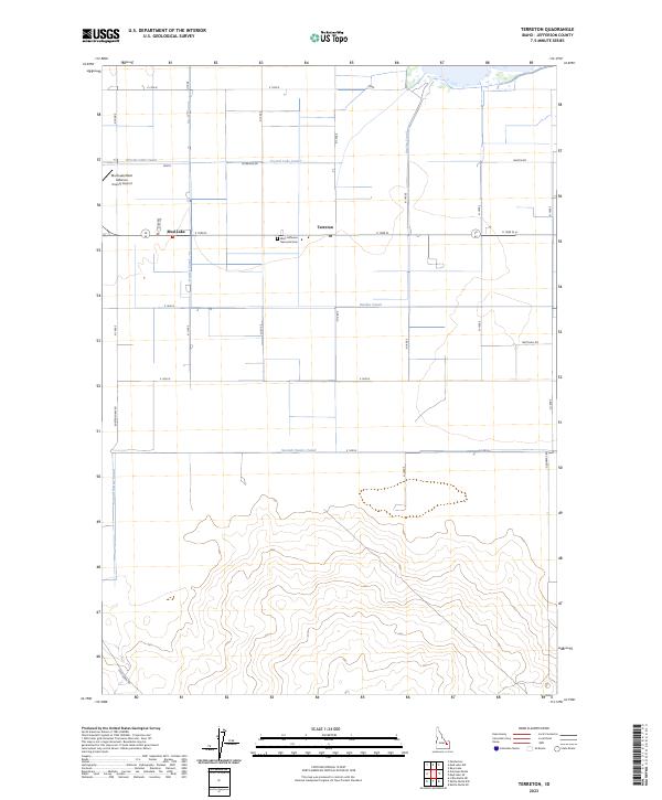 2023 Terreton2023 Print · USGSJefferson County’s agricultural heartland comes into focus in this recent survey of the Snake River Plain. Researchers can trace irrigation networks like the Owsley Canal alongside local landmarks such as West Jefferson Memorial Cem and the community of Mud Lake.
End of results
Showing maps 1-9 of 9
Frequently asked questions
- What are the different types of historical maps available for Mud Lake?
- What is the oldest map of Mud Lake?
- Where can I purchase historical maps of Mud Lake for my home or office?
- Where can I download high-res historical maps of Mud Lake?
- Are there historical topographic maps available for Mud Lake?
- Is there historical aerial imagery available for Mud Lake?
- Where are historical maps of Mud Lake sourced from?