2020s Maps of Jerome, Idaho
Explore 4 historic maps of Jerome from the 2020s. These maps offer a rare glimpse into what life looked like during the 2020s — showing old roads, neighborhoods, homes, and landmarks that have changed or disappeared over time.
Whether you're researching your family's past, planning a metal detecting trip, or studying how Jerome's landscape evolved across the 2020s, these high-resolution maps are a powerful tool for exploring the history of this region.
- Focus on a specific era: All maps on this page are from the 2020s, giving you a focused view of this time period.
- See what’s changed: Compare century-old streets, trails, and buildings to today's modern landscape using overlays and satellite layers.
- Research with precision: Use these maps for genealogy, historical research, land use analysis, or educational projects.
- View, download, or print: Maps are fully viewable online in high resolution, and can be downloaded or printed for your own records.
Start exploring Jerome's history through authentic maps from the 2020s. This is your window into the past.
Jerome, ID maps
(4)- 2020 Map of Falls City, 2020 Print
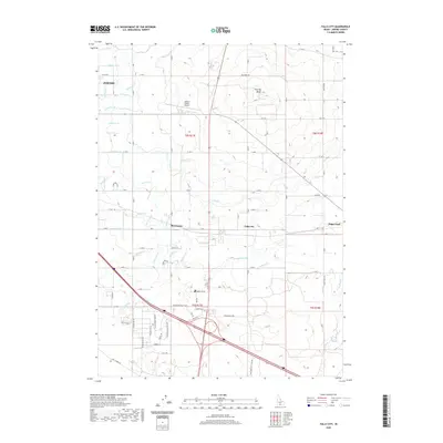 2020 Falls City2020 Print · USGSCovers Jerome, including Jerome County, United States, and other nearby areas
 - 2020 Map of Jerome, 2020 Print
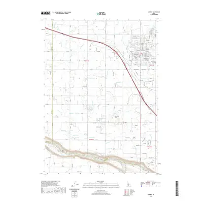 2020 Jerome2020 Print · USGSCovers Jerome, including Twin Falls County, Jerome County, and other nearby areas
 - 2024 Map of Falls City, 2024 Print
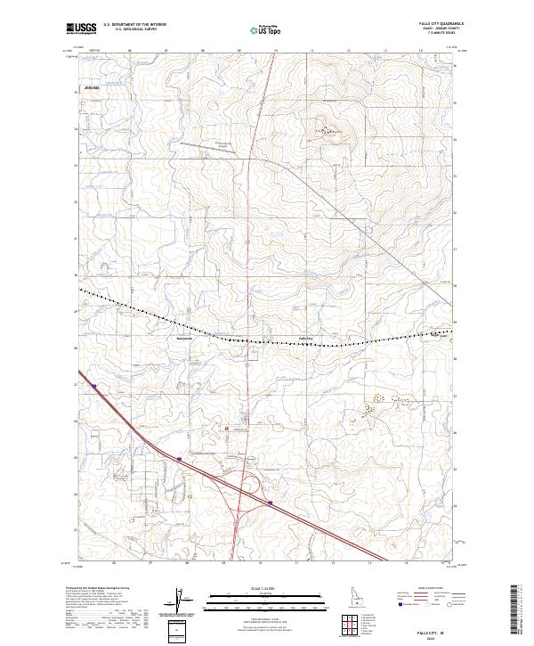 2024 Falls City2024 Print · USGSThe rural agricultural lands east of Jerome are mapped here in the early twenty-first century, showcasing a landscape transformed by irrigation. Trace the intricate water networks of the M Canal and L Canal past landmarks like Flat Top Butte and the settlement at Falls City.
 - 2024 Map of Jerome, 2024 Print
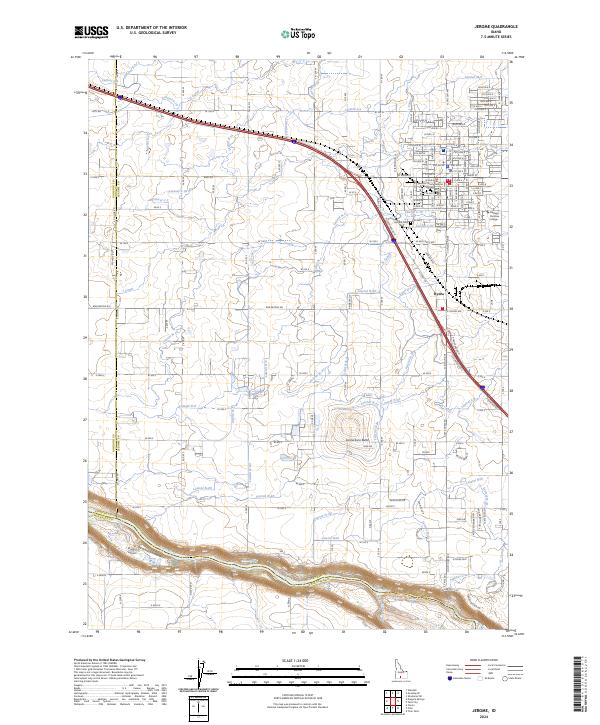 2024 Jerome2024 Print · USGSThe high desert of Southern Idaho comes alive in this contemporary map of the Jerome area and the Snake River canyon. Trace the vital irrigation network through the S Canal and J Canal, or locate family sites at the Jerome Cem.
End of results
Showing maps 1-4 of 4
Top cities near Jerome
- Twin Falls historical maps
- Gooding historical maps
- Wendell historical maps
- Kimberly historical maps
- Filer historical maps
- Shoshone historical maps
See more
Top neighborhoods of Jerome
Frequently asked questions
- What are the different types of historical maps available for Jerome?
- What is the oldest map of Jerome?
- Where can I purchase historical maps of Jerome for my home or office?
- Where can I download high-res historical maps of Jerome?
- Are there historical topographic maps available for Jerome?
- Is there historical aerial imagery available for Jerome?
- Where are historical maps of Jerome sourced from?