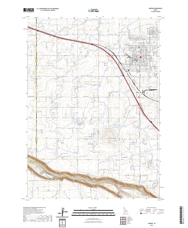
2024 Map of Jerome
USGS Topo · Published 2024About this map
The Snake River carves a deep, winding canyon along the southern border of this Idaho landscape, providing a sharp contrast to the geometric agricultural plains above. The city of Jerome serves as the primary hub, showing a dense street grid that includes local landmarks like the Jerome County Judicial Annex and Aletheia Christian College. This region is defined by its complex irrigation infrastructure, featuring an extensive network of waterways such as the S Canal, J Canal, and M-Canal Waste that distribute water across the high desert plateau.
Find a feature on this map
95 named features on this map. Tap any name to fly to it.
Don’t see what you’re looking for? This feature index may not catch every label — zoom into the map to look around manually.
Map Details
Editions of this 2024 Jerome Map
This is the sole edition of this map. No revisions or reprints were ever made.
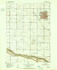
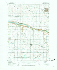
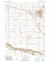
Historical Maps of Jerome Through Time
4 maps found