Old Maps of Helmer, Idaho for Metal Detecting
Plan your next treasure hunt with 11 historic maps of Helmer. Find old homesites, ghost towns, trails, and gathering spots that may be lost to time — perfect for identifying promising metal detecting locations.
- Locate forgotten sites: Uncover places like long-lost settlements, abandoned rail lines, or gathering spots.
- Plan better hunts: Use map overlays combined with LiDAR or satellite views to narrow in on historically rich areas.
- Made for detectorists: Thousands of hobbyists use these maps to discover relics, coins, and hidden history.
Use these historic maps to boost your research and find new opportunities beneath the surface of Helmer.
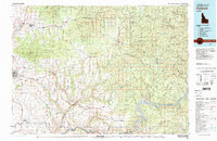
Helmer, ID maps
(11)- 1955 Map of Pullman, 1963 Print
 1955 Pullman1963 Print · USGSThe Palouse and Clearwater regions are captured here in the mid-1950s, showing the height of the rail-and-river economy. Genealogists and historians can trace rail lines like the Camas Prairie RR, find local landmarks like Whitman County Memorial Cem, and locate early academic centers at Washington State University and the University of Idaho.3 unique versions available
 - 1958 Map of Pullman
 1958 Pullman1958 Print · USGSThe Palouse and Clearwater regions are captured here in the late fifties, showing the vital river-and-rail connection between eastern Washington and northern Idaho. Local historians can trace the paths of the Camas Prairie RR and Union Pacific RR as they serve towns like Colfax, Kamiah, and Nezperce.2 unique versions available
 - 1961 Map of Bovill, 1963 Print
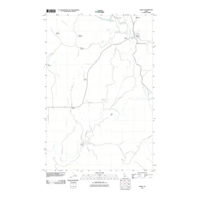
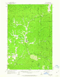 1961 Bovill1963 Print · USGSBovill and Helmer are captured during a period of active rail and mining operations in the Idaho panhandle. Researchers can trace the Milwaukee Road through the timberlands, locating the Mizpah Mine, local Claypits, and the Cem near Bovill.2 unique versions available
 - 1981 Map of Potlatch, 1982 Print
 1981 Potlatch1982 Print · USGSLatah County and the northern Nez Perce Reservation are shown here in the early 1980s, documenting the rail-and-river network of the Idaho panhandle. Researchers can trace historic transport lines like the Burlington Northern and find remote landmarks such as the Gold Hill Mine and Potato Hill.2 unique versions available
 - 1990 Map of Bovill, 1991 Print
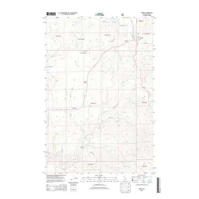
 1990 Bovill1991 Print · USGSBovill and the surrounding timberlands are captured here in the late twentieth century as the rail-and-river economy continued to shape Latah County. Researchers can trace the Old R.R. Grade, locate the local Cem, and explore industrial sites like the Clay Pit and various Tailings.
 - 1994 Map of Bovill, 1997 Print
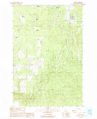
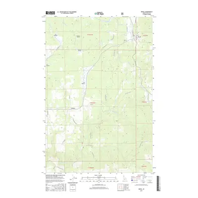
 1994 Bovill1997 Print · USGSBovill and the surrounding timberlands of the St. Joe National Forest are captured here in the mid-1990s as a hub of rail and river activity. Researchers can trace the Old RR Grade and find local landmarks like the Cemetery, Helmer settlement, and Moose Creek Reservoir.
 - 2011 Map of Bovill, 2011 Print
 2011 Bovill2011 Print · USGSCovers Helmer, including Bovill, Latah County, and other nearby areas
 - 2014 Map of Bovill, 2014 Print
 2014 Bovill2014 Print · USGSCovers Helmer, including Bovill, Latah County, and other nearby areas
 - 2017 Map of Bovill, 2017 Print
 2017 Bovill2017 Print · USGSCovers Helmer, including Bovill, Latah County, and other nearby areas
 - 2020 Map of Bovill, 2020 Print
 2020 Bovill2020 Print · USGSCovers Helmer, including Bovill, Latah County, and other nearby areas
 - 2024 Map of Bovill, 2024 Print
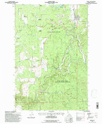
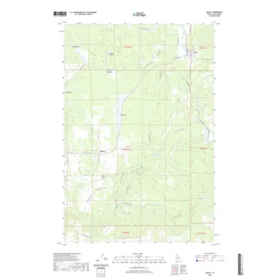
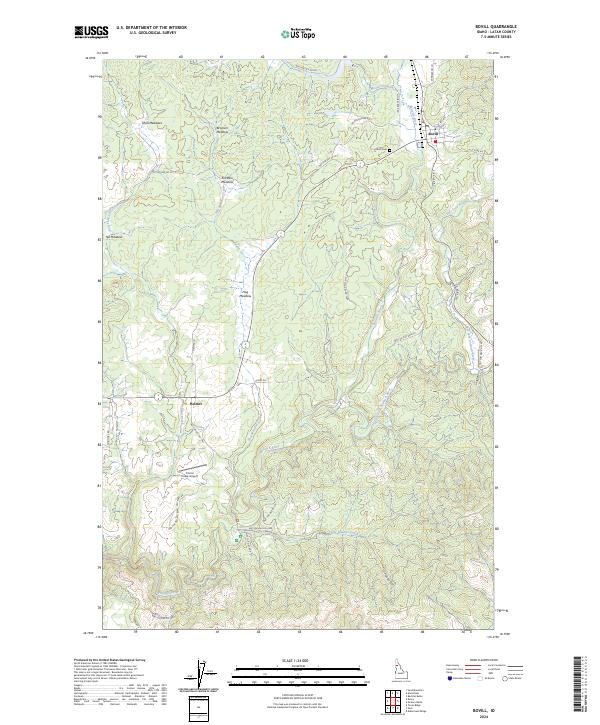 2024 Bovill2024 Print · USGSThe timber and meadowlands of Latah County come into focus during the mid-2020s, centered on the logging and rail history of Bovill and Helmer. Trace local landmarks from Bovill Cem and Corral Creek Airport to high-country clearings like Shea Meadows.
End of results
Showing maps 1-11 of 11
Top cities near Helmer
Frequently asked questions
- What are the different types of historical maps available for Helmer?
- What is the oldest map of Helmer?
- Where can I purchase historical maps of Helmer for my home or office?
- Where can I download high-res historical maps of Helmer?
- Are there historical topographic maps available for Helmer?
- Is there historical aerial imagery available for Helmer?
- Where are historical maps of Helmer sourced from?