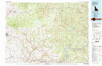
Old Maps of Kendrick, Idaho for Hiking & Exploration
Hike through history with 11 historic maps of Kendrick. Explore old trails, ghost towns, and forgotten backroads — perfect for outdoor adventurers and local explorers.
- Rediscover forgotten places: Map out old mining camps, roads, and footpaths that no longer exist on modern maps.
- Layer with modern tools: Combine with LiDAR or satellite views to plan hikes through historical terrain.
- Made for exploration: Popular among hikers, overlanders, and local history lovers.
Use these maps to find adventure and explore the hidden past of Kendrick.
Kendrick, ID maps
(11)- 1955 Map of Pullman, 1963 Print
 1955 Pullman1963 Print · USGSThe Palouse and Clearwater regions are captured here in the mid-1950s, showing the height of the rail-and-river economy. Genealogists and historians can trace rail lines like the Camas Prairie RR, find local landmarks like Whitman County Memorial Cem, and locate early academic centers at Washington State University and the University of Idaho.3 unique versions available
 - 1958 Map of Pullman
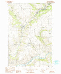
 1958 Pullman1958 Print · USGSThe Palouse and Clearwater regions are captured here in the late fifties, showing the vital river-and-rail connection between eastern Washington and northern Idaho. Local historians can trace the paths of the Camas Prairie RR and Union Pacific RR as they serve towns like Colfax, Kamiah, and Nezperce.2 unique versions available
 - 1961 Map of Kendrick, 1963 Print
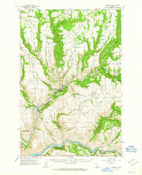 1961 Kendrick1963 Print · USGSThe Potlatch and Clearwater river valleys were bustling rail and timber corridors in the early sixties. Genealogists can trace family roots through numerous upland burial sites like Little Bear Ridge Cem and American Ridge Cem, or locate the schools and homesteads near Kendrick and Juliaetta.2 unique versions available
 - 1981 Map of Potlatch, 1982 Print
 1981 Potlatch1982 Print · USGSLatah County and the northern Nez Perce Reservation are shown here in the early 1980s, documenting the rail-and-river network of the Idaho panhandle. Researchers can trace historic transport lines like the Burlington Northern and find remote landmarks such as the Gold Hill Mine and Potato Hill.2 unique versions available
 - 1990 Map of Juliaetta
 1990 Juliaetta1990 Print · USGSThe canyon of the Potlatch River and the high plateaus of Latah County are captured here just as the late twentieth century began. Genealogists and local historians can trace the boundaries of the Nez Perce Indian Reservation or locate family sites like American Ridge Cem and Juliaetta Cem.
 - 2010 Map of Juliaetta, 2010 Print
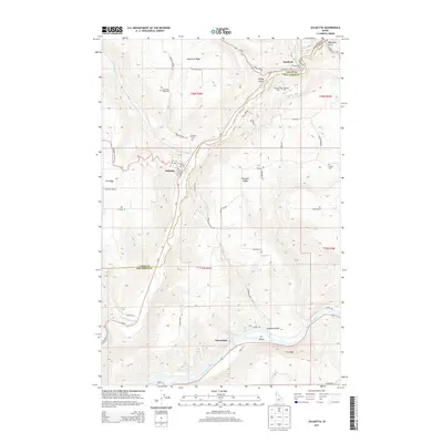
 2010 Juliaetta2010 Print · USGSCovers Kendrick, including Juliaetta, Nez Perce County, and other nearby areas
 - 2013 Map of Juliaetta, 2013 Print
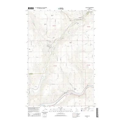
 2013 Juliaetta2013 Print · USGSCovers Kendrick, including Juliaetta, Nez Perce County, and other nearby areas
 - 2017 Map of Juliaetta, 2017 Print
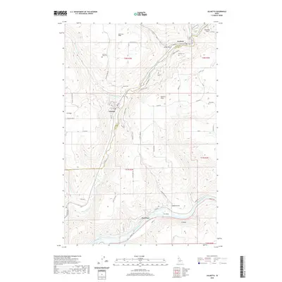
 2017 Juliaetta2017 Print · USGSCovers Kendrick, including Juliaetta, Nez Perce County, and other nearby areas
 - 2020 Map of Juliaetta, 2020 Print
 2020 Juliaetta2020 Print · USGSCovers Kendrick, including Juliaetta, Nez Perce County, and other nearby areas
 - 2023 Map of Juliaetta, 2023 Print
 2023 Juliaetta2023 Print · USGSCovers Kendrick, including Juliaetta, Nez Perce County, and other nearby areas
 - 2024 Map of Juliaetta, 2024 Print
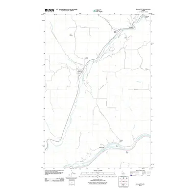
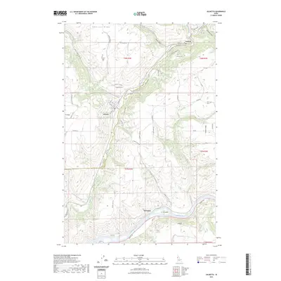
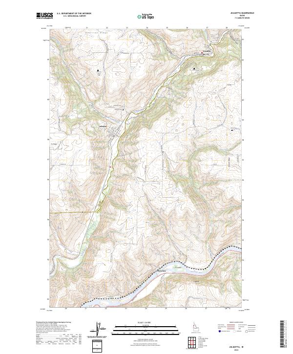 2024 Juliaetta2024 Print · USGSThe river canyons and high plateaus of Idaho are mapped here at the junction of the Latah and Nez Perce county lines. Trace local heritage through the streets of Juliaetta and Kendrick, or locate rural landmarks like American Ridge Cem and Fir Island.
End of results
Showing maps 1-11 of 11
Top cities near Kendrick
Frequently asked questions
- What are the different types of historical maps available for Kendrick?
- What is the oldest map of Kendrick?
- Where can I purchase historical maps of Kendrick for my home or office?
- Where can I download high-res historical maps of Kendrick?
- Are there historical topographic maps available for Kendrick?
- Is there historical aerial imagery available for Kendrick?
- Where are historical maps of Kendrick sourced from?