Old Maps of Hoyt, Idaho for Hiking & Exploration
Hike through history with 13 historic maps of Hoyt. Explore old trails, ghost towns, and forgotten backroads — perfect for outdoor adventurers and local explorers.
- Rediscover forgotten places: Map out old mining camps, roads, and footpaths that no longer exist on modern maps.
- Layer with modern tools: Combine with LiDAR or satellite views to plan hikes through historical terrain.
- Made for exploration: Popular among hikers, overlanders, and local history lovers.
Use these maps to find adventure and explore the hidden past of Hoyt.
Hoyt, ID maps
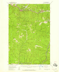
(13)- 1914 Map of Avery, 1954 Print
 1914 Avery1954 Print · USGSThe Bitterroot Range was a hive of mining and rail activity when this survey was conducted. You can trace the Chicago Milwaukee and St Paul Railway route or locate early mining operations like the Snowstorm Mine and Mastodon Mine.
 - 1917 Map of Avery, 1949 Print
 1917 Avery1949 Print · USGSThe mining camps and mountain passes of the Idaho-Montana border are documented here just after the peak of the regional silver and lead boom. You can trace the path of the Milwaukee St Paul and Pacific RR or locate historic claims like the Snowstorm Mine and Monitor Mine.
 - 1956 Map of Wallace, 1966 Print
 1956 Wallace1966 Print · USGSWestern Montana and the Idaho panhandle meet in this mid-century survey of the Bitterroot and Cabinet Mountains. Genealogists and historians can trace the rail-and-river economy through the Northern Pacific line and settlements like Thompson Falls or St. Ignatius.3 unique versions available
 - 1957 Map of Wallace, 1959 Print
 1957 Wallace1959 Print · USGSShoshone County mining towns and the rugged St. Joe watershed are frozen in time during the late fifties. Genealogists and industrial historians can trace the foundations of the Silver Valley via the Miners Union Cemetery, Morning Mine, and the Milwaukee Road.3 unique versions available
 - 1960 Map of Wallace
 1960 Wallace1960 Print · USGSNorthwestern Montana and the Idaho panhandle are captured in the late fifties, showing the vast Flathead Indian Reservation and the mining districts of the Bitterroot Range. Researchers can trace the rail lines of the Northern Pacific or locate early sites like the Morning Mine and the National Bison Range.
 - 1988 Map of Mastodon Mountain
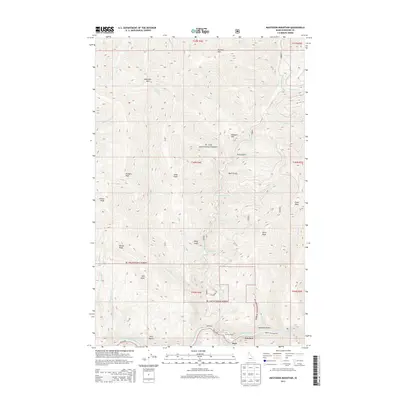
 1988 Mastodon Mountain1988 Print · USGSShoshone County in the late twentieth century is shown as a landscape of high peaks and timber management within the St Joe National Forest. Researchers can trace early wilderness access via the Pack Trail and locate the Dunn Peak Lookout overlooking the St Joe River.
 - 1994 Map of Wallace
 1994 Wallace1994 Print · USGSThe Bitterroot Mountains and the mining heart of the Silver Valley are captured here in the mid-1990s. Researchers can locate active and historic mineral operations such as the Argentine Mine and Last Chance Mines, while tracing the Milwaukee Road through the high passes.
 - 1995 Map of Mastodon Mountain, 1997 Print
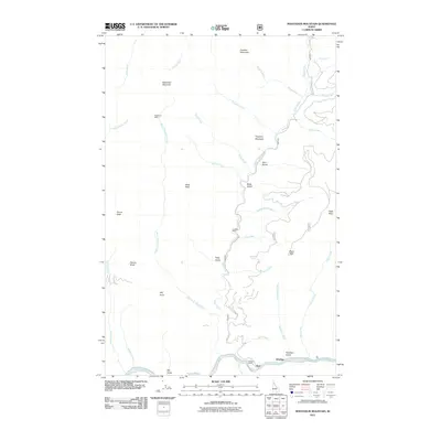
 1995 Mastodon Mountain1997 Print · USGSShoshone County's rugged backcountry is mapped here in the mid-nineties, showing the high summits and deep canyons of the St Joe National Forest. Trace the historical mining footprint at Franklin Mine and find remote high-country landmarks like Nud Lookout on Dunn Peak.
 - 2011 Map of Mastodon Mountain, 2011 Print
 2011 Mastodon Mountain2011 Print · USGSCovers Hoyt, including Shoshone County, United States, and other nearby areas
 - 2013 Map of Mastodon Mountain, 2013 Print
 2013 Mastodon Mountain2013 Print · USGSCovers Hoyt, including Shoshone County, United States, and other nearby areas
 - 2017 Map of Mastodon Mountain, 2017 Print
 2017 Mastodon Mountain2017 Print · USGSCovers Hoyt, including Shoshone County, United States, and other nearby areas
 - 2020 Map of Mastodon Mountain, 2020 Print
 2020 Mastodon Mountain2020 Print · USGSCovers Hoyt, including Shoshone County, United States, and other nearby areas
 - 2024 Map of Mastodon Mountain, 2024 Print
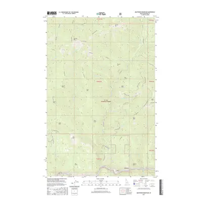
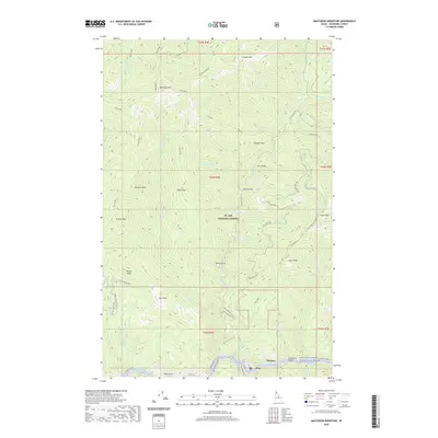
 2024 Mastodon Mountain2024 Print · USGSThe Saint Joe River corridor and the surrounding high country of Shoshone County are captured here in the contemporary era. Researchers can locate the small riverside communities of Hoyt and Ethelton or trace the drainage of Slate Creek up toward Mastodon Mtn.
End of results
Showing maps 1-13 of 13
Top cities near Hoyt
Frequently asked questions
- What are the different types of historical maps available for Hoyt?
- What is the oldest map of Hoyt?
- Where can I purchase historical maps of Hoyt for my home or office?
- Where can I download high-res historical maps of Hoyt?
- Are there historical topographic maps available for Hoyt?
- Is there historical aerial imagery available for Hoyt?
- Where are historical maps of Hoyt sourced from?