Old Maps of Olsons, Idaho for Hiking & Exploration
Hike through history with 13 historic maps of Olsons. Explore old trails, ghost towns, and forgotten backroads — perfect for outdoor adventurers and local explorers.
- Rediscover forgotten places: Map out old mining camps, roads, and footpaths that no longer exist on modern maps.
- Layer with modern tools: Combine with LiDAR or satellite views to plan hikes through historical terrain.
- Made for exploration: Popular among hikers, overlanders, and local history lovers.
Use these maps to find adventure and explore the hidden past of Olsons.
Olsons, ID maps
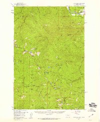
(13)- 1918 Map of St Regis, 1946 Print
 1918 St Regis1946 Print · USGSMineral County, Montana, was a bustling corridor for mining and rail traffic during the early twentieth century. Researchers can trace the path of the Northern Pacific through St Regis or locate remote sites like the Gold Crown Mine and Gold Nugget Cabin.
 - 1919 Map of St. Regis
 1919 St. Regis1919 Print · USGSThe Montana-Idaho borderlands were a hub of mountain mining and transcontinental railroading during the early twentieth century. Genealogists and historians can locate remote settlements like DeBorgia and Henderson or trace old mining operations such as the Saltese Consolidated Mine and Gold Crown Mine.
 - 1956 Map of Wallace, 1966 Print
 1956 Wallace1966 Print · USGSWestern Montana and the Idaho panhandle meet in this mid-century survey of the Bitterroot and Cabinet Mountains. Genealogists and historians can trace the rail-and-river economy through the Northern Pacific line and settlements like Thompson Falls or St. Ignatius.3 unique versions available
 - 1957 Map of Illinois Peak, 1959 Print
 1957 Illinois Peak1959 Print · USGSThe Bitterroot and Coeur d'Alene mountain ranges meet in the late fifties at this junction of three National Forests. Prospectors and local historians can trace legacy mining claims like the Silver King Mine and Gildersleeve Mine near Illinois Peak.2 unique versions available
 - 1960 Map of Wallace
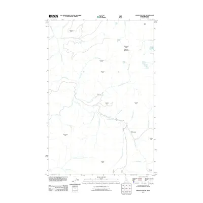
 1960 Wallace1960 Print · USGSNorthwestern Montana and the Idaho panhandle are captured in the late fifties, showing the vast Flathead Indian Reservation and the mining districts of the Bitterroot Range. Researchers can trace the rail lines of the Northern Pacific or locate early sites like the Morning Mine and the National Bison Range.
 - 1988 Map of Sherlock Peak
 1988 Sherlock Peak1988 Print · USGSThe Idaho-Montana borderlands come alive in the late eighties, showing a wilderness of river canyons and high mountain peaks. You can trace the rugged Pack Trail network to the Gold Nugget Mine or locate the solitary Grave along the St Joe River.
 - 1994 Map of Wallace
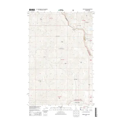
 1994 Wallace1994 Print · USGSThe Bitterroot Mountains and the mining heart of the Silver Valley are captured here in the mid-1990s. Researchers can locate active and historic mineral operations such as the Argentine Mine and Last Chance Mines, while tracing the Milwaukee Road through the high passes.
 - 1995 Map of Sherlock Peak, 1997 Print
 1995 Sherlock Peak1997 Print · USGSThe Montana-Idaho border highlands are revealed in this mid-nineties survey, showing the confluence of three national forests. Researchers can trace historical high-country land use through the Gold Nugget Mine and the remote Grave Heller Creek site.
 - 2011 Map of Sherlock Peak, 2011 Print
 2011 Sherlock Peak2011 Print · USGSCovers Olsons, including Shoshone County, Mineral County, and other nearby areas
 - 2013 Map of Sherlock Peak, 2013 Print
 2013 Sherlock Peak2013 Print · USGSCovers Olsons, including Shoshone County, Mineral County, and other nearby areas
 - 2017 Map of Sherlock Peak, 2017 Print
 2017 Sherlock Peak2017 Print · USGSCovers Olsons, including Shoshone County, Mineral County, and other nearby areas
 - 2020 Map of Sherlock Peak, 2020 Print
 2020 Sherlock Peak2020 Print · USGSCovers Olsons, including Shoshone County, Mineral County, and other nearby areas
 - 2024 Map of Sherlock Peak, 2024 Print
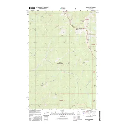
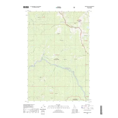
 2024 Sherlock Peak2024 Print · USGSThe Idaho-Montana borderlands along the Bitterroot Range are mapped here in detail, showing a wilderness of national forests and high peaks. Researchers can locate the isolated Heller Grave or trace historic routes like the Heller-Simmons-Divide Trl and State Line Trl.
End of results
Showing maps 1-13 of 13
Top cities near Olsons
Frequently asked questions
- What are the different types of historical maps available for Olsons?
- What is the oldest map of Olsons?
- Where can I purchase historical maps of Olsons for my home or office?
- Where can I download high-res historical maps of Olsons?
- Are there historical topographic maps available for Olsons?
- Is there historical aerial imagery available for Olsons?
- Where are historical maps of Olsons sourced from?