Old Maps of Buhl, Idaho for Academic Research
Study the evolution of Buhl with 16 high-resolution historic maps. Whether you're teaching, researching, or modeling changes in land use, these maps provide essential visual documentation of urban, environmental, and geographic change.
- Analyze long-term change: Track patterns in development, transportation, and natural features.
- Ideal for environmental or urban studies: Support academic projects with primary historical map data.
- Use in the classroom or lab: Educators and researchers rely on these maps to bring historical context to life.
These maps are a powerful tool for teaching, research, and visualizing how Buhl has changed over the decades.
Buhl, ID maps
(16)- 1950 Map of Jerome, 1959 Print
 1950 Jerome1959 Print · USGSThe Magic Valley agricultural landscape is captured here in the 1950s, showing the early growth of Jerome and Filer along the Union Pacific rail lines. Genealogists and local historians can trace rural schools like Cedar Draw School and landmarks including the IOOF Cem and Northview Grange.2 unique versions available
 - 1951 Map of Clover
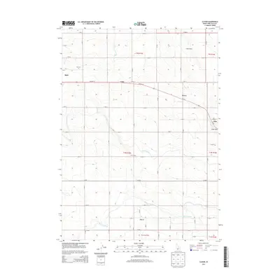
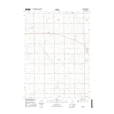
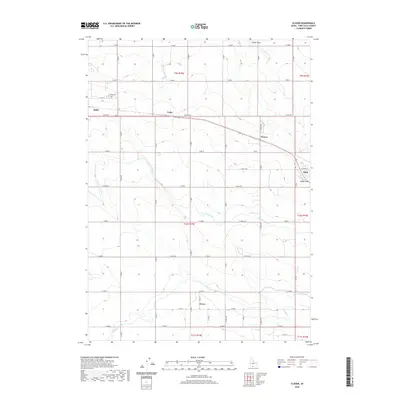
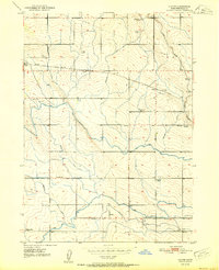 1951 Clover1951 Print · USGSTwin Falls County agriculture is in full swing at mid-century, defined by the vital irrigation canals and rail lines serving the high desert. Genealogists can trace family landmarks and rural education at Poplar Hill School, Syringa Sch, and the Buhl Cemetery.2 unique versions available
 - 1955 Map of Twin Falls, 1963 Print
 1955 Twin Falls1963 Print · USGSThe Magic Valley flourished in the mid-1950s as a sophisticated network of irrigation and rail lines connected high-desert outposts. Researchers can trace the engineering of the Milner-Gooding Canal, the remote Murphy Hot Springs, and the Union Pacific rail network.3 unique versions available
 - 1958 Map of Twin Falls
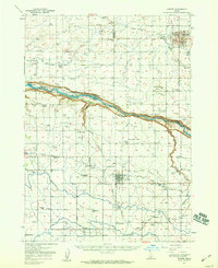
 1958 Twin Falls1958 Print · USGSThe Magic Valley and Snake River Plain are captured here in the late fifties, showcasing a region defined by transformative irrigation projects and desert military ranges. Researchers can trace the Union Pacific rail lines and locate small outlying settlements like Wickahoney, Rogerson, and Hollister.2 unique versions available
 - 1958 Map of Buhl, 1960 Print
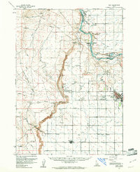
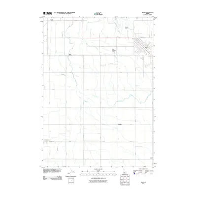
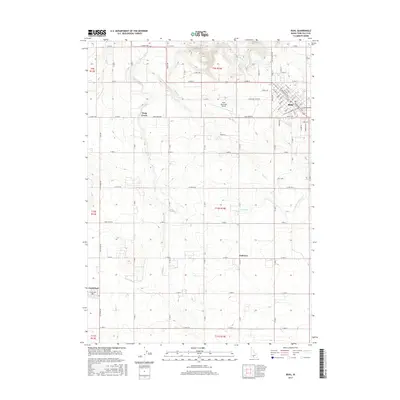
 1958 Buhl1960 Print · USGSThe high desert plains of Twin Falls County are captured here in the late fifties as irrigation and rail infrastructure supported a thriving agricultural community. Genealogists can trace family connections to the Lucerne Grange, St Johns School, and the growing town of Buhl.3 unique versions available
 - 1959 Map of Buhl, 1961 Print
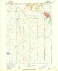
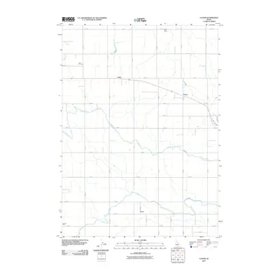
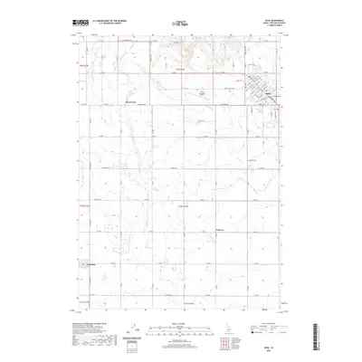
 1959 Buhl1961 Print · USGSThe Magic Valley region of southern Idaho is shown here in the late fifties, defined by the irrigation networks of the Snake River. Genealogists and local historians can locate rural landmarks like the Lucerne Sch and Banbury Natatorium, or trace the development of Buhl and Castleford.2 unique versions available
 - 2010 Map of Clover, 2010 Print
 2010 Clover2010 Print · USGSCovers Buhl, including Filer, Twin Falls County, and other nearby areas
 - 2010 Map of Buhl, 2010 Print
 2010 Buhl2010 Print · USGSCovers Buhl, including Castleford, Twin Falls County, and other nearby areas
 - 2013 Map of Clover, 2013 Print
 2013 Clover2013 Print · USGSCovers Buhl, including Filer, Twin Falls County, and other nearby areas
 - 2013 Map of Buhl, 2013 Print
 2013 Buhl2013 Print · USGSCovers Buhl, including Castleford, Twin Falls County, and other nearby areas
 - 2017 Map of Buhl, 2017 Print
 2017 Buhl2017 Print · USGSCovers Buhl, including Castleford, Twin Falls County, and other nearby areas
 - 2017 Map of Clover, 2017 Print
 2017 Clover2017 Print · USGSCovers Buhl, including Filer, Twin Falls County, and other nearby areas
 - 2020 Map of Clover, 2020 Print
 2020 Clover2020 Print · USGSCovers Buhl, including Filer, Twin Falls County, and other nearby areas
 - 2020 Map of Buhl, 2020 Print
 2020 Buhl2020 Print · USGSCovers Buhl, including Castleford, Twin Falls County, and other nearby areas
 - 2023 Map of Buhl, 2023 Print
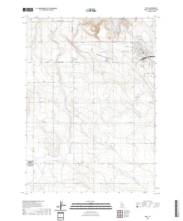 2023 Buhl2023 Print · USGSIdaho's agricultural heartland is captured in this recent survey of Twin Falls County, where irrigation and rugged creek beds meet. Researchers can trace rural landmarks like the Mennonite Cem and Castleford, or locate the Buhl Municipal Airport.
 - 2023 Map of Clover, 2023 Print
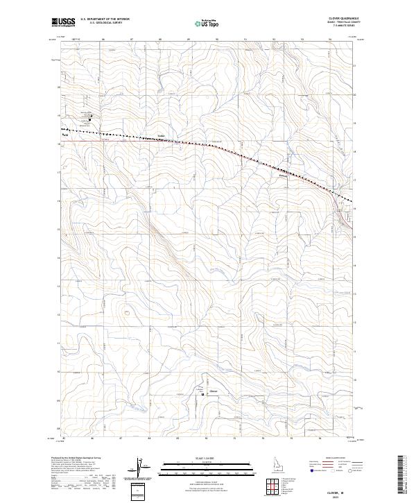 2023 Clover2023 Print · USGSIrrigation and agriculture define the landscape of Twin Falls County in this recent survey. Local historians and genealogists can trace the rural layout of Clover and Peavey or locate family sites near Clover Lutheran Cem and the Snake River Canyon National Cem.
End of results
Showing maps 1-16 of 16
Top cities near Buhl
- Jerome historical maps
- Wendell historical maps
- Filer historical maps
- Hagerman historical maps
- Castleford historical maps
Frequently asked questions
- What are the different types of historical maps available for Buhl?
- What is the oldest map of Buhl?
- Where can I purchase historical maps of Buhl for my home or office?
- Where can I download high-res historical maps of Buhl?
- Are there historical topographic maps available for Buhl?
- Is there historical aerial imagery available for Buhl?
- Where are historical maps of Buhl sourced from?