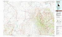
Old Maps of Murtaugh, Idaho for Genealogy
Trace your family roots with 9 historic maps of Murtaugh. These high-res maps reveal old neighborhoods, homesites, landmarks, and streets — helping you uncover where your ancestors lived and how the area evolved over time.
- Explore historic neighborhoods: Identify where your relatives may have lived in the 1800s or 1900s.
- Compare maps over time: Trace the changes in streets, buildings, and landmarks for multi-generational research.
- Perfect for genealogy & ancestry research: Used by family historians and researchers to map out lineage and migration.
These maps are an incredible resource for exploring your personal connection to Murtaugh's past.
Murtaugh, ID maps
(9)- 1955 Map of Twin Falls, 1963 Print
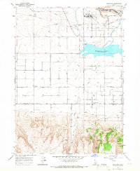
 1955 Twin Falls1963 Print · USGSThe Magic Valley flourished in the mid-1950s as a sophisticated network of irrigation and rail lines connected high-desert outposts. Researchers can trace the engineering of the Milner-Gooding Canal, the remote Murphy Hot Springs, and the Union Pacific rail network.3 unique versions available
 - 1958 Map of Twin Falls
 1958 Twin Falls1958 Print · USGSThe Magic Valley and Snake River Plain are captured here in the late fifties, showcasing a region defined by transformative irrigation projects and desert military ranges. Researchers can trace the Union Pacific rail lines and locate small outlying settlements like Wickahoney, Rogerson, and Hollister.2 unique versions available
 - 1965 Map of Murtaugh, 1966 Print
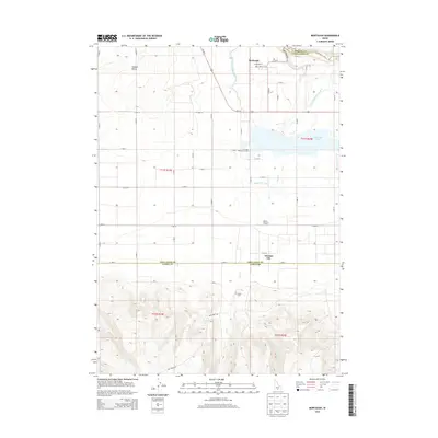
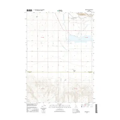
 1965 Murtaugh1966 Print · USGSThe Snake River Plain in the mid-sixties reveals an intensive network of canals and rail lines supporting the agricultural communities of Twin Falls and Cassia counties. Researchers can trace irrigation history and local genealogy through Murtaugh, the Bower Cem, and the rail-side infrastructure of the Union Pacific.2 unique versions available
 - 1992 Map of Rogerson
 1992 Rogerson1992 Print · USGSThe high-desert ranching and forest lands of the Idaho-Nevada border are captured here in the late twentieth century. Trace the old Union Pacific line as it passes through Rogerson and the canyonlands of Salmon Falls Creek.
 - 2010 Map of Murtaugh, 2010 Print
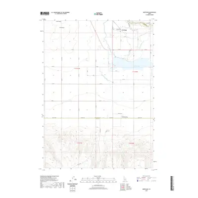
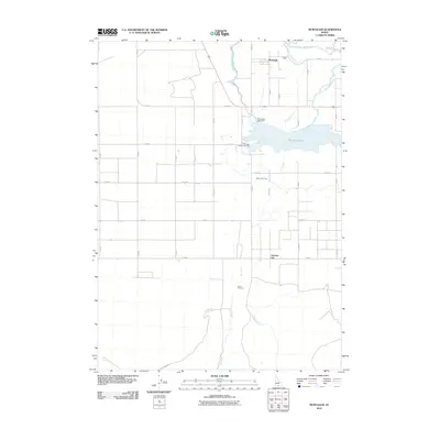 2010 Murtaugh2010 Print · USGSCovers Murtaugh, including Twin Falls County, Cassia County, and other nearby areas
 - 2013 Map of Murtaugh, 2013 Print
 2013 Murtaugh2013 Print · USGSCovers Murtaugh, including Twin Falls County, Cassia County, and other nearby areas
 - 2017 Map of Murtaugh, 2017 Print
 2017 Murtaugh2017 Print · USGSCovers Murtaugh, including Twin Falls County, Cassia County, and other nearby areas
 - 2020 Map of Murtaugh, 2020 Print
 2020 Murtaugh2020 Print · USGSCovers Murtaugh, including Twin Falls County, Cassia County, and other nearby areas
 - 2024 Map of Murtaugh, 2024 Print
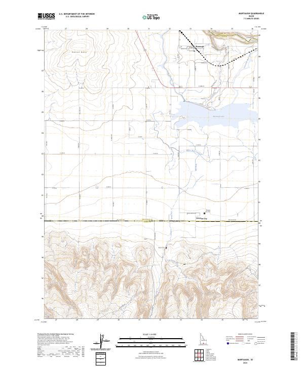 2024 Murtaugh2024 Print · USGSMurtaugh and the surrounding Snake River Plain are captured here in the early twenty-first century, showcasing a region defined by its vital irrigation network. Researchers can trace the paths of the Milner Main Canal and locate historic burial sites such as Artesian City Cem and Bower Cem.
End of results
Showing maps 1-9 of 9
Top cities near Murtaugh
- Twin Falls historical maps
- Kimberly historical maps
- Hansen historical maps
- Hazelton historical maps
- Eden historical maps
Frequently asked questions
- What are the different types of historical maps available for Murtaugh?
- What is the oldest map of Murtaugh?
- Where can I purchase historical maps of Murtaugh for my home or office?
- Where can I download high-res historical maps of Murtaugh?
- Are there historical topographic maps available for Murtaugh?
- Is there historical aerial imagery available for Murtaugh?
- Where are historical maps of Murtaugh sourced from?