Old Maps of Cambridge, Idaho for Academic Research
Study the evolution of Cambridge with 10 high-resolution historic maps. Whether you're teaching, researching, or modeling changes in land use, these maps provide essential visual documentation of urban, environmental, and geographic change.
- Analyze long-term change: Track patterns in development, transportation, and natural features.
- Ideal for environmental or urban studies: Support academic projects with primary historical map data.
- Use in the classroom or lab: Educators and researchers rely on these maps to bring historical context to life.
These maps are a powerful tool for teaching, research, and visualizing how Cambridge has changed over the decades.
Cambridge, ID maps
(10)- 1955 Map of Baker, 1964 Print
 1955 Baker1964 Print · USGSThe Oregon-Idaho borderlands are captured here in the mid-fifties as the Snake River underwent massive changes from dam construction. Trace the Oregon Trail Memorial Monument near Baker, find early mines like Virtue Mine, and follow the Union Pacific Railroad through Huntington.4 unique versions available
 - 1957 Map of Cambridge, 1958 Print
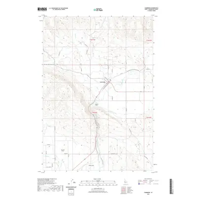
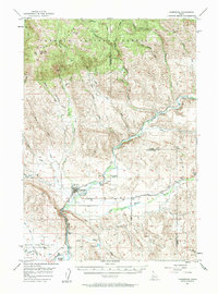 1957 Cambridge1958 Print · USGSThe Weiser River valley in the late fifties shows a rural Idaho landscape defined by cattle country and rail lines. Genealogists and historians can trace the foundations of Middle Valley, Keithly, and the defunct Cove School (Aban'd).2 unique versions available
 - 1959 Map of Baker
 1959 Baker1959 Print · USGSThe Oregon and Idaho borderlands come alive in the late fifties, showing the rugged corridor along the Snake River and the high peaks of the Wallowa Mountains. Researchers can trace the legacy of the Union Pacific railroad or locate historic mining sites like the Flagstaff Mine and Virtue Mine.2 unique versions available
 - 1980 Map of McCall, 1993 Print
 1980 McCall1993 Print · USGSThe high timber country and glacial lakes of the West Mountains are documented here in the early eighties. Genealogists and local historians can trace the Union Pacific rail line and family-linked sites like Roseberry, Starkey, and the North Hornet Mine.2 unique versions available
 - 1986 Map of Cambridge
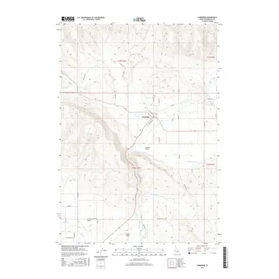
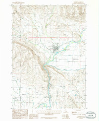 1986 Cambridge1986 Print · USGSThe town of Cambridge and the surrounding agricultural valleys are captured here in the mid-eighties as they appeared before modern expansion. Researchers can trace the irrigation network of the Middle Valley Canal and locate local landmarks like the Fairground and Keithly.
 - 2010 Map of Cambridge, 2010 Print
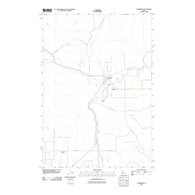 2010 Cambridge2010 Print · USGSCovers Cambridge, including Washington County, United States, and other nearby areas
 - 2013 Map of Cambridge, 2013 Print
 2013 Cambridge2013 Print · USGSCovers Cambridge, including Washington County, United States, and other nearby areas
 - 2017 Map of Cambridge, 2017 Print
 2017 Cambridge2017 Print · USGSCovers Cambridge, including Washington County, United States, and other nearby areas
 - 2020 Map of Cambridge, 2020 Print
 2020 Cambridge2020 Print · USGSCovers Cambridge, including Washington County, United States, and other nearby areas
 - 2024 Map of Cambridge, 2024 Print
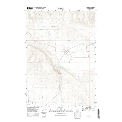
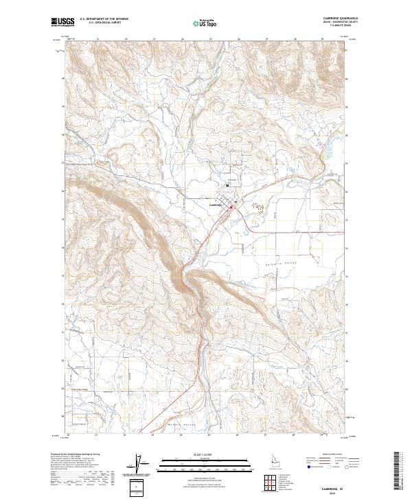 2024 Cambridge2024 Print · USGSCambridge and the surrounding Washington County ranchlands are captured here in the 2020s, showing the enduring agricultural character of the Salubria Valley. Researchers can trace family history at Cambridge Cem or follow the historic rail corridor along the Weiser River National Recreation Trl.
End of results
Showing maps 1-10 of 10
Top cities near Cambridge
Frequently asked questions
- What are the different types of historical maps available for Cambridge?
- What is the oldest map of Cambridge?
- Where can I purchase historical maps of Cambridge for my home or office?
- Where can I download high-res historical maps of Cambridge?
- Are there historical topographic maps available for Cambridge?
- Is there historical aerial imagery available for Cambridge?
- Where are historical maps of Cambridge sourced from?