Old Maps of Payson, Illinois for Academic Research
Study the evolution of Payson with 21 high-resolution historic maps. Whether you're teaching, researching, or modeling changes in land use, these maps provide essential visual documentation of urban, environmental, and geographic change.
- Analyze long-term change: Track patterns in development, transportation, and natural features.
- Ideal for environmental or urban studies: Support academic projects with primary historical map data.
- Use in the classroom or lab: Educators and researchers rely on these maps to bring historical context to life.
These maps are a powerful tool for teaching, research, and visualizing how Payson has changed over the decades.
Payson, IL maps
(21)- 1925 Map of Quincy
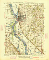
 1925 Quincy1925 Print · USGSQuincy and its Mississippi River hinterlands are captured in the mid-1920s, showing a landscape defined by river navigation and rail transport. Genealogists can locate dozens of country schools and churches, from St Ludgerus School to Zion Church and the Soldiers Home.2 unique versions available
 - 1925 Map of Liberty, 1972 Print
 1925 Liberty1972 Print · USGSWestern Illinois in the 1920s was a landscape of tightly knit farming communities and country crossroads. Genealogists and researchers can trace family roots through dozens of local landmarks like St Joseph School, Mt Pleasant Church, and the village of Plainville.
 - 1927 Map of Liberty
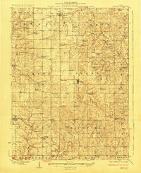 1927 Liberty1927 Print · USGSAdams County’s rural townships are captured here during the mid-1920s, showing a landscape of small agricultural settlements and tight-knit communities. Family historians can locate dozens of country schools and churches, including Seigel School, Tandy School, and Pleasant Grove Church.2 unique versions available
 - 1944 Map of Quincy, 1954 Print
 1944 Quincy1954 Print · USGSQuincy and the Mississippi River valley are captured in the 1940s, showing a landscape defined by rail lines and rural parish schools. Researchers can trace the riverfront at Marion City, the grounds of the Soldiers Home, and historic sites like Zion Church.5 unique versions available
 - 1945 Map of Quincy
 1945 Quincy1945 Print · USGSQuincy and its Mississippi River crossings are captured here in the mid-1940s during a period of transition for its riverfront and rail lines. Genealogists can trace family roots at local landmarks like the Soldiers Home, Melrose Chapel, and numerous rural schoolhouses such as Hickory Grove School.2 unique versions available
 - 1948 Map of Quincy
 1948 Quincy1948 Print · USGSThe Mississippi and Illinois River valleys are captured at a post-war crossroads as rail and river travel met the expanding highway system. Genealogists can trace family settlements from Quincy to Hannibal and smaller towns like Vandalia and Jerseyville.2 unique versions available
 - 1956 Map of Quincy, 1967 Print
 1956 Quincy1967 Print · USGSThe river and rail corridors of the Illinois-Missouri border are documented here during the mid-1950s. Researchers can trace historic river landings and regional transit hubs from Quincy and Hannibal to smaller settlements like Meredosia and Roodhouse.3 unique versions available
 - 1971 Map of Marblehead, 1973 Print
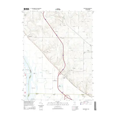
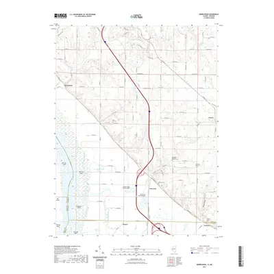
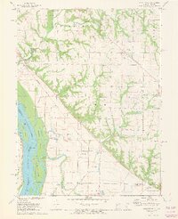 1971 Marblehead1973 Print · USGSThe Illinois riverfront south of Quincy was a landscape of managed floodplains and scattered settlements in the early 1970s. Trace family history at Craigtown Cem or follow the old Burlington Northern line through Marblehead and Bluff Hall.2 unique versions available
 - 1981 Map of Payson
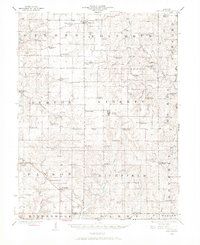
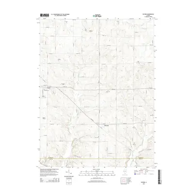
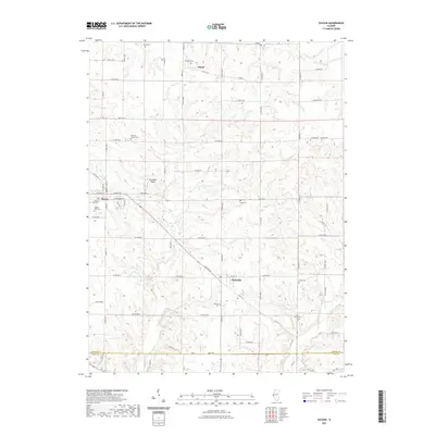
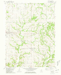 1981 Payson1981 Print · USGSSouthern Adams County in the early eighties reveals a landscape of wooded creek valleys and prairie farmsteads. Researchers can trace numerous local burial sites like Steward Cem and New Town Cem or locate rural landmarks such as the Krutmeier Landing Strip.
 - 1986 Map of Quincy
 1986 Quincy1986 Print · USGSThe tri-state border region along the Mississippi River comes into focus during the mid-1980s. Researchers can trace the legacy of river towns and rail hubs like Quincy and Monroe City or locate landmarks such as Mount Olive Cem.2 unique versions available
 - 1996 Map of Marblehead, 1998 Print
 1996 Marblehead1998 Print · USGSThe Mississippi River bottomlands of Adams and Pike Counties are shown here in the 1990s as a landscape of levees and industrial quarries. Genealogists can trace family landmarks like Craigtown Cem and Bluff Hall while exploring the shifting banks of Schaffer Island.
 - 2012 Map of Marblehead, 2012 Print
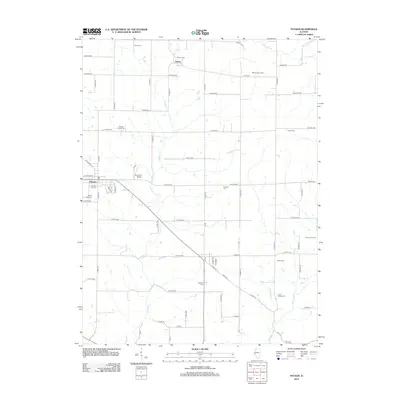
 2012 Marblehead2012 Print · USGSCovers Payson, including Fall Creek, Seehorn, and other nearby areas
 - 2012 Map of Payson, 2012 Print
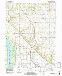
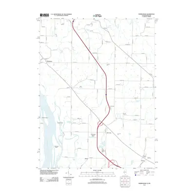
 2012 Payson2012 Print · USGSCovers Payson, including Plainville, Adams, and other nearby areas
 - 2015 Map of Payson, 2015 Print
 2015 Payson2015 Print · USGSCovers Payson, including Plainville, Adams, and other nearby areas
 - 2015 Map of Marblehead, 2015 Print
 2015 Marblehead2015 Print · USGSCovers Payson, including Fall Creek, Seehorn, and other nearby areas
 - 2018 Map of Payson, 2018 Print
 2018 Payson2018 Print · USGSCovers Payson, including Plainville, Adams, and other nearby areas
 - 2018 Map of Marblehead, 2018 Print
 2018 Marblehead2018 Print · USGSCovers Payson, including Fall Creek, Seehorn, and other nearby areas
 - 2021 Map of Payson, 2021 Print
 2021 Payson2021 Print · USGSCovers Payson, including Plainville, Adams, and other nearby areas
 - 2021 Map of Marblehead, 2021 Print
 2021 Marblehead2021 Print · USGSCovers Payson, including Fall Creek, Seehorn, and other nearby areas
 - 2024 Map of Payson, 2024 Print
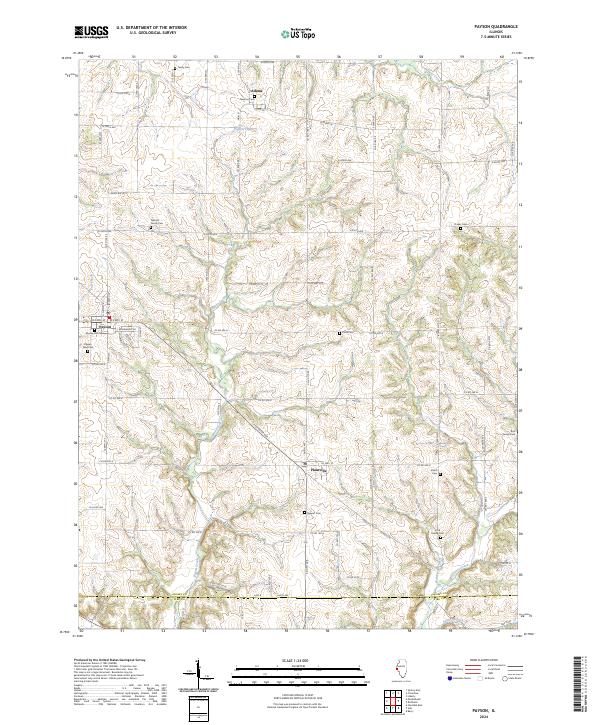 2024 Payson2024 Print · USGSWestern Illinois farm country is shown here in the contemporary era, centered on the grid-patterned townships south of Quincy. Researchers can locate numerous small burial sites like Nichols Family Cem, Shiloh Cem, and Stewart Cem scattered among the rural roads.
 - 2024 Map of Marblehead, 2024 Print
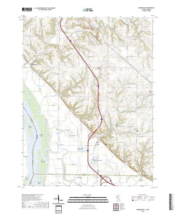 2024 Marblehead2024 Print · USGSThe eastern banks of the Mississippi River in Adams County are captured here in the early twenty-first century. Genealogists and historians can trace family roots at the Newmaw Family Cem or locate old community hubs like Bluff Hall-Gem and Fall Creek.
End of results
Showing maps 1-21 of 21
Top cities near Payson
- Quincy historical maps
- Hannibal historical maps
- Barry historical maps
- Camp Point historical maps
- New London historical maps
- Burton historical maps
See more
Frequently asked questions
- What are the different types of historical maps available for Payson?
- What is the oldest map of Payson?
- Where can I purchase historical maps of Payson for my home or office?
- Where can I download high-res historical maps of Payson?
- Are there historical topographic maps available for Payson?
- Is there historical aerial imagery available for Payson?
- Where are historical maps of Payson sourced from?