Old Maps of Old Ripley, Illinois
Explore 11 old maps of Old Ripley, spanning from 1937 to today. These high-resolution historic maps reveal how streets, neighborhoods, landmarks, and natural features evolved over time — perfect for genealogy, metal detecting, research, and local history exploration.
What you can do with these maps:
- See how Old Ripley changed over time: Compare historical maps to modern-day views to trace roads, homesites, rail lines & more.
- View detailed metadata: Each map includes creators, publishers, year, scale, and archive source.
- Overlay maps with satellite & LiDAR: Visualize the past alongside modern tools to explore terrain & human change.
- Trusted historical sources: Maps sourced from the USGS, Library of Congress, and other archives.
- Access maps your way: View online, download high-res files, or order prints for personal or research use.
Start exploring old maps of Old Ripley to uncover forgotten places, hidden landmarks, and the deep history beneath your feet.
Old Ripley, IL maps
(11)- 1937 Map of New Douglas
 1937 New Douglas1937 Print · USGSMadison and Bond counties are seen here in the late 1930s, showing a high density of rural schools and family cemeteries. Researchers can trace the grounds of Mt Calvary Sch, locate the St Vincent Cem, or follow the Shoal Creek bottomlands.2 unique versions available
 - 1944 Map of New Douglas
 1944 New Douglas1944 Print · USGSMadison and Bond Counties are seen here during the mid-1930s, showing a well-established network of prairie farming communities and rail lines. Genealogists can locate dozens of named rural schools and cemeteries, from St Vincent Cem to the Hedgebound Sch and the village of Grantfork.2 unique versions available
 - 1958 Map of Belleville, 1973 Print
 1958 Belleville1973 Print · USGSSouthern Illinois during the mid-twentieth century reveals a landscape of industrial growth and massive new reservoirs. Genealogists and historians can trace the paths of the Illinois Central RR through towns like Centralia or locate landmarks such as Emerald Mound and the Looking Glass Prairie.3 unique versions available
 - 1962 Map of Belleville
 1962 Belleville1962 Print · USGSSouthern Illinois in the late fifties reveals a landscape of industrial growth and ancient landmarks before the full expansion of the interstate system. Genealogists can trace family names and rural post offices near Centralia, Salem, and the historic Monks Mound.
 - 1974 Map of Sorento South, 1977 Print
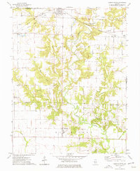 1974 Sorento South1977 Print · USGSBond and Montgomery Counties come into focus during the mid-1970s, showing a landscape defined by meandering creeks and small farming hubs. Genealogists and historians can trace family ties at Sunny Side Cem, Mt Nebo Ch, and the rural settlement of Old Ripley.
 - 1985 Map of Carlyle Lake
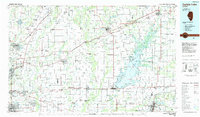 1985 Carlyle Lake1985 Print · USGSSouthwestern Illinois in the mid-eighties shows a landscape of growing commuter suburbs and massive water management projects. Genealogists and historians can locate family plots at Lakeview Memorial Gardens Cem or trace the early footprint of Southern Illinois Univ (Edwardsville).2 unique versions available
 - 2012 Map of Sorento South, 2012 Print
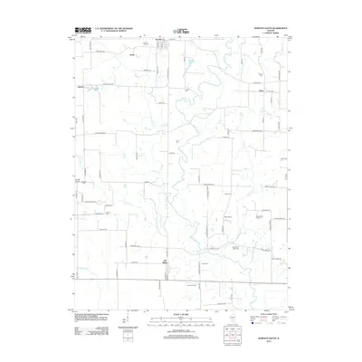 2012 Sorento South2012 Print · USGSBond County settlements and family cemeteries are documented here in the early twenty-first century. Genealogists and local historians can locate ancestors at Sunny Side Cemetery and trace the paths of Shoal Creek through Old Ripley.
 - 2015 Map of Sorento South, 2015 Print
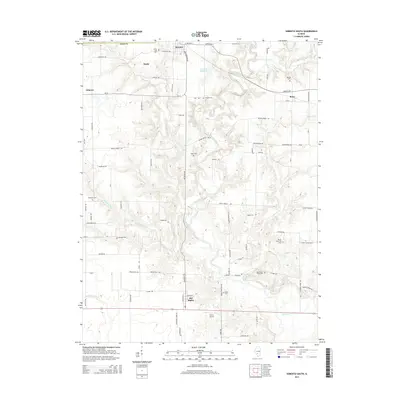 2015 Sorento South2015 Print · USGSBond County's rural character is preserved in this mid-2010s survey, showing the agricultural landscape between the villages of Sorento and Old Ripley. Researchers can trace local heritage through numerous burial sites like Bethel Cem and Coyle Cem, or locate landmarks such as Nance Airport.
 - 2018 Map of Sorento South, 2018 Print
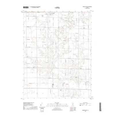 2018 Sorento South2018 Print · USGSBond County in the late twenty-teens maintains its traditional rural character between the established villages of Sorento and Old Ripley. Researchers can trace local heritage through numerous burial sites like Peterson Cem and Mitchell Cem or follow the waters of Shoal Creek.
 - 2021 Map of Sorento South, 2021 Print
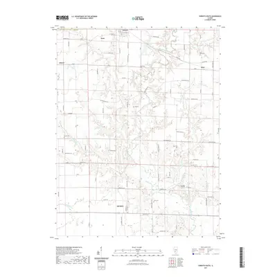 2021 Sorento South2021 Print · USGSBond County's rural character is preserved in this contemporary survey of the Illinois prairie. Family historians can trace numerous burial sites like Wade Cem and Coyle Cem near the settlements of Old Ripley and Bunje.
 - 2024 Map of Sorento South, 2024 Print
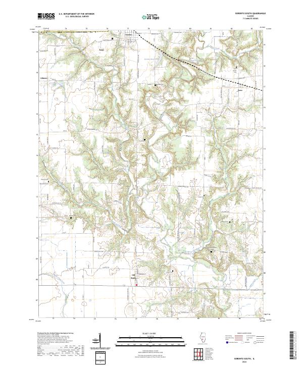 2024 Sorento South2024 Print · USGSBond County's rural landscape is documented here in the early twenty-first century, showing a network of small villages and farming communities. Genealogists can locate numerous burial sites across the creek valleys, including Sunny Side Cem, Bethel Cem, and Wade Cem.
End of results
Showing maps 1-11 of 11
Top cities near Old Ripley
- Highland historical maps
- Greenville historical maps
- Staunton historical maps
- Mount Olive historical maps
- Benld historical maps
- Marine historical maps
See more
Frequently asked questions
- What are the different types of historical maps available for Old Ripley?
- What is the oldest map of Old Ripley?
- Where can I purchase historical maps of Old Ripley for my home or office?
- Where can I download high-res historical maps of Old Ripley?
- Are there historical topographic maps available for Old Ripley?
- Is there historical aerial imagery available for Old Ripley?
- Where are historical maps of Old Ripley sourced from?