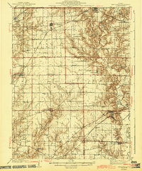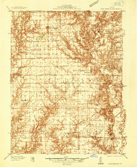
1937 Map of New Douglas
USGS Topo · Published 1937About this map
New Douglas and Sorento anchor a landscape defined by small farming hamlets and a dense network of country schools during the late 1930s. This survey, conducted by engineers including Glenn S. Smith, reveals a rural society built around local education, with dozens of family and community schools such as Hickory Grove Sch, Wider Range Sch, and Steinkoenig Sch scattered across the township lines. The topography is split by the meandering Shoal Creek and its tributaries, which dictate the winding paths of rural roads away from the straight tracks of the St Louis and Chicago New York railroad line.
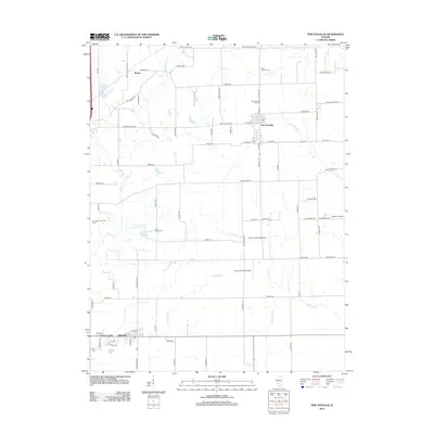
Find a feature on this map
70 named features on this map. Tap any name to fly to it.
Don’t see what you’re looking for? This feature index may not catch every label — zoom into the map to look around manually.
Map Details
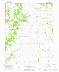
Editions of this 1937 New Douglas Map
2 editions found

Historical Maps of Highland Through Time
8 maps found