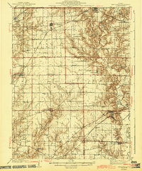
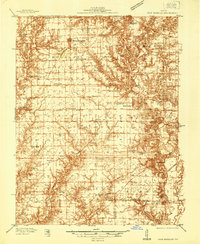
1937 Map of New Douglas
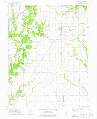
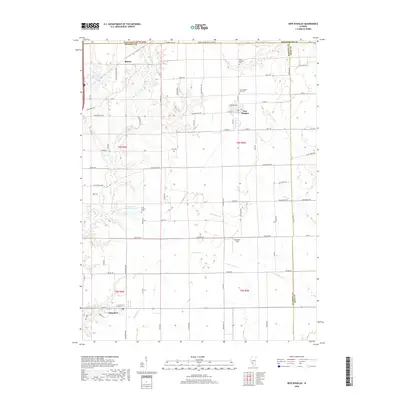
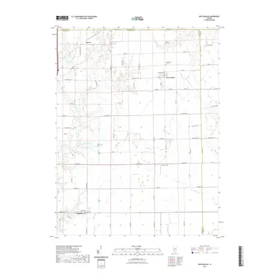
USGS Topo · Published 1969About this map
The agricultural landscape of Madison, Bond, and Montgomery counties is meticulously documented in this late-1930s survey. Significant rural hubs like Sorento, Pocahontas, and New Douglas anchor a network of rail and road, with the St Louis and Chicago and Pennsylvania lines providing vital transportation arteries through the region. The map reveals an exceptionally dense system of one-room country schools, including Hedgebound Sch, Pleasant Hill Sch, and Pin Oak Sch, illustrating the dispersed community structure of the Illinois prairie before school consolidation.
Find a feature on this map
78 named features on this map. Tap any name to fly to it.
Don’t see what you’re looking for? This feature index may not catch every label — zoom into the map to look around manually.
Map Details
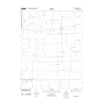
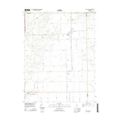
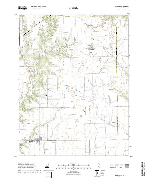
Editions of this 1937 New Douglas Map
2 editions found
Historical Maps of Highland Through Time
8 maps found