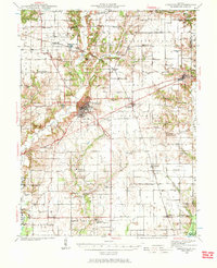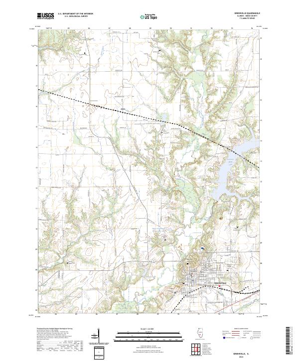
1932 Map of Greenville
USGS Topo · Published 1932About this map
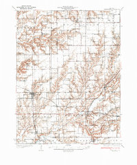
Greenfield serves as a central hub in this early 1930s landscape, where the Chicago and Alton and Burlington and Quincy railroads intersect. The region is defined by a dense network of rural infrastructure, featuring dozens of one-room schoolhouses like Richwood Sch and Victory Sch, alongside numerous country churches such as Mt Moriah Ch. These landmarks, paired with family cemeteries like Rhodes Cem and Stultz Cem, provide a clear picture of the settled agrarian townships across Greene, Macoupin, and Jersey counties.
Find a feature on this map
98 named features on this map. Tap any name to fly to it.
Don’t see what you’re looking for? This feature index may not catch every label — zoom into the map to look around manually.
Map Details
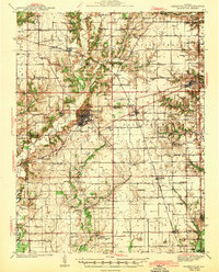
Editions of this 1932 Greenville Map
This is the sole edition of this map. No revisions or reprints were ever made.
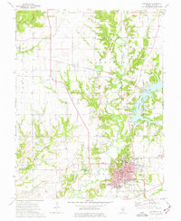
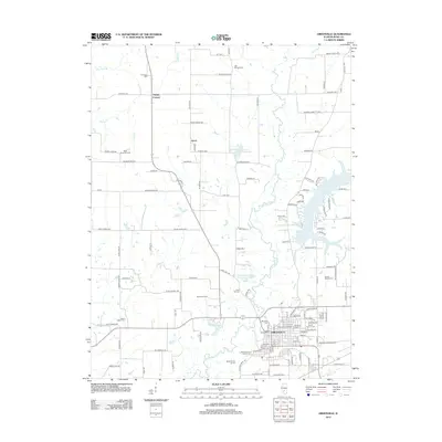
Historical Maps of Greenville Through Time
9 maps found