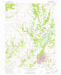
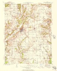
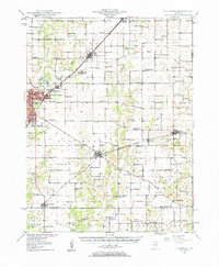
1974 Map of Greenville
USGS Topo · Published 1977About this map
The county seat of Bond County serves as the focal point of this mid-1970s topographic study, showcasing the established campus of Greenville College and the surrounding residential grid. The landscape is defined by the convergence of several waterways, most notably the expansive Governor Bond Lake and the winding Shoal Creek, which cut through the agricultural surroundings of the La Grange and Central townships. The town's social and institutional infrastructure is densely mapped, featuring the Courthouse, a Hospital, and several distinct burial grounds including Montrose Cemetery and Mt Auburn Cemetery.
Find a feature on this map
42 named features on this map. Tap any name to fly to it.
Don’t see what you’re looking for? This feature index may not catch every label — zoom into the map to look around manually.
Map Details
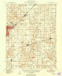
Editions of this 1974 Greenville Map
This is the sole edition of this map. No revisions or reprints were ever made.
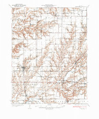
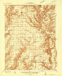
Other maps of this area
1915 · Mount Olive
USGS Topo · 1:62,500
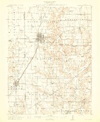
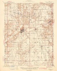
1932 · Greenville
USGS Topo · 1:62,500
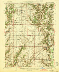
1937 · New Douglas
USGS Topo · 1:48,000
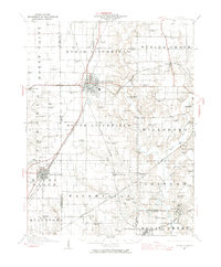
1939 · Greenville
USGS Topo · 1:62,500
1943 · Greenville
USGS Topo · 1:62,500
1944 · New Douglas
USGS Topo · 1:62,500
1944 · Mount Olive
USGS Topo · 1:62,500
1947 · Hillsboro
USGS Topo · 1:62,500
1949 · Hillsboro
USGS Topo · 1:62,500

1958 · Decatur
USGS Topo · 1:250,000