1970s Maps of Boone County, Illinois
Explore 6 historic maps of Boone County from the 1970s. These maps offer a rare glimpse into what life looked like during the 1970s — showing old roads, neighborhoods, homes, and landmarks that have changed or disappeared over time.
Whether you're researching your family's past, planning a metal detecting trip, or studying how Boone County's landscape evolved across the 1970s, these high-resolution maps are a powerful tool for exploring the history of this region.
- Focus on a specific era: All maps on this page are from the 1970s, giving you a focused view of this time period.
- See what’s changed: Compare century-old streets, trails, and buildings to today's modern landscape using overlays and satellite layers.
- Research with precision: Use these maps for genealogy, historical research, land use analysis, or educational projects.
- View, download, or print: Maps are fully viewable online in high resolution, and can be downloaded or printed for your own records.
Start exploring Boone County's history through authentic maps from the 1970s. This is your window into the past.
Boone County, IL maps
(6)- 1970 Map of Belvidere North, 1972 Print
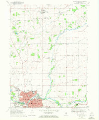 1970 Belvidere North1972 Print · USGSBoone County in the early seventies shows a landscape where the growing city of Belvidere meets the agricultural North. Researchers can trace family history through numerous rural burial grounds like Popular Grove Cem or locate community hubs like Grange Hall.3 unique versions available
 - 1970 Map of Capron, 1972 Print
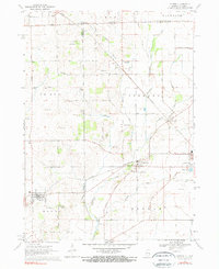 1970 Capron1972 Print · USGSThe Illinois-Wisconsin borderlands are captured here in the early seventies, showing a landscape of established farmsteads and rail-linked villages. Genealogists can locate family sites at Burr Oak Cem, Chester Cem, or the rural community of Lawrence.3 unique versions available
 - 1970 Map of Caledonia, 1972 Print
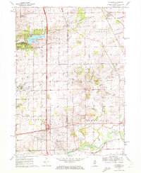 1970 Caledonia1972 Print · USGSCaledonia and the northern outskirts of Rockford are captured in the early 1970s as suburban growth met rural prairie. Genealogists can locate Guilford Union Cem, Orth Cem, and Bell Sch among the family-named roads and gravel works.2 unique versions available
 - 1970 Map of Belvidere NE, 1972 Print
 1970 Belvidere NE1972 Print · USGSBoone County farmers and rural residents at the start of the 1970s occupied a landscape of straight section roads and winding prairie creeks. Genealogists can trace family footprints at Stone School Cem or the old settlement at Beaverton Crossroads.
 - 1970 Map of Belvidere NW, 1972 Print
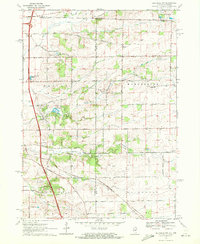 1970 Belvidere NW1972 Print · USGSBoone and Winnebago counties at the turn of the 1970s reveal a landscape of productive farmsteads and growing transit corridors. Genealogists and local historians can trace family-named sites like Bamblett Cem, Livingston School, and the Ida-Belle Farm Landing Strip.2 unique versions available
 - 1970 Map of Garden Prairie, 1972 Print
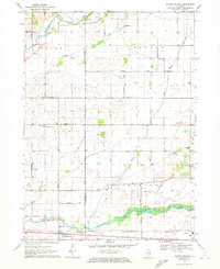 1970 Garden Prairie1972 Print · USGSThe rural borderlands of Boone and McHenry counties are documented here in the early seventies. Genealogists and historians can trace family locations through several burial sites like Stone School Cemetery and local landmarks such as Kishwaukee School and Geryune.
End of results
Showing maps 1-6 of 6
Top cities of Boone County
Frequently asked questions
- What are the different types of historical maps available for Boone County?
- What is the oldest map of Boone County?
- Where can I purchase historical maps of Boone County for my home or office?
- Where can I download high-res historical maps of Boone County?
- Are there historical topographic maps available for Boone County?
- Is there historical aerial imagery available for Boone County?
- Where are historical maps of Boone County sourced from?