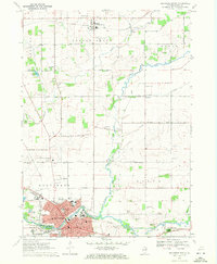
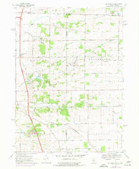
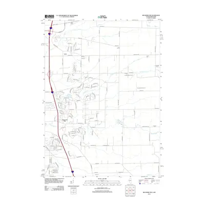
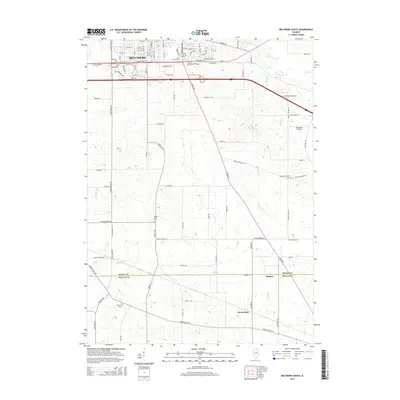
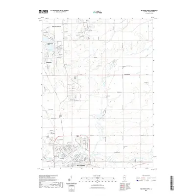
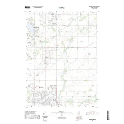
1970 Map of Belvidere North
USGS Topo · Published 1972About this map
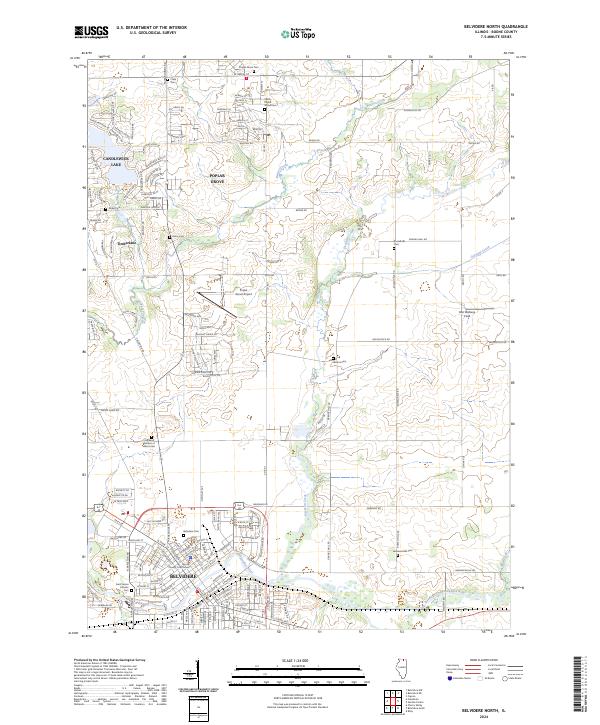
Belvidere serves as the industrial and civic anchor of this 1970 landscape, where the Kishwaukee River flows past the Fairground and several local schools like St James Sch and Logan Sch. To the north, the terrain transitions into a grid of agricultural roads and scattered settlements, including the village of Poplar Grove. This area is defined by its drainage network, with Piscasaw Creek and Beaver Creek carving through the prairie soil.
Find a feature on this map
63 named features on this map. Tap any name to fly to it.
Don’t see what you’re looking for? This feature index may not catch every label — zoom into the map to look around manually.
Map Details
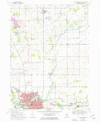
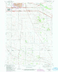
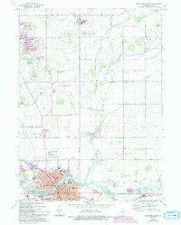
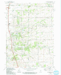
Editions of this 1970 Belvidere North Map
3 editions found
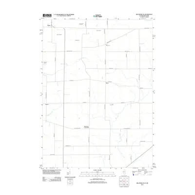
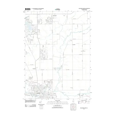
Historical Maps of Belvidere Through Time
26 maps found
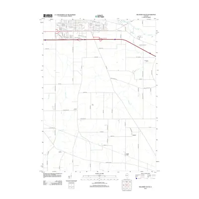
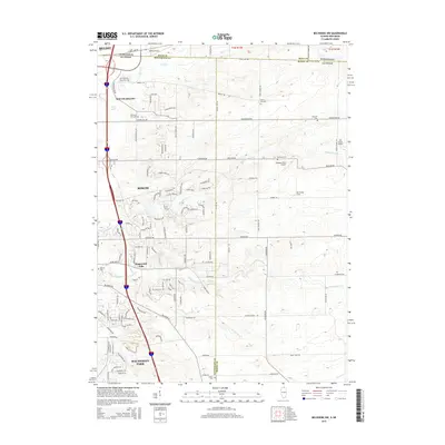
1968 Belvidere South
Boone County, IL

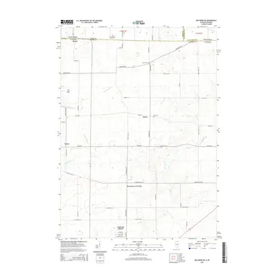
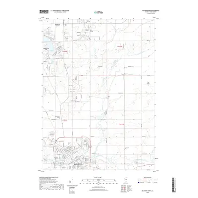
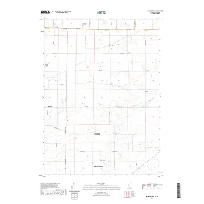
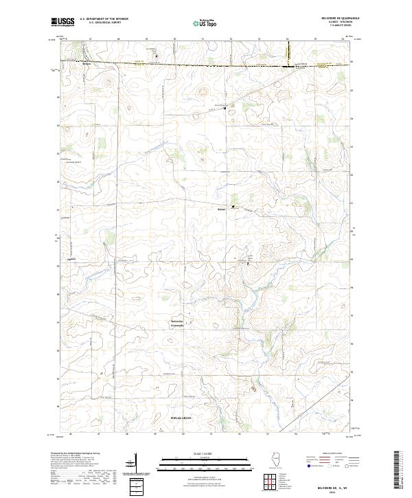
1970 Belvidere NE
Boone County, IL
1970 Belvidere North
Boone County, IL
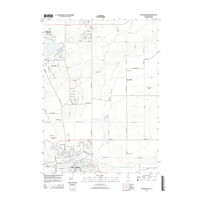
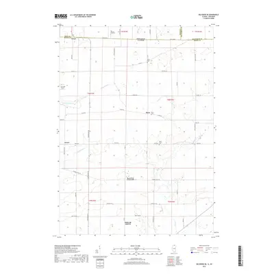
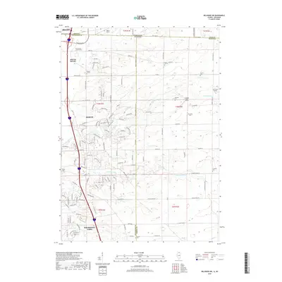
1970 Belvidere NW
Boone County, IL
1993 Belvidere NW
Boone County, IL
2012 Belvidere NE
Boone County, IL
2012 Belvidere North
Boone County, IL
2012 Belvidere NW
Boone County, IL
2012 Belvidere South
Boone County, IL
2015 Belvidere NE
Boone County, IL
2015 Belvidere North
Boone County, IL
2015 Belvidere NW
Boone County, IL
2015 Belvidere South
Boone County, IL
2018 Belvidere NE
Boone County, IL
2018 Belvidere North
Boone County, IL
2018 Belvidere NW
Boone County, IL
2018 Belvidere South
Boone County, IL
2021 Belvidere NE
Boone County, IL
2021 Belvidere North
Boone County, IL
2021 Belvidere NW
Boone County, IL
2021 Belvidere South
Boone County, IL
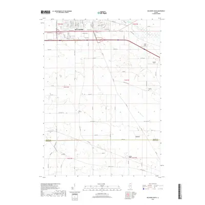
2023 Belvidere North
Boone County, IL
2024 Belvidere NE
Boone County, IL
2024 Belvidere North
Boone County, IL
2024 Belvidere NW
Boone County, IL
2024 Belvidere South
Boone County, IL
Featured Locations
- Caledonia Township, IL
- Poplar Grove, IL
- Timberlane, IL
- Belvidere Township, IL
- Belvidere, Belvidere Township