Old Maps of Mound Station, Illinois
Explore 21 old maps of Mound Station, spanning from 1946 to today. These high-resolution historic maps reveal how streets, neighborhoods, landmarks, and natural features evolved over time — perfect for genealogy, metal detecting, research, and local history exploration.
What you can do with these maps:
- See how Mound Station changed over time: Compare historical maps to modern-day views to trace roads, homesites, rail lines & more.
- View detailed metadata: Each map includes creators, publishers, year, scale, and archive source.
- Overlay maps with satellite & LiDAR: Visualize the past alongside modern tools to explore terrain & human change.
- Trusted historical sources: Maps sourced from the USGS, Library of Congress, and other archives.
- Access maps your way: View online, download high-res files, or order prints for personal or research use.
Start exploring old maps of Mound Station to uncover forgotten places, hidden landmarks, and the deep history beneath your feet.
Mound Station, IL maps
(21)- 1946 Map of Augusta, 1957 Print
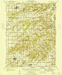
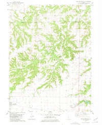
 1946 Augusta1957 Print · USGSWestern Illinois farm country at the end of the 1940s is detailed here as the rail-and-river economy transitions. Genealogists can trace family names at Sherwood Cem and Woodland Cem, or locate rural landmarks like Mt Horeb Ch and Timewell PO.2 unique versions available
 - 1949 Map of Augusta
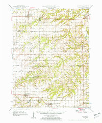
 1949 Augusta1949 Print · USGSWestern Illinois at the end of the 1940s reveals a landscape of tight-knit rural communities and school districts. Genealogists can trace family footprints across dozens of local landmarks like Sulphur Springs Sch, Woodland Cem, and Mound Station Timewell PO.
 - 1958 Map of Burlington, 1968 Print
 1958 Burlington1968 Print · USGSThe tri-state river country of Iowa, Illinois, and Missouri is captured here in the mid-fifties, dominated by the Mississippi River and major rail lines. Genealogists and historians can trace the development of river towns like Keokuk or locate the sprawling Iowa Army Ammunition Plant.4 unique versions available
 - 1961 Map of Burlington
 1961 Burlington1961 Print · USGSThe tri-state borderlands along the Mississippi River are captured here during the late fifties and early sixties, showing the vital river-and-rail economy of Iowa, Illinois, and Missouri. Genealogists and historians can trace the development of major hubs like Galesburg and Macomb alongside landmark sites such as the Iowa Ordnance Plant and the historic river town of Nauvoo.
 - 1963 Map of Burlington
 1963 Burlington1963 Print · USGSThe tri-state river country of the Mississippi and Illinois valleys comes alive in this mid-century survey. Genealogists and historians can trace the industrial and academic growth of the region, from the Iowa Ordnance Plant to campuses like Knox College and Western Illinois University.
 - 1975 Map of Augusta SW, 1976 Print
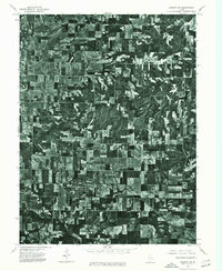 1975 Augusta SW1976 Print · USGSEastern Adams County is captured in mid-1970s aerial detail, revealing the precise layout of agricultural fields and rural roads. Genealogists and researchers can trace the specific footprints of farmsteads and the street grids of Clayton and Timewell.
 - 1981 Map of Clayton
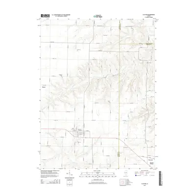
 1981 Clayton1981 Print · USGSWestern Illinois farm country and the village of Clayton are captured here in the early eighties. Researchers can locate numerous family burial grounds including Knight Cem and Howe Cem, or trace the rail-era footprint of Timewell (Mound Station).
 - 1981 Map of Lake Mt. Sterling
 1981 Lake Mt. Sterling1981 Print · USGSWestern Illinois farm and timberlands are captured here in the early 1980s as rural life centered around small creek-side settlements. Researchers can locate numerous family burial sites like Sims Cem and trace the local impact of Lake Mt Sterling.
 - 1985 Map of Macomb
 1985 Macomb1985 Print · USGSWest Central Illinois in the mid-eighties shows a robust network of river towns and rail corridors spanning from the Illinois River to the Lamoine. Genealogists and historians can trace the foundations of Macomb, find rural landmarks like Pennington Point, or locate early conservation sites like Argyle Lake State Park.
 - 1989 Map of Macomb
 1989 Macomb1989 Print · USGSWest Central Illinois in the late eighties shows a landscape of river-bottom conservation and rail-town commerce. Researchers can trace the extensive wetlands of the Illinois River or locate historic transport hubs in Macomb, Colchester, and Beardstown.
 - 1990 Map of Burlington
 1990 Burlington1990 Print · USGSThe tri-state confluence of Iowa, Illinois, and Missouri is mapped here at the end of the twentieth century. Genealogists and historians can trace the riverfront heritage of Burlington, Keokuk, and Fort Madison, or locate sites like the Battle of Athens State Historic Site.2 unique versions available
 - 2012 Map of Lake Mount Sterling, 2012 Print
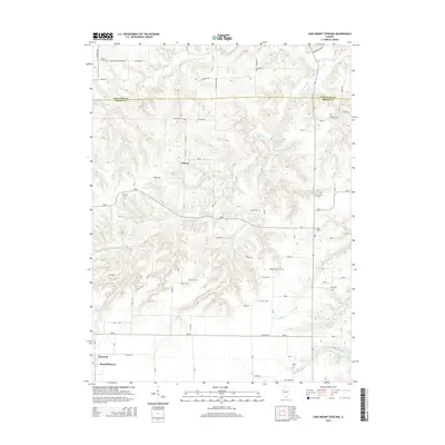
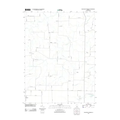 2012 Lake Mount Sterling2012 Print · USGSCovers Mound Station, including Damon, Timewell, and other nearby areas
 - 2012 Map of Clayton, 2012 Print
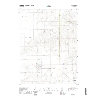
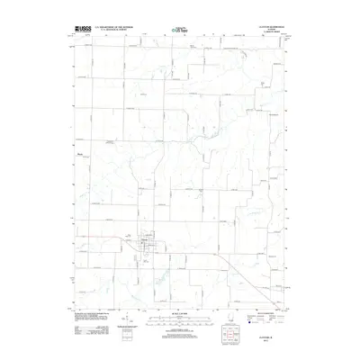 2012 Clayton2012 Print · USGSCovers Mound Station, including Clayton, Blacks, and other nearby areas
 - 2015 Map of Clayton, 2015 Print
 2015 Clayton2015 Print · USGSCovers Mound Station, including Clayton, Blacks, and other nearby areas
 - 2015 Map of Lake Mount Sterling, 2015 Print
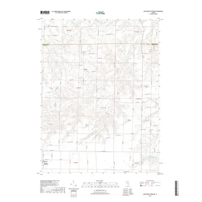
 2015 Lake Mount Sterling2015 Print · USGSCovers Mound Station, including Damon, Timewell, and other nearby areas
 - 2018 Map of Clayton, 2018 Print
 2018 Clayton2018 Print · USGSCovers Mound Station, including Clayton, Blacks, and other nearby areas
 - 2018 Map of Lake Mount Sterling, 2018 Print
 2018 Lake Mount Sterling2018 Print · USGSCovers Mound Station, including Damon, Timewell, and other nearby areas
 - 2021 Map of Lake Mount Sterling, 2021 Print
 2021 Lake Mount Sterling2021 Print · USGSCovers Mound Station, including Damon, Timewell, and other nearby areas
 - 2021 Map of Clayton, 2021 Print
 2021 Clayton2021 Print · USGSCovers Mound Station, including Clayton, Blacks, and other nearby areas
 - 2024 Map of Lake Mount Sterling, 2024 Print
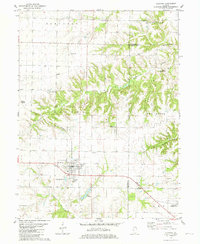
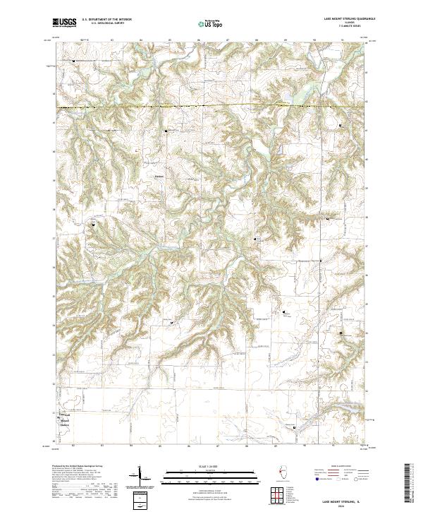 2024 Lake Mount Sterling2024 Print · USGSBrown and Schuyler counties come together in this modern survey of Illinois’ rural heartland. Genealogists can trace family heritage through numerous remote sites including Simms Cem, Miller Land Cem, and the namesake Lake Mount Sterling.
 - 2024 Map of Clayton, 2024 Print
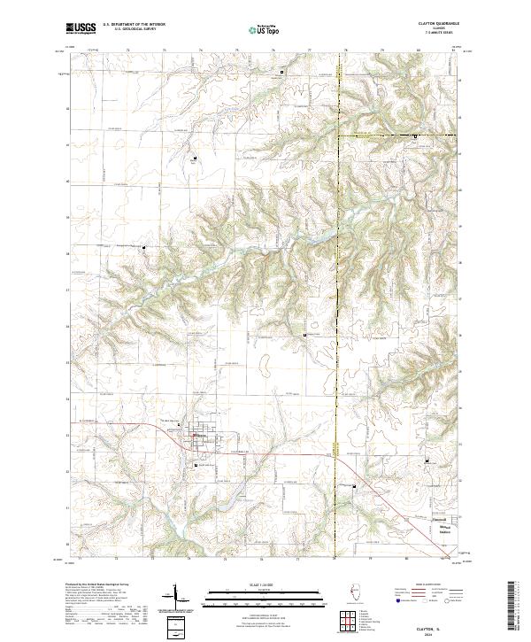 2024 Clayton2024 Print · USGSThe Adams and Brown county line area is documented here in the 2020s, centered on the village of Clayton. Researchers can trace local lineage through numerous sites like Old West Side Cem, Knight Cem, and the settlement at Timewell.
End of results
Showing maps 1-21 of 21
Top cities near Mound Station
- Mount Sterling historical maps
- Camp Point historical maps
- Clayton historical maps
- Augusta historical maps
- Golden historical maps
- Versailles historical maps
See more
Top neighborhoods of Mound Station
Frequently asked questions
- What are the different types of historical maps available for Mound Station?
- What is the oldest map of Mound Station?
- Where can I purchase historical maps of Mound Station for my home or office?
- Where can I download high-res historical maps of Mound Station?
- Are there historical topographic maps available for Mound Station?
- Is there historical aerial imagery available for Mound Station?
- Where are historical maps of Mound Station sourced from?