2000s (21st Century) Maps of Mound Station, Illinois
Explore 10 historic maps of Mound Station from the 2000s (21st Century). These maps offer a rare glimpse into what life looked like during the 2000s — showing old roads, neighborhoods, homes, and landmarks that have changed or disappeared over time.
Whether you're researching your family's past, planning a metal detecting trip, or studying how Mound Station's landscape evolved across the 2000s, these high-resolution maps are a powerful tool for exploring the history of this region.
- Focus on a specific era: All maps on this page are from the 2000s, giving you a focused view of this time period.
- See what’s changed: Compare century-old streets, trails, and buildings to today's modern landscape using overlays and satellite layers.
- Research with precision: Use these maps for genealogy, historical research, land use analysis, or educational projects.
- View, download, or print: Maps are fully viewable online in high resolution, and can be downloaded or printed for your own records.
Start exploring Mound Station's history through authentic maps from the 2000s. This is your window into the past.
Mound Station, IL maps
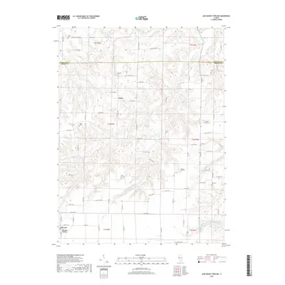
(10)- 2012 Map of Lake Mount Sterling, 2012 Print
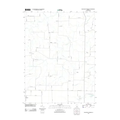 2012 Lake Mount Sterling2012 Print · USGSCovers Mound Station, including Damon, Timewell, and other nearby areas
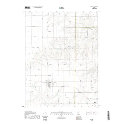
 - 2012 Map of Clayton, 2012 Print
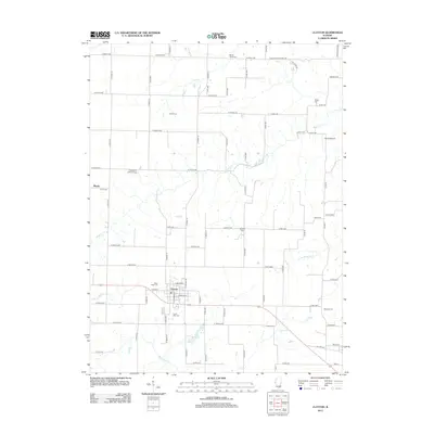 2012 Clayton2012 Print · USGSCovers Mound Station, including Clayton, Blacks, and other nearby areas
 - 2015 Map of Clayton, 2015 Print
 2015 Clayton2015 Print · USGSCovers Mound Station, including Clayton, Blacks, and other nearby areas
 - 2015 Map of Lake Mount Sterling, 2015 Print
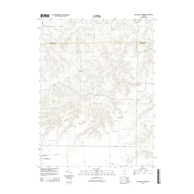 2015 Lake Mount Sterling2015 Print · USGSCovers Mound Station, including Damon, Timewell, and other nearby areas
 - 2018 Map of Clayton, 2018 Print
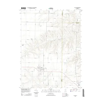
 2018 Clayton2018 Print · USGSCovers Mound Station, including Clayton, Blacks, and other nearby areas
 - 2018 Map of Lake Mount Sterling, 2018 Print
 2018 Lake Mount Sterling2018 Print · USGSCovers Mound Station, including Damon, Timewell, and other nearby areas
 - 2021 Map of Lake Mount Sterling, 2021 Print
 2021 Lake Mount Sterling2021 Print · USGSCovers Mound Station, including Damon, Timewell, and other nearby areas
 - 2021 Map of Clayton, 2021 Print
 2021 Clayton2021 Print · USGSCovers Mound Station, including Clayton, Blacks, and other nearby areas
 - 2024 Map of Lake Mount Sterling, 2024 Print
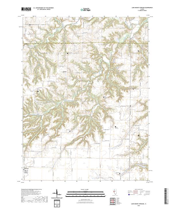 2024 Lake Mount Sterling2024 Print · USGSBrown and Schuyler counties come together in this modern survey of Illinois’ rural heartland. Genealogists can trace family heritage through numerous remote sites including Simms Cem, Miller Land Cem, and the namesake Lake Mount Sterling.
 - 2024 Map of Clayton, 2024 Print
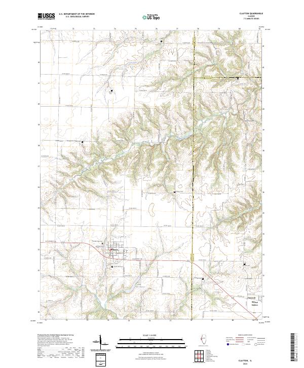 2024 Clayton2024 Print · USGSThe Adams and Brown county line area is documented here in the 2020s, centered on the village of Clayton. Researchers can trace local lineage through numerous sites like Old West Side Cem, Knight Cem, and the settlement at Timewell.
End of results
Showing maps 1-10 of 10
Top cities near Mound Station
- Mount Sterling historical maps
- Camp Point historical maps
- Clayton historical maps
- Augusta historical maps
- Golden historical maps
- Versailles historical maps
See more
Top neighborhoods of Mound Station
Frequently asked questions
- What are the different types of historical maps available for Mound Station?
- What is the oldest map of Mound Station?
- Where can I purchase historical maps of Mound Station for my home or office?
- Where can I download high-res historical maps of Mound Station?
- Are there historical topographic maps available for Mound Station?
- Is there historical aerial imagery available for Mound Station?
- Where are historical maps of Mound Station sourced from?