2020s Maps of Arenzville, Illinois
Explore 8 historic maps of Arenzville from the 2020s. These maps offer a rare glimpse into what life looked like during the 2020s — showing old roads, neighborhoods, homes, and landmarks that have changed or disappeared over time.
Whether you're researching your family's past, planning a metal detecting trip, or studying how Arenzville's landscape evolved across the 2020s, these high-resolution maps are a powerful tool for exploring the history of this region.
- Focus on a specific era: All maps on this page are from the 2020s, giving you a focused view of this time period.
- See what’s changed: Compare century-old streets, trails, and buildings to today's modern landscape using overlays and satellite layers.
- Research with precision: Use these maps for genealogy, historical research, land use analysis, or educational projects.
- View, download, or print: Maps are fully viewable online in high resolution, and can be downloaded or printed for your own records.
Start exploring Arenzville's history through authentic maps from the 2020s. This is your window into the past.
Arenzville, IL maps
(8)- 2021 Map of Chapin, 2021 Print
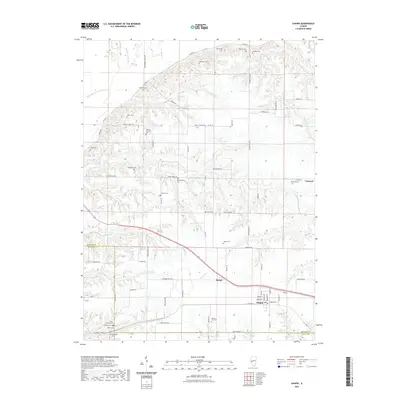 2021 Chapin2021 Print · USGSCovers Arenzville, including Chapin, Concord, and other nearby areas
 - 2021 Map of Arenzville East, 2021 Print
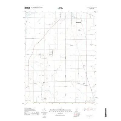
 2021 Arenzville East2021 Print · USGSCovers Arenzville, including Bluff Springs, Jules, and other nearby areas
 - 2021 Map of Arenzville West, 2021 Print
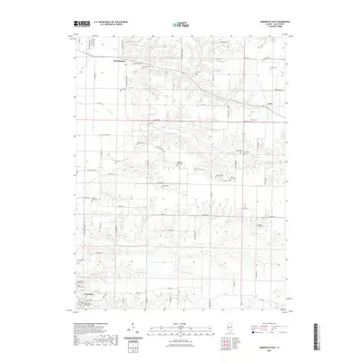
 2021 Arenzville West2021 Print · USGSCovers Arenzville, including Beardstown, Hagener, and other nearby areas
 - 2021 Map of Concord, 2021 Print
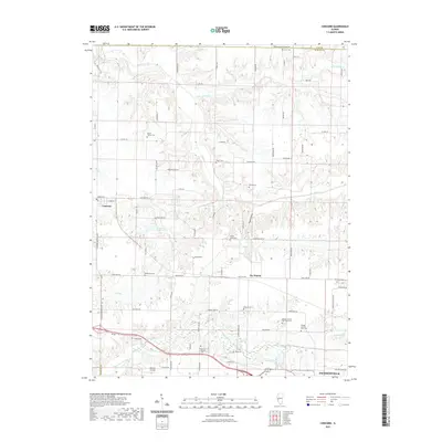 2021 Concord2021 Print · USGSCovers Arenzville, including Jacksonville, Concord, and other nearby areas
 - 2024 Map of Arenzville East, 2024 Print
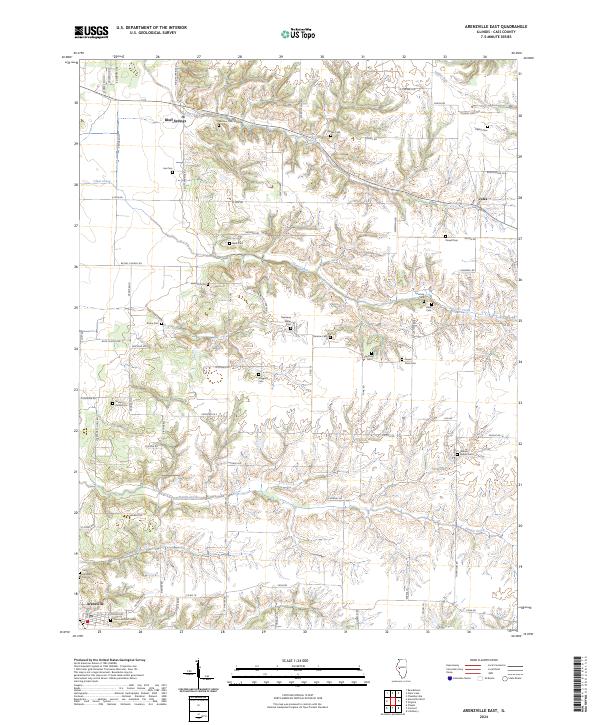 2024 Arenzville East2024 Print · USGSCass County, Illinois, is captured here in the early twenty-first century, showcasing a rural landscape deeply rooted in family history. Genealogists can trace decades of local heritage through the many family burial sites, including the Cauby Cem, Krohe Cem, and Powell Cem.
 - 2024 Map of Chapin, 2024 Print
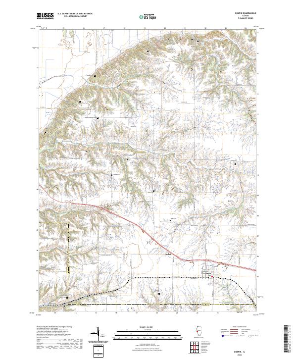 2024 Chapin2024 Print · USGSMorgan County settlement and agricultural life come into focus in this contemporary survey of the Chapin area. Researchers can trace historic family connections through numerous landmarks like Trinity Church, the Heffner Cem, and the community of Bethel.
 - 2024 Map of Concord, 2024 Print
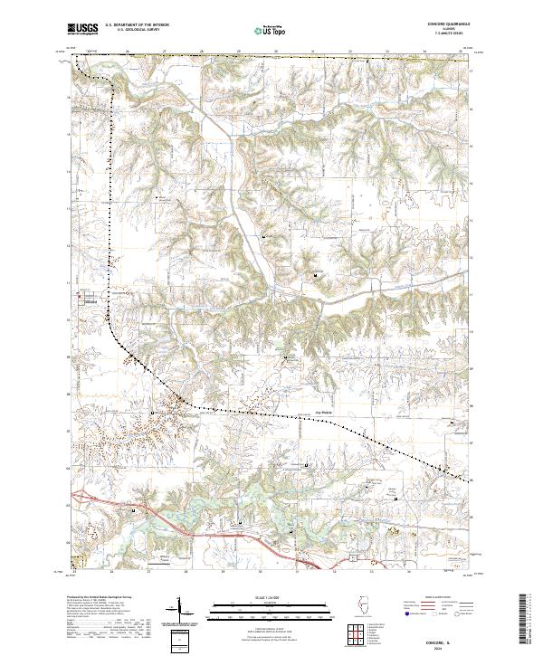 2024 Concord2024 Print · USGSThe Morgan County countryside near Concord remains a landscape of established family farms and historic burial sites. Researchers can trace the locations of the Morgan County Poor Farm Cem, Mount Zion Lutheran Cem, and the small community of Joy Prairie.
 - 2024 Map of Arenzville West, 2024 Print
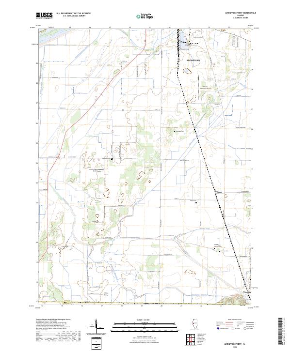 2024 Arenzville West2024 Print · USGSThe lower Illinois River valley bottomlands in Cass County are captured in this recent survey. Local researchers can locate rural cemeteries like Saint Peters Lutheran Cem and Black Oak Cem alongside landmarks such as Krohe Airport.
End of results
Showing maps 1-8 of 8
Top cities near Arenzville
- Jacksonville historical maps
- Beardstown historical maps
- South Jacksonville historical maps
- Virginia historical maps
- Meredosia historical maps
- Bluff Springs historical maps
See more
Frequently asked questions
- What are the different types of historical maps available for Arenzville?
- What is the oldest map of Arenzville?
- Where can I purchase historical maps of Arenzville for my home or office?
- Where can I download high-res historical maps of Arenzville?
- Are there historical topographic maps available for Arenzville?
- Is there historical aerial imagery available for Arenzville?
- Where are historical maps of Arenzville sourced from?