2000s (21st Century) Maps of ONYX Apartments, Urbana
Explore 10 historic maps of ONYX Apartments from the 2000s (21st Century). These maps offer a rare glimpse into what life looked like during the 2000s — showing old roads, neighborhoods, homes, and landmarks that have changed or disappeared over time.
Whether you're researching your family's past, planning a metal detecting trip, or studying how ONYX Apartments's landscape evolved across the 2000s, these high-resolution maps are a powerful tool for exploring the history of this region.
- Focus on a specific era: All maps on this page are from the 2000s, giving you a focused view of this time period.
- See what’s changed: Compare century-old streets, trails, and buildings to today's modern landscape using overlays and satellite layers.
- Research with precision: Use these maps for genealogy, historical research, land use analysis, or educational projects.
- View, download, or print: Maps are fully viewable online in high resolution, and can be downloaded or printed for your own records.
Start exploring ONYX Apartments's history through authentic maps from the 2000s. This is your window into the past.
ONYX Apartments, Urbana maps
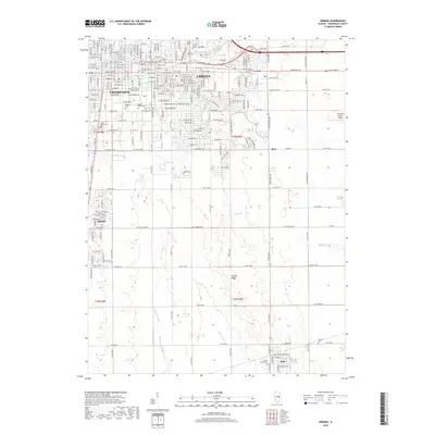
(10)- 2012 Map of Urbana, 2012 Print
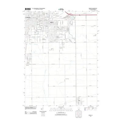 2012 Urbana2012 Print · USGSCovers ONYX Apartments, including Champaign, Urbana, and other nearby areas
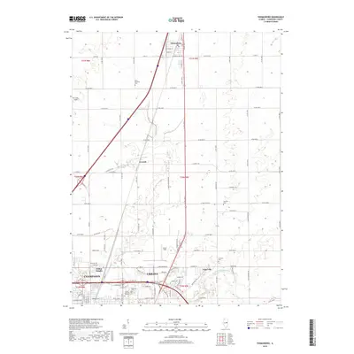
 - 2012 Map of Thomasboro, 2012 Print
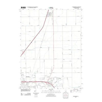 2012 Thomasboro2012 Print · USGSCovers ONYX Apartments, including Champaign, Urbana, and other nearby areas
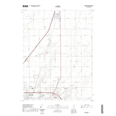
 - 2015 Map of Thomasboro, 2015 Print
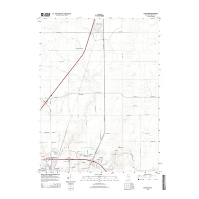 2015 Thomasboro2015 Print · USGSCovers ONYX Apartments, including Champaign, Urbana, and other nearby areas
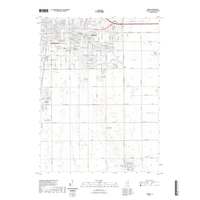
 - 2015 Map of Urbana, 2015 Print
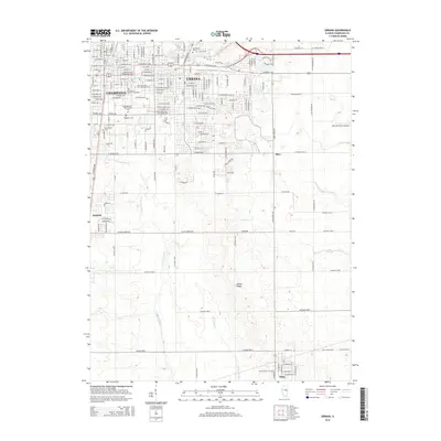 2015 Urbana2015 Print · USGSCovers ONYX Apartments, including Champaign, Urbana, and other nearby areas
 - 2018 Map of Urbana, 2018 Print
 2018 Urbana2018 Print · USGSCovers ONYX Apartments, including Champaign, Urbana, and other nearby areas
 - 2018 Map of Thomasboro, 2018 Print
 2018 Thomasboro2018 Print · USGSCovers ONYX Apartments, including Champaign, Urbana, and other nearby areas
 - 2021 Map of Thomasboro, 2021 Print
 2021 Thomasboro2021 Print · USGSCovers ONYX Apartments, including Champaign, Urbana, and other nearby areas
 - 2021 Map of Urbana, 2021 Print
 2021 Urbana2021 Print · USGSCovers ONYX Apartments, including Champaign, Urbana, and other nearby areas
 - 2024 Map of Urbana, 2024 Print
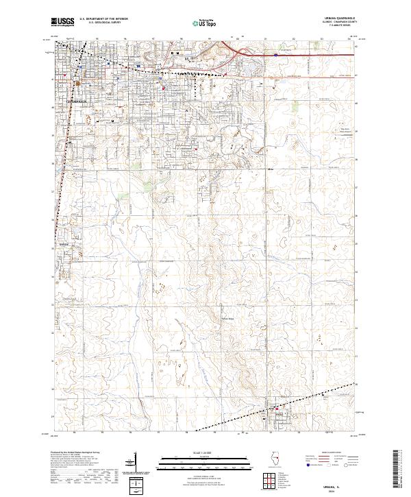 2024 Urbana2024 Print · USGSThe Twin Cities region and its southern prairie hinterlands are documented here in the 2020s, highlighting the expansion of Champaign and the university campus. Genealogists and local historians can trace legacy sites from Mount Hope Cem to the rural Philo area near Yankee Ridge.
 - 2024 Map of Thomasboro, 2024 Print
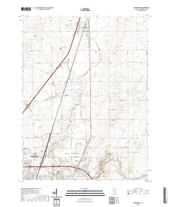 2024 Thomasboro2024 Print · USGSChampaign County is captured here in the early 2020s, showing the intersection of agricultural heritage and modern development north of the city. Researchers can trace local history through Thomasboro, Leverett, and cemeteries like Saint Elizabeth Cem.
End of results
Showing maps 1-10 of 10
Frequently asked questions
- What are the different types of historical maps available for ONYX Apartments?
- What is the oldest map of ONYX Apartments?
- Where can I purchase historical maps of ONYX Apartments for my home or office?
- Where can I download high-res historical maps of ONYX Apartments?
- Are there historical topographic maps available for ONYX Apartments?
- Is there historical aerial imagery available for ONYX Apartments?
- Where are historical maps of ONYX Apartments sourced from?