Old Maps of Harter Township, Illinois
Explore 30 old maps of Harter Township, spanning from 1948 to today. These high-resolution historic maps reveal how streets, neighborhoods, landmarks, and natural features evolved over time — perfect for genealogy, metal detecting, research, and local history exploration.
What you can do with these maps:
- See how Harter Township changed over time: Compare historical maps to modern-day views to trace roads, homesites, rail lines & more.
- View detailed metadata: Each map includes creators, publishers, year, scale, and archive source.
- Overlay maps with satellite & LiDAR: Visualize the past alongside modern tools to explore terrain & human change.
- Trusted historical sources: Maps sourced from the USGS, Library of Congress, and other archives.
- Access maps your way: View online, download high-res files, or order prints for personal or research use.
Start exploring old maps of Harter Township to uncover forgotten places, hidden landmarks, and the deep history beneath your feet.
Harter Township, IL maps
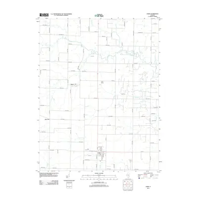
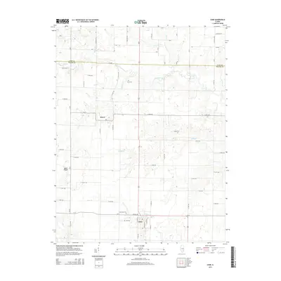
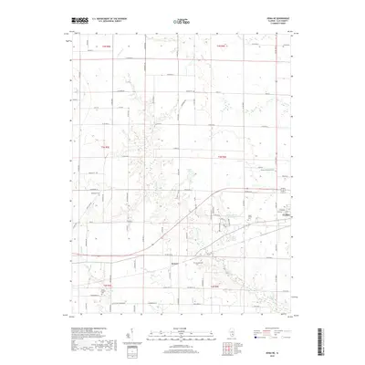
(30)- 1948 Map of Flora, 1963 Print
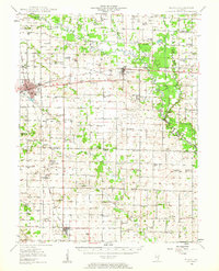 1948 Flora1963 Print · USGSClay and Wayne counties are shown at their mid-century peak of rural development, centered on the BALTIMORE AND OHIO RR corridor. Local historians can trace dozens of vanished schoolhouses and country churches, from West Seminary Sch to the South Freedom Ch.
 - 1949 Map of Flora
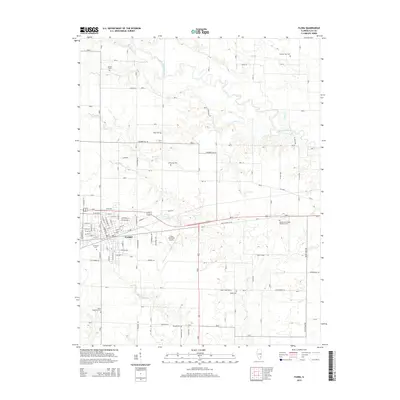
 1949 Flora1949 Print · USGSSouthern Illinois during the late 1940s was a landscape defined by the winding Little Wabash River and the busy Baltimore and Ohio RR. Researchers can trace the cultural roots of the region through dozens of local landmarks like Lathrop Chapel, Long Prairie Sch, and Oil Wells near Cisne.2 unique versions available
 - 1952 Map of Xenia, 1954 Print
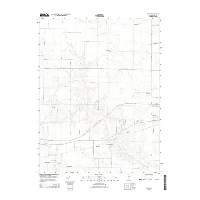
 1952 Xenia1954 Print · USGSSouthern Illinois prairie and farmland are captured here in the early fifties, showing the rural crossroads of Clay and Wayne Counties. Researchers can trace dozens of country schools and family landmarks like Henson Cem, Vickrey Sch, and the Baltimore and Ohio rail line.2 unique versions available
 - 1958 Map of Belleville, 1973 Print
 1958 Belleville1973 Print · USGSSouthern Illinois during the mid-twentieth century reveals a landscape of industrial growth and massive new reservoirs. Genealogists and historians can trace the paths of the Illinois Central RR through towns like Centralia or locate landmarks such as Emerald Mound and the Looking Glass Prairie.3 unique versions available
 - 1962 Map of Belleville
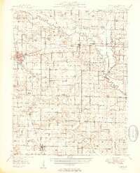
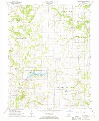
 1962 Belleville1962 Print · USGSSouthern Illinois in the late fifties reveals a landscape of industrial growth and ancient landmarks before the full expansion of the interstate system. Genealogists can trace family names and rural post offices near Centralia, Salem, and the historic Monks Mound.
 - 1968 Map of Xenia NE, 1970 Print
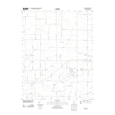
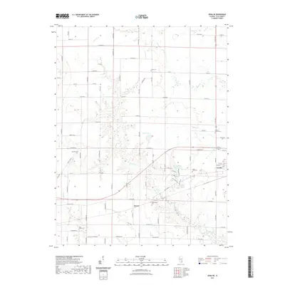
 1968 Xenia NE1970 Print · USGSClay County's rural landscape is captured here in the late sixties, just as the local petroleum industry and rail network shaped the countryside. Researchers can trace family sites at Oak Mound Cem, visit McCabe Chapel, or locate the old Lincoln Sch along the Baltimore and Ohio line.2 unique versions available
 - 1968 Map of Johnsonville, 1970 Print
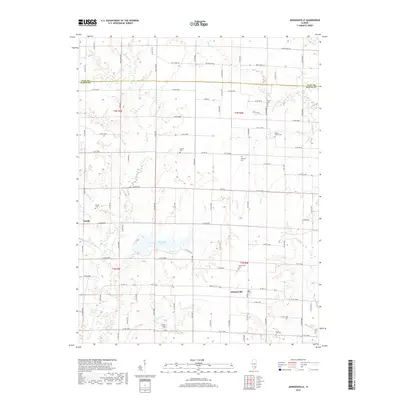
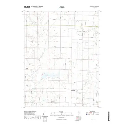
 1968 Johnsonville1970 Print · USGSWayne County in the late 1960s reveals a rural landscape dominated by oil production and state conservation efforts. Trace family history at Johnsonville Cem and Wesley Cem or explore the growth of the Johnsonville Oil Field.2 unique versions available
 - 1970 Map of Flora, 1971 Print
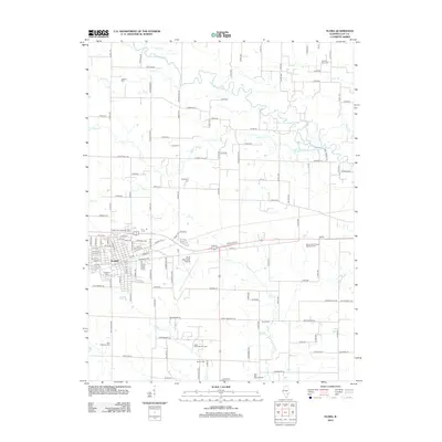
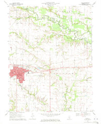 1970 Flora1971 Print · USGSClay County at the start of the 1970s reveals a landscape of railroad hubs and active oil fields. Researchers can trace the Baltimore and Ohio line through Flora or locate rural landmarks like Beulah Church and the Clay City Oil Field.
 - 1970 Map of Cisne, 1972 Print
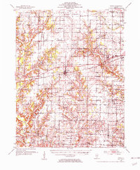
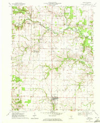 1970 Cisne1972 Print · USGSCisne and the surrounding Wayne County countryside are captured here in the early 1970s, showcasing a landscape where the railroad and oil industry met. Genealogists and local historians can locate several rural burial grounds like Stine Cem and Madden Cem or trace the Baltimore and Ohio rail line past Rinard.
 - 1986 Map of Olney
 1986 Olney1986 Print · USGSSouth-central Illinois in the mid-eighties shows a landscape of small agricultural towns linked by historic rail lines and prairie preserves. Trace family roots and vanished rail stops near Kinmundy, the Prairie Chicken Sanctuary, and Salem.2 unique versions available
 - 2012 Map of Johnsonville, 2012 Print
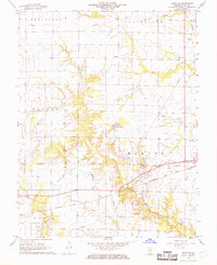
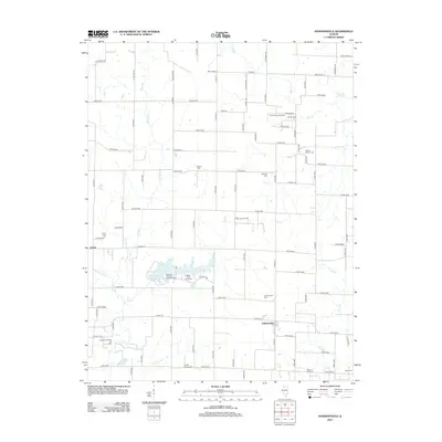 2012 Johnsonville2012 Print · USGSCovers Harter Township, including Johnsonville, Indian Prairie Township, and other nearby areas
 - 2012 Map of Cisne, 2012 Print
 2012 Cisne2012 Print · USGSCovers Harter Township, including Cisne, Indian Prairie Township, and other nearby areas
 - 2012 Map of Xenia NE, 2012 Print
 2012 Xenia NE2012 Print · USGSCovers Harter Township, including Flora, Kenner, and other nearby areas
 - 2012 Map of Flora, 2012 Print
 2012 Flora2012 Print · USGSCovers Harter Township, including Flora, Hoosier Township, and other nearby areas
 - 2015 Map of Johnsonville, 2015 Print
 2015 Johnsonville2015 Print · USGSCovers Harter Township, including Johnsonville, Indian Prairie Township, and other nearby areas
 - 2015 Map of Cisne, 2015 Print
 2015 Cisne2015 Print · USGSCovers Harter Township, including Cisne, Indian Prairie Township, and other nearby areas
 - 2015 Map of Flora, 2015 Print
 2015 Flora2015 Print · USGSCovers Harter Township, including Flora, Hoosier Township, and other nearby areas
 - 2015 Map of Xenia NE, 2015 Print
 2015 Xenia NE2015 Print · USGSCovers Harter Township, including Flora, Kenner, and other nearby areas
 - 2018 Map of Johnsonville, 2018 Print
 2018 Johnsonville2018 Print · USGSCovers Harter Township, including Johnsonville, Indian Prairie Township, and other nearby areas
 - 2018 Map of Xenia NE, 2018 Print
 2018 Xenia NE2018 Print · USGSCovers Harter Township, including Flora, Kenner, and other nearby areas
 - 2018 Map of Cisne, 2018 Print
 2018 Cisne2018 Print · USGSCovers Harter Township, including Cisne, Indian Prairie Township, and other nearby areas
 - 2018 Map of Flora, 2018 Print
 2018 Flora2018 Print · USGSCovers Harter Township, including Flora, Hoosier Township, and other nearby areas
 - 2021 Map of Cisne, 2021 Print
 2021 Cisne2021 Print · USGSCovers Harter Township, including Cisne, Indian Prairie Township, and other nearby areas
 - 2021 Map of Xenia NE, 2021 Print
 2021 Xenia NE2021 Print · USGSCovers Harter Township, including Flora, Kenner, and other nearby areas
 - 2021 Map of Johnsonville, 2021 Print
 2021 Johnsonville2021 Print · USGSCovers Harter Township, including Johnsonville, Indian Prairie Township, and other nearby areas
Showing maps 1-25 of 30
Top cities near Harter Township
- Flora historical maps
- Louisville historical maps
- Clay City historical maps
- La Clede historical maps
- Cisne historical maps
- Xenia historical maps
See more
Top neighborhoods of Harter Township
Frequently asked questions
- What are the different types of historical maps available for Harter Township?
- What is the oldest map of Harter Township?
- Where can I purchase historical maps of Harter Township for my home or office?
- Where can I download high-res historical maps of Harter Township?
- Are there historical topographic maps available for Harter Township?
- Is there historical aerial imagery available for Harter Township?
- Where are historical maps of Harter Township sourced from?