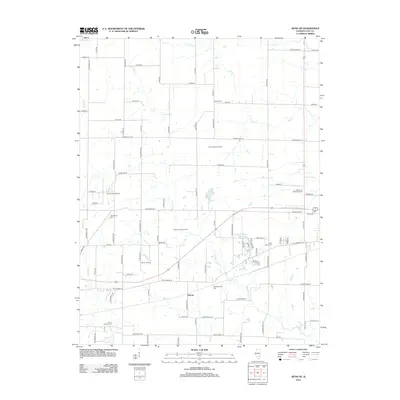
2012 Map of Xenia NE
USGS Topo · Published 2012About this map
Kenner and its surrounding rural landscapes in Clay County are defined by a complex network of resource extraction and local heritage sites. Extensive petroleum operations dominate the central terrain, notably the North Kenner Oil Field, South Kenner Oil Field, and Kenner West Oil Field. These industrial zones sit alongside numerous established family and community burial grounds, including the Logan Family Cem, Oak Mound Cem, and Meisenheimer Cem, which serve as vital markers for local genealogical research. The landscape is drained by several waterways like Raccoon Cr and Buck Cr, with small impoundments such as Trago Lake and Charley Brown Park Lake providing distinct geographic anchors. The road network, featuring Old Highway 50 and various county routes, illustrates the enduring connection between these small settlements and the regional economy.
Find a feature on this map
91 named features on this map. Tap any name to fly to it.
Don’t see what you’re looking for? This feature index may not catch every label — zoom into the map to look around manually.
Map Details
Editions of this 2012 Xenia NE Map
This is the sole edition of this map. No revisions or reprints were ever made.
Other maps of this area

1948 · Flora
USGS Topo · 1:62,500

1949 · Flora
USGS Topo · 1:62,500

1952 · Xenia
USGS Topo · 1:62,500

1953 · Sailor Springs
USGS Topo · 1:62,500

1956 · Edgewood
USGS Topo · 1:62,500

1958 · Belleville
USGS Topo · 1:250,000

1962 · Belleville
USGS Topo · 1:250,000
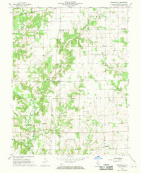
1968 · Orchardville
USGS Topo · 1:24,000
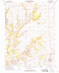
1968 · Xenia
USGS Topo · 1:24,000
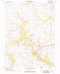
1968 · Xenia NE
USGS Topo · 1:24,000