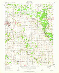
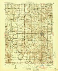
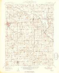
1948 Map of Flora
USGS Topo · Published 1963About this map
Flora and Clay City serve as the primary hubs in this late 1940s landscape, positioned along the busy corridor of the Baltimore And Ohio Rr. The surrounding countryside is a dense network of agricultural homesteads, marked by a high concentration of one-room schoolhouses such as McKinney Sch, Brushville Sch, and Pleasant Dale Sch. This pattern of rural development reflects an era of localized community life before the consolidation of rural districts, where family-named landmarks like Jenkins Cem and Hanna Cem anchored the social geography of southern Illinois.
Find a feature on this map
79 named features on this map. Tap any name to fly to it.
Don’t see what you’re looking for? This feature index may not catch every label — zoom into the map to look around manually.
Map Details
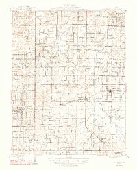
Editions of this 1948 Flora Map
This is the sole edition of this map. No revisions or reprints were ever made.
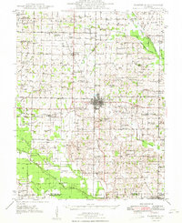
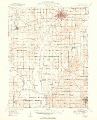
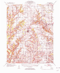
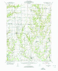
Other maps of this area
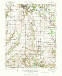
1941 · Newton
USGS Topo · 1:62,500
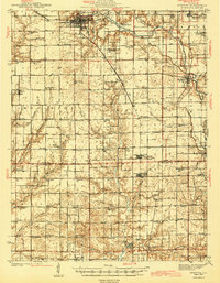
1943 · Newton
USGS Topo · 1:62,500
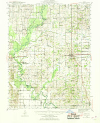
1943 · Albion
USGS Topo · 1:62,500
1946 · Albion
USGS Topo · 1:62,500
1947 · Wayne City
USGS Topo · 1:62,500
1948 · Fairfield
USGS Topo · 1:62,500
1949 · Olney
USGS Topo · 1:62,500
1949 · Flora
USGS Topo · 1:62,500
1952 · Xenia
USGS Topo · 1:62,500
1953 · Sailor Springs
USGS Topo · 1:62,500
Featured Places
- Flora, IL
- Clay City, Clay City Township
- Cisne, Bedford Township
- Clay City Township, IL
- Harter Township, IL