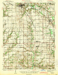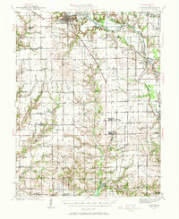
1941 Map of Newton
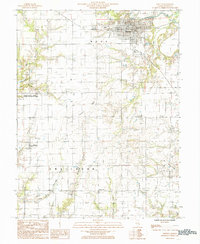
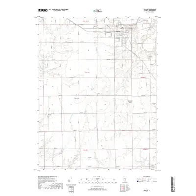
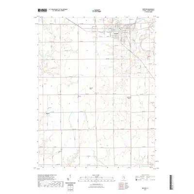
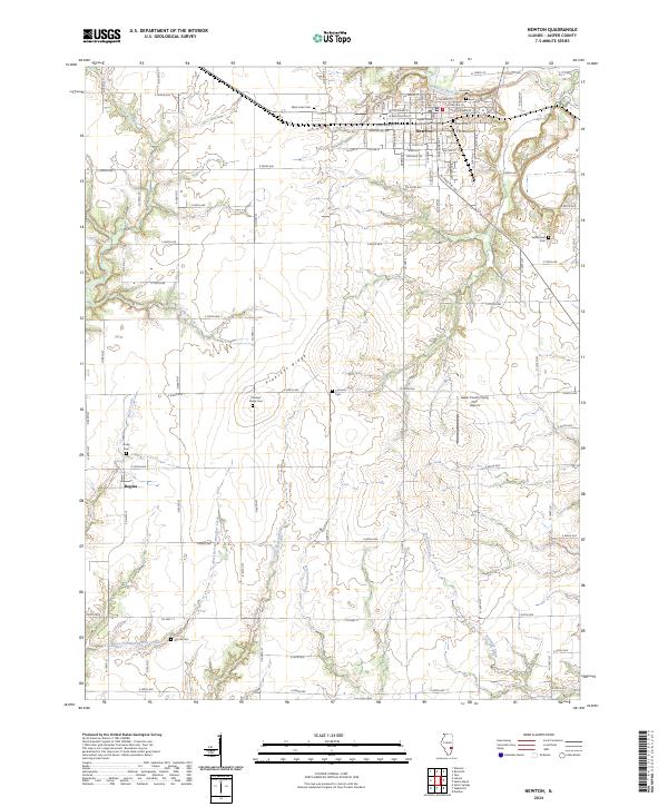
USGS Topo · Published 1972About this map
Newton serves as the focal point of this 1941 survey, situated at the junction of the Illinois Central railroad and the Embarras River. The landscape across Jasper Co and Richland Co is defined by a high density of rural schoolhouses, suggesting a period of robust agrarian communities prior to the mid-century consolidation of school districts. Settlements like Ste Marie, Willow Hill, and West Liberty anchor the surrounding townships, connected by a network of early state routes including Illinois 33 and Illinois 130.
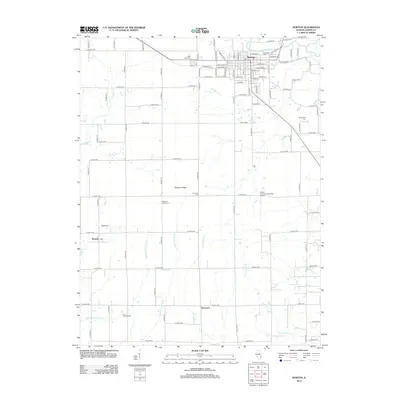
Find a feature on this map
83 named features on this map. Tap any name to fly to it.
Don’t see what you’re looking for? This feature index may not catch every label — zoom into the map to look around manually.
Map Details
Editions of this 1941 Newton Map
This is the sole edition of this map. No revisions or reprints were ever made.
Historical Maps of Olney Through Time
8 maps found