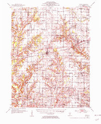
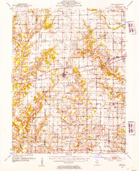
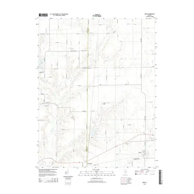
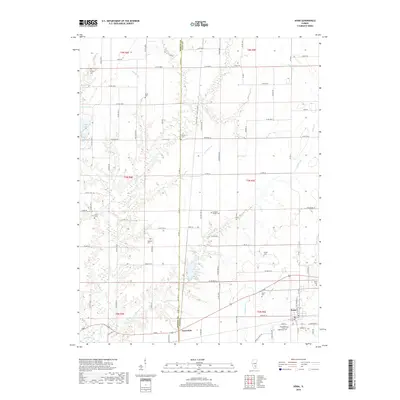
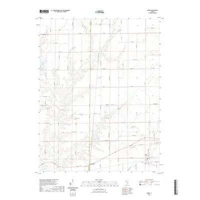
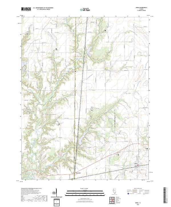
1952 Map of Xenia
USGS Topo · Published 1954About this map
The Baltimore and Ohio railroad corridor anchors this mid-century look at Clay, Wayne, and Marion Counties, with the village of Xenia serving as a central hub. The landscape is a dense network of early rural infrastructure, marked by an exceptional number of country schools and churches that speak to the established agricultural communities of the 1950s. While some landmarks like the Lone Star Sch are already noted as abandoned, many others like the Vickrey Sch and Center Sch remain active focal points for their respective townships. To the southeast, Johnsonville and Orchardville sit near the headwaters of Skillet Fork, while the northern reaches include landmarks like the Town Hall in Songer and the Flora Airport near the Harter township line. Numerous Oil Wells scattered across the terrain indicate the region's active energy extraction during this period.
Find a feature on this map
85 named features on this map. Tap any name to fly to it.
Don’t see what you’re looking for? This feature index may not catch every label — zoom into the map to look around manually.
Map Details
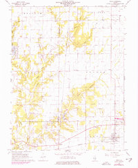
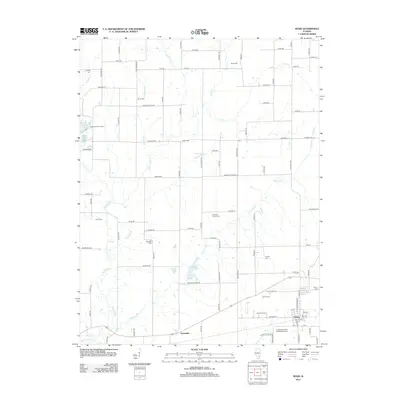
Editions of this 1952 Xenia Map
2 editions found
Historical Maps of Flora Through Time
7 maps found
Featured Locations
- Flora, IL
- Harter Township, IL
- Louisville Township, IL
- Johnsonville, Indian Prairie Township
- Xenia, Xenia Township