
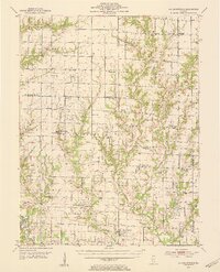
1953 Map of Sailor Springs
USGS Topo · Published 1955About this map
Sailor Springs and the surrounding townships of North Muddy and South Muddy define this rural landscape as it appeared in the early 1950s. The area is characterized by a dense network of country schools and churches, reflecting a decentralized agrarian community before widespread consolidation. Notable landmarks include the Hoosier Prairie Ch and the Town Hall in Bible Grove.
Find a feature on this map
89 named features on this map. Tap any name to fly to it.
Don’t see what you’re looking for? This feature index may not catch every label — zoom into the map to look around manually.
Map Details
Editions of this 1953 Sailor Springs Map
2 editions found
Other maps of this area

1940 · Greenup
USGS Topo · 1:62,500

1941 · Newton
USGS Topo · 1:62,500

1943 · Greenup
USGS Topo · 1:62,500

1943 · Newton
USGS Topo · 1:62,500

1948 · Flora
USGS Topo · 1:62,500

1949 · Olney
USGS Topo · 1:62,500

1949 · Flora
USGS Topo · 1:62,500

1950 · Effingham
USGS Topo · 1:62,500

1951 · Effingham
USGS Topo · 1:62,500

1952 · Xenia
USGS Topo · 1:62,500