Old Maps of Iola, Illinois for Academic Research
Study the evolution of Iola with 16 high-resolution historic maps. Whether you're teaching, researching, or modeling changes in land use, these maps provide essential visual documentation of urban, environmental, and geographic change.
- Analyze long-term change: Track patterns in development, transportation, and natural features.
- Ideal for environmental or urban studies: Support academic projects with primary historical map data.
- Use in the classroom or lab: Educators and researchers rely on these maps to bring historical context to life.
These maps are a powerful tool for teaching, research, and visualizing how Iola has changed over the decades.
Iola, IL maps
(16)- 1956 Map of Edgewood, 1957 Print
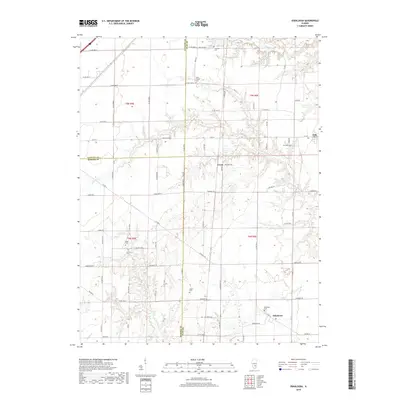
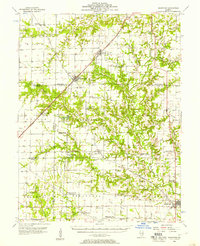 1956 Edgewood1957 Print · USGSRailroad junctions and rising oil fields define this mid-century look at the Clay and Effingham county lines. Genealogists can trace family names at St Ann Cem, Keen Chapel, and the settlement of La Clede along the ILLINOIS CENTRAL tracks.2 unique versions available
 - 1958 Map of Belleville, 1973 Print
 1958 Belleville1973 Print · USGSSouthern Illinois during the mid-twentieth century reveals a landscape of industrial growth and massive new reservoirs. Genealogists and historians can trace the paths of the Illinois Central RR through towns like Centralia or locate landmarks such as Emerald Mound and the Looking Glass Prairie.3 unique versions available
 - 1962 Map of Belleville
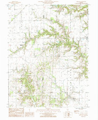
 1962 Belleville1962 Print · USGSSouthern Illinois in the late fifties reveals a landscape of industrial growth and ancient landmarks before the full expansion of the interstate system. Genealogists can trace family names and rural post offices near Centralia, Salem, and the historic Monks Mound.
 - 1985 Map of Louisville West
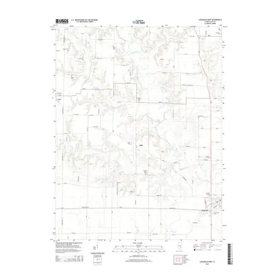
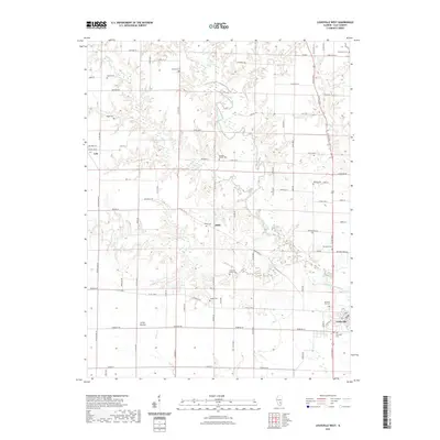
 1985 Louisville West1985 Print · USGSClay County in the mid-1980s reveals a prairie landscape structured by the Little Wabash River and its many creek systems. Genealogists and historians can trace the bounds of Louisville and Riffle alongside local landmarks like a Quarry and numerous rural Cemeteries.
 - 1985 Map of Oskaloosa
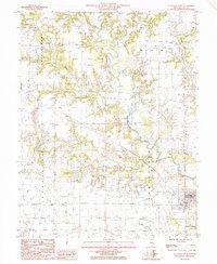
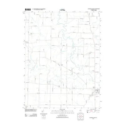
 1985 Oskaloosa1985 Print · USGSClay County and the surrounding countryside appear in detail during the mid-1980s, showcasing the rural road networks and township divisions. Local researchers can trace family lands near Iola and the winding banks of Skillet Fork or Dismal Creek.
 - 1986 Map of Olney
 1986 Olney1986 Print · USGSSouth-central Illinois in the mid-eighties shows a landscape of small agricultural towns linked by historic rail lines and prairie preserves. Trace family roots and vanished rail stops near Kinmundy, the Prairie Chicken Sanctuary, and Salem.2 unique versions available
 - 2012 Map of Oskaloosa, 2012 Print
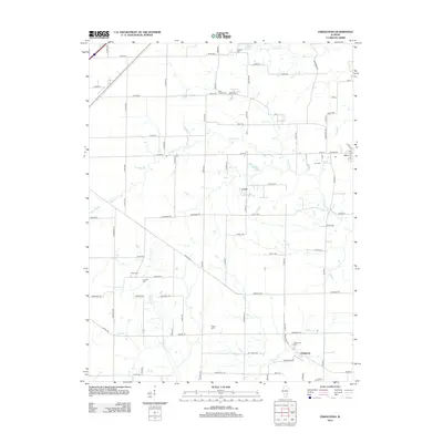 2012 Oskaloosa2012 Print · USGSCovers Iola, including Oskaloosa, Cruse, and other nearby areas
 - 2012 Map of Louisville West, 2012 Print
 2012 Louisville West2012 Print · USGSCovers Iola, including Louisville, Louisville Township, and other nearby areas
 - 2015 Map of Oskaloosa, 2015 Print
 2015 Oskaloosa2015 Print · USGSCovers Iola, including Oskaloosa, Cruse, and other nearby areas
 - 2015 Map of Louisville West, 2015 Print
 2015 Louisville West2015 Print · USGSCovers Iola, including Louisville, Louisville Township, and other nearby areas
 - 2018 Map of Louisville West, 2018 Print
 2018 Louisville West2018 Print · USGSCovers Iola, including Louisville, Louisville Township, and other nearby areas
 - 2018 Map of Oskaloosa, 2018 Print
 2018 Oskaloosa2018 Print · USGSCovers Iola, including Oskaloosa, Cruse, and other nearby areas
 - 2021 Map of Louisville West, 2021 Print
 2021 Louisville West2021 Print · USGSCovers Iola, including Louisville, Louisville Township, and other nearby areas
 - 2021 Map of Oskaloosa, 2021 Print
 2021 Oskaloosa2021 Print · USGSCovers Iola, including Oskaloosa, Cruse, and other nearby areas
 - 2024 Map of Oskaloosa, 2024 Print
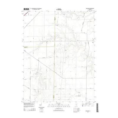
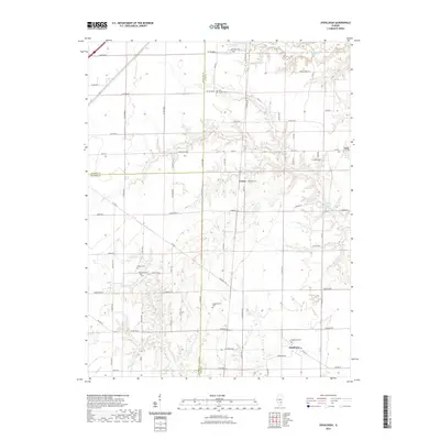
 2024 Oskaloosa2024 Print · USGSClay County and the neighboring borderlands appear here in their modern rural character, defined by small towns and drainage basins. Genealogists can locate several family burial sites, such as Elder Cem and Courson Cem, alongside the village of Oskaloosa.
 - 2024 Map of Louisville West, 2024 Print
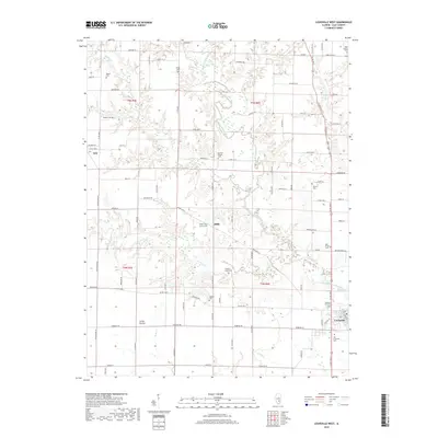
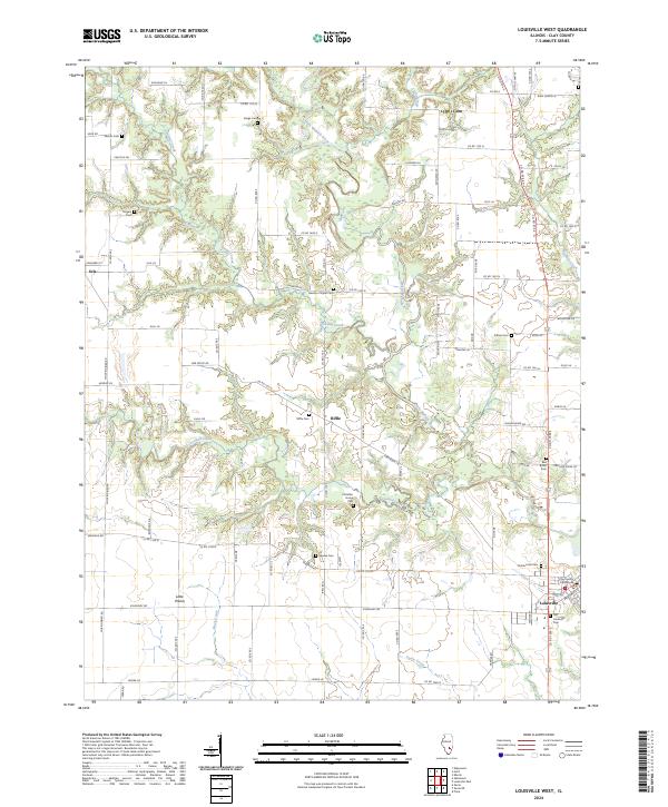 2024 Louisville West2024 Print · USGSClay County in the 2020s remains a landscape of deep-rooted rural history along the Little Wabash River. Researchers can trace genealogy through dozens of small burial sites like Newton Chapel Cem or locate the seat of local government at the Clay County Courthouse.
End of results
Showing maps 1-16 of 16
Top cities near Iola
- Flora historical maps
- Altamont historical maps
- Saint Elmo historical maps
- St. Elmo historical maps
- Louisville historical maps
- La Clede historical maps
See more
Frequently asked questions
- What are the different types of historical maps available for Iola?
- What is the oldest map of Iola?
- Where can I purchase historical maps of Iola for my home or office?
- Where can I download high-res historical maps of Iola?
- Are there historical topographic maps available for Iola?
- Is there historical aerial imagery available for Iola?
- Where are historical maps of Iola sourced from?