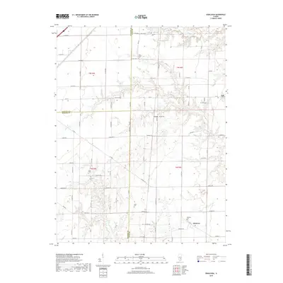
2018 Map of Oskaloosa
USGS Topo · Published 2018About this map
The town of Oskaloosa and the neighboring village of Iola anchor this section of south-central Illinois, where the borders of Clay, Fayette, and Marion counties meet. The landscape is defined by the dendritic drainage patterns of Skillet Fork and Dismal Cr, which cut through the agricultural fields that dominate the terrain. This map reveals a high density of rural burial sites, including the Negro Cem near Kinmundy Rd, and others such as Elder Cem, Courson Cem, and Keen Chapel Cem. These small, localized cemeteries, often located at the edges of sections or near early homesteads, offer significant evidence for genealogists tracing 19th and 20th-century settlement families. Small water bodies like Patterson Lake and Ging Lake provide breaks in the grid of county roads, such as Vandalia Rd and Co Rd 800 N, which connect the dispersed farmsteads of the Cruse area.
Find a feature on this map
61 named features on this map. Tap any name to fly to it.
Don’t see what you’re looking for? This feature index may not catch every label — zoom into the map to look around manually.
Map Details
Editions of this 2018 Oskaloosa Map
This is the sole edition of this map. No revisions or reprints were ever made.
Other maps of this area
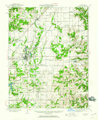
1934 · Salem
USGS Topo · 1:62,500
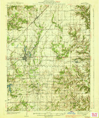
1938 · Salem
USGS Topo · 1:62,500
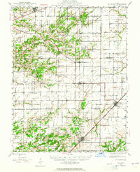
1945 · Kinmundy
USGS Topo · 1:62,500
1947 · Kinmundy
USGS Topo · 1:62,500
1952 · Xenia
USGS Topo · 1:62,500
1956 · Edgewood
USGS Topo · 1:62,500
1958 · Belleville
USGS Topo · 1:250,000
1962 · Belleville
USGS Topo · 1:250,000
1965 · Omega
USGS Topo · 1:24,000
1968 · Xenia
USGS Topo · 1:24,000