2000s (21st Century) Maps of Albers, Illinois
Explore 10 historic maps of Albers from the 2000s (21st Century). These maps offer a rare glimpse into what life looked like during the 2000s — showing old roads, neighborhoods, homes, and landmarks that have changed or disappeared over time.
Whether you're researching your family's past, planning a metal detecting trip, or studying how Albers's landscape evolved across the 2000s, these high-resolution maps are a powerful tool for exploring the history of this region.
- Focus on a specific era: All maps on this page are from the 2000s, giving you a focused view of this time period.
- See what’s changed: Compare century-old streets, trails, and buildings to today's modern landscape using overlays and satellite layers.
- Research with precision: Use these maps for genealogy, historical research, land use analysis, or educational projects.
- View, download, or print: Maps are fully viewable online in high resolution, and can be downloaded or printed for your own records.
Start exploring Albers's history through authentic maps from the 2000s. This is your window into the past.
Albers, IL maps
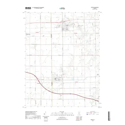
(10)- 2012 Map of Trenton, 2012 Print
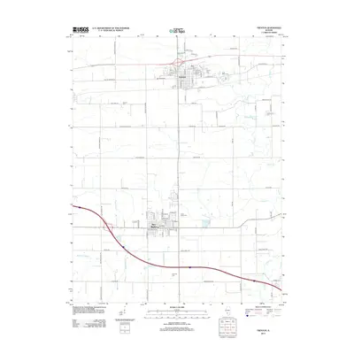 2012 Trenton2012 Print · USGSCovers Albers, including New Baden, Trenton, and other nearby areas
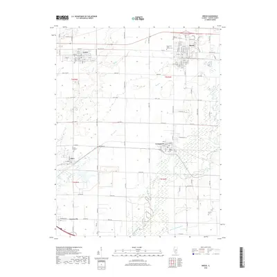
 - 2012 Map of Breese, 2012 Print
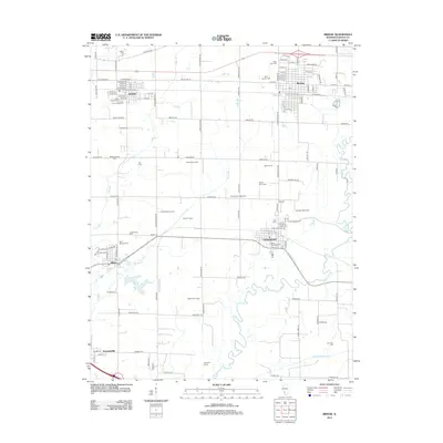 2012 Breese2012 Print · USGSCovers Albers, including Breese, Aviston, and other nearby areas
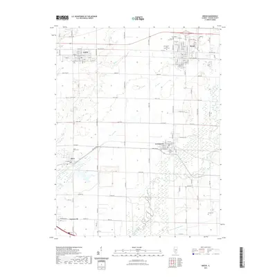
 - 2015 Map of Breese, 2015 Print
 2015 Breese2015 Print · USGSCovers Albers, including Breese, Aviston, and other nearby areas
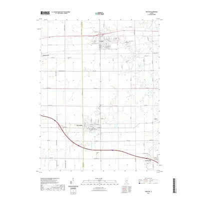
 - 2015 Map of Trenton, 2015 Print
 2015 Trenton2015 Print · USGSCovers Albers, including New Baden, Trenton, and other nearby areas
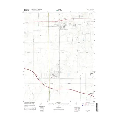
 - 2018 Map of Trenton, 2018 Print
 2018 Trenton2018 Print · USGSCovers Albers, including New Baden, Trenton, and other nearby areas
 - 2018 Map of Breese, 2018 Print
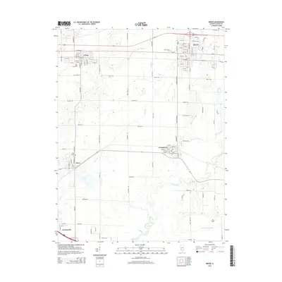
 2018 Breese2018 Print · USGSCovers Albers, including Breese, Aviston, and other nearby areas
 - 2021 Map of Trenton, 2021 Print
 2021 Trenton2021 Print · USGSCovers Albers, including New Baden, Trenton, and other nearby areas
 - 2021 Map of Breese, 2021 Print
 2021 Breese2021 Print · USGSCovers Albers, including Breese, Aviston, and other nearby areas
 - 2024 Map of Breese, 2024 Print
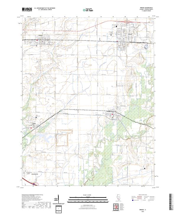 2024 Breese2024 Print · USGSThis Clinton County landscape centers on the growing communities of Breese and Aviston during the early 2020s. Researchers can trace local heritage through numerous sites like Saint Francis Cem, Ammons Cem, and the prominent Boot Hill.
 - 2024 Map of Trenton, 2024 Print
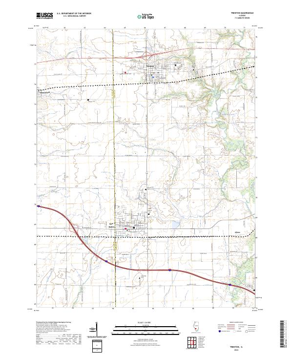 2024 Trenton2024 Print · USGSClinton County near the St. Clair line is shown here in its modern agricultural and residential maturity. Genealogists can locate family sites at Saint Marys Cem and Wittmer Cem or trace the waters of Sugar Creek and Rayhill Slough.
End of results
Showing maps 1-10 of 10
Top cities near Albers
- Highland historical maps
- Mascoutah historical maps
- Lebanon historical maps
- Breese historical maps
- Carlyle historical maps
- New Baden historical maps
See more
Frequently asked questions
- What are the different types of historical maps available for Albers?
- What is the oldest map of Albers?
- Where can I purchase historical maps of Albers for my home or office?
- Where can I download high-res historical maps of Albers?
- Are there historical topographic maps available for Albers?
- Is there historical aerial imagery available for Albers?
- Where are historical maps of Albers sourced from?