Old Maps of Kenilworth, New Trier Township for Academic Research
Study the evolution of Kenilworth with 14 high-resolution historic maps. Whether you're teaching, researching, or modeling changes in land use, these maps provide essential visual documentation of urban, environmental, and geographic change.
- Analyze long-term change: Track patterns in development, transportation, and natural features.
- Ideal for environmental or urban studies: Support academic projects with primary historical map data.
- Use in the classroom or lab: Educators and researchers rely on these maps to bring historical context to life.
These maps are a powerful tool for teaching, research, and visualizing how Kenilworth has changed over the decades.
Kenilworth, New Trier Township maps
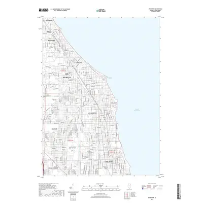
(14)- 1899 Map of Evanston
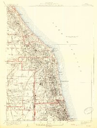
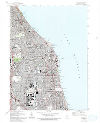
 1899 Evanston1899 Print · USGSThe Illinois lakefront north of Chicago was undergoing rapid suburbanization during the late nineteenth century. Genealogists and historians can trace the early street grids of Evanston and Winnetka along the Chicago and Northwestern rail line.3 unique versions available
 - 1928 Map of Evanston
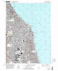
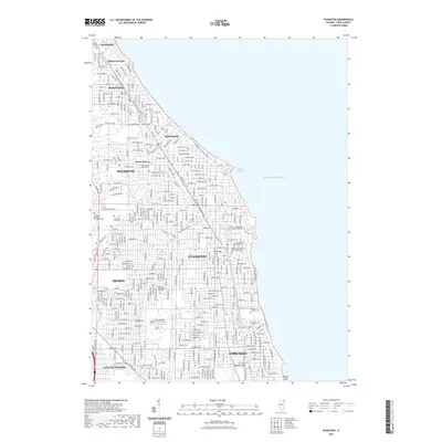
 1928 Evanston1928 Print · USGSThe North Shore suburbs and the northern edge of Chicago are seen in detail during the late 1920s. Local researchers can trace early residential growth near Northwestern University and locate landmarks like the Gross Pt L H or Calvary Cemetery.5 unique versions available
 - 1953 Map of Evanston, 1955 Print
 1953 Evanston1955 Print · USGSThe North Shore suburbs and northern Chicago lakefront are captured in the mid-1950s as these rail-connected communities reached their peak maturity. Researchers can trace historic campus footprints at Northwestern University or locate family sites near Calvary Cemetery and New Trier High Sch.
 - 1958 Map of Racine, 1971 Print
 1958 Racine1971 Print · USGSThe Lake Michigan shoreline in the late fifties was a study in contrasts between the industrial bustle of Kenosha and the quiet woods of the Allegan State Forest. Genealogists and historians can trace the urban footprint of Evanston or locate strategic sites like Fort Sheridan and the Wind Point Light.3 unique versions available
 - 1962 Map of Racine
 1962 Racine1962 Print · USGSThe Lake Michigan shoreline in the early sixties reveals a fascinating contrast between the dense industrial rail hubs of RACINE and CHICAGO and the forested dunes of Michigan. Local historians can trace military installations like Fort Sheridan or explore the numerous inland retreats around Paw Paw Lake and Sister Lakes.
 - 1963 Map of Evanston, 1964 Print
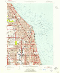
 1963 Evanston1964 Print · USGSThe North Shore suburbs of Chicago thrive during the early sixties, showcasing a landscape of established lakeside communities and prestigious universities. Genealogists and local historians can trace family locations near Calvary Cemetery or the historic Indian Boundary Treaty Line.5 unique versions available
 - 1980 Map of Waukegan
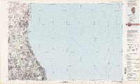 1980 Waukegan1980 Print · USGSThe Illinois North Shore and Lake Michigan coastline appear at a point of high development in the early eighties. Trace the expansive grounds of the Great Lakes Naval Training Center, Fort Sheridan, and historic Northwestern University.
 - 1993 Map of Evanston
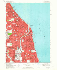
 1993 Evanston1993 Print · USGSThe North Shore suburbs of Evanston and Wilmette are shown here during the early nineties, revealing a dense grid of lakefront neighborhoods and prestigious institutions. Genealogists and local historians can trace the grounds of Calvary Cemetery, Loyola University, and the unique Bahai Temple.
 - 1995 Map of Evanston, 1999 Print
 1995 Evanston1999 Print · USGSThe North Shore's residential and institutional landscape is captured here in the late twentieth century. Genealogists and historians can trace the campuses of Northwestern University, the Bahai Temple, and the sprawling Calvary Cemetery.
 - 2012 Map of Evanston, 2012 Print
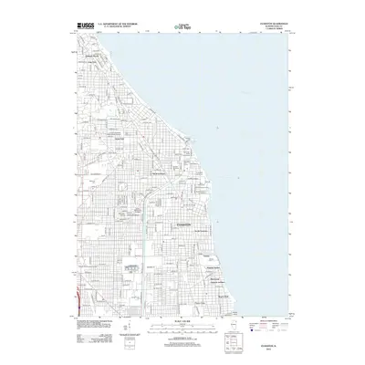 2012 Evanston2012 Print · USGSCovers Kenilworth, including Chicago, Evanston, and other nearby areas
 - 2015 Map of Evanston, 2015 Print
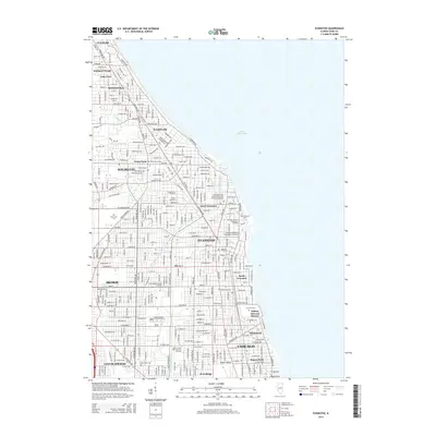 2015 Evanston2015 Print · USGSCovers Kenilworth, including Chicago, Evanston, and other nearby areas
 - 2018 Map of Evanston, 2018 Print
 2018 Evanston2018 Print · USGSCovers Kenilworth, including Chicago, Evanston, and other nearby areas
 - 2021 Map of Evanston, 2021 Print
 2021 Evanston2021 Print · USGSCovers Kenilworth, including Chicago, Evanston, and other nearby areas
 - 2024 Map of Evanston, 2024 Print
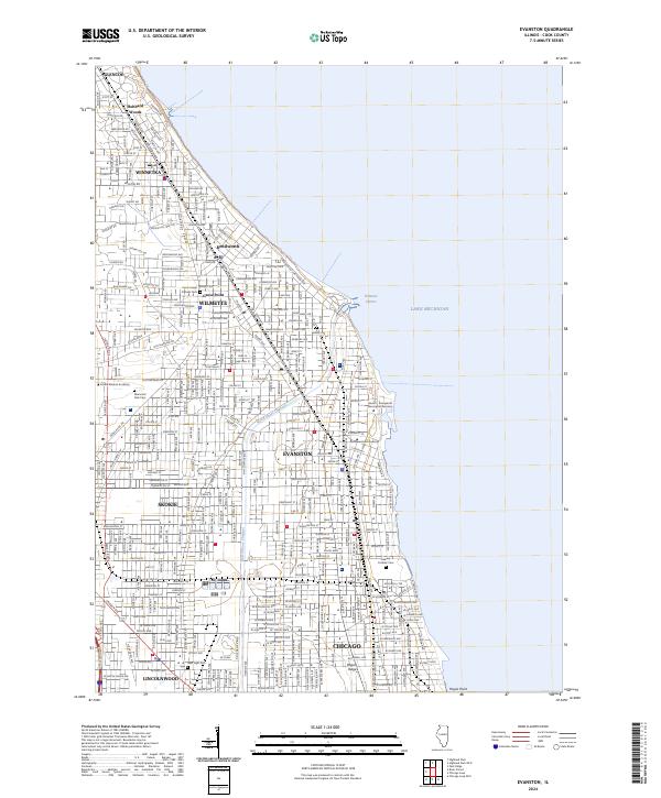 2024 Evanston2024 Print · USGSThe Cook County lakefront thrives in the twenty-first century as a corridor of historic suburbs and academic centers. Genealogists and historians can trace local landmarks from Hubbard Woods down to Calvary Catholic Cem and the Northwestern University campus.
End of results
Showing maps 1-14 of 14
Top cities near Kenilworth
- Chicago historical maps
- Waukegan historical maps
- Cicero historical maps
- Evanston historical maps
- Skokie historical maps
- Des Plaines historical maps
See more
Frequently asked questions
- What are the different types of historical maps available for Kenilworth?
- What is the oldest map of Kenilworth?
- Where can I purchase historical maps of Kenilworth for my home or office?
- Where can I download high-res historical maps of Kenilworth?
- Are there historical topographic maps available for Kenilworth?
- Is there historical aerial imagery available for Kenilworth?
- Where are historical maps of Kenilworth sourced from?