Old Maps of Rosemont, Illinois for Genealogy
Trace your family roots with 42 historic maps of Rosemont. These high-res maps reveal old neighborhoods, homesites, landmarks, and streets — helping you uncover where your ancestors lived and how the area evolved over time.
- Explore historic neighborhoods: Identify where your relatives may have lived in the 1800s or 1900s.
- Compare maps over time: Trace the changes in streets, buildings, and landmarks for multi-generational research.
- Perfect for genealogy & ancestry research: Used by family historians and researchers to map out lineage and migration.
These maps are an incredible resource for exploring your personal connection to Rosemont's past.
Rosemont, IL maps
(42)- 1891 Map of Riverside
 1891 Riverside1891 Print · USGSWest of Chicago in the early nineties, these developing suburbs formed a dense network of rail-side settlements and waterworks. Genealogists can trace early homesteads and vanished landmarks like the County Farm and Mammoth Springs alongside the banks of the Des Plaines River.
 - 1893 Map of Riverside
 1893 Riverside1893 Print · USGSWest of Chicago in the 1890s, the landscape was a growing network of rail-centered villages and industrial canals. Genealogists and local historians can trace early property and town layouts in Riverside, Maywood, and the Dunning County Farm alongside the Desplaines River.
 - 1900 Map of Riverside
 1900 Riverside1900 Print · USGSThe western Chicago suburbs and the Desplaines River valley are captured here during a period of massive industrial and rail expansion. Genealogists can locate early settlements like Fullersburg and Lace, or trace family plots in Waldheim Cemetery.
 - 1900 Map of Highwood
 1900 Highwood1900 Print · USGSCoastal bluffs and river valleys north of Chicago come alive in this late nineteenth-century survey. Trace the early footprints of settlements like Highland Park and Arlington Heights or locate the historic military grounds at Fort Sheridan.5 unique versions available
 - 1901 Map of Riverside
 1901 Riverside1901 Print · USGSGreater Chicago and the Desplaines River valley are captured here at a moment of rapid rail expansion and civic engineering. Genealogists and historians can trace early settlements and burial sites like Waldheim Cemetery, the Chicago Union Transfer Railroad Yards, and Jefferson Park.4 unique versions available
 - 1927 Map of Arlington Heights
 1927 Arlington Heights1927 Print · USGSCook County in the mid-1920s shows a landscape of emerging rail suburbs and quiet prairie farmland. Genealogists and local historians can trace family-named sites and vanished landmarks like the English Cemetery, Schnells Corner, and St Johns Church.3 unique versions available
 - 1928 Map of Elmhurst
 1928 Elmhurst1928 Print · USGSWestern suburbs like Elmhurst and Bensenville appear in the late 1920s as thriving rail hubs before the postwar housing boom. Researchers can trace early family sites at Friedens Cemetery, locate the Lutheran Orphanage, and see the original layout of Elmhurst College.3 unique versions available
 - 1928 Map of River Forest
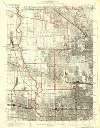 1928 River Forest1928 Print · USGSIn the late twenties, the Chicago city limits pushed westward toward the Des Plaines River, transforming prairie and farmland into a dense suburban grid. Genealogists and historians can trace family plots in St Joseph Cemetery or locate early landmarks like Rosary College and the Chicago State Hospital.4 unique versions available
 - 1953 Map of Arlington Heights, 1955 Print
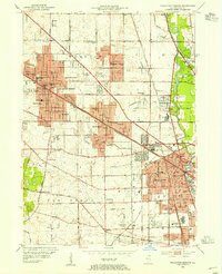 1953 Arlington Heights1955 Print · USGSPost-war Cook County comes alive in this survey of the growing corridor from Arlington Heights to Des Plaines. Trace family roots at All Saints Cem or locate the early footprints of Pal-Waukee Airport and O'Hare Field.
 - 1953 Map of River Forest, 1955 Print
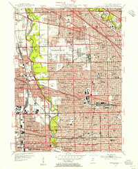 1953 River Forest1955 Print · USGSSuburban Cook County is seen in a period of dense growth during the early fifties, showing the maturing street grids of River Grove and Oak Park. Genealogists can locate numerous local landmarks like St Joseph Cemetery and schools such as Wright Jr College.
 - 1953 Map of Elmhurst, 1956 Print
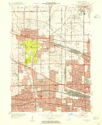 1953 Elmhurst1956 Print · USGSThe western suburbs of Chicago are seen in a period of intense postwar expansion, from the rising O'Hare Field to the core of Elmhurst. Genealogists and historians can trace local institutions and early aviation sites like the Mater Dolorosa Seminary, Zion Cem, and Sky Haven Airport.
 - 1953 Map of Chicago, 1964 Print
 1953 Chicago1964 Print · USGSThe southern Lake Michigan shoreline was rapidly modernizing in the mid-fifties, balancing heavy industry with its famous academic centers. Researchers can trace the footprints of Notre Dame University or locate vanished sites like the Kingsbury Ordnance Plant and Meigs Field.5 unique versions available
 - 1957 Map of Chicago
 1957 Chicago1957 Print · USGSThe industrial heartland and southern Great Lakes shoreline are captured here during the peak of mid-century growth. Researchers can trace the massive Gary Steel Works, the grounds of the University of Notre Dame, and the early paths of the Tri-State Tollway.
 - 1958 Map of Racine, 1971 Print
 1958 Racine1971 Print · USGSThe Lake Michigan shoreline in the late fifties was a study in contrasts between the industrial bustle of Kenosha and the quiet woods of the Allegan State Forest. Genealogists and historians can trace the urban footprint of Evanston or locate strategic sites like Fort Sheridan and the Wind Point Light.3 unique versions available
 - 1962 Map of Racine
 1962 Racine1962 Print · USGSThe Lake Michigan shoreline in the early sixties reveals a fascinating contrast between the dense industrial rail hubs of RACINE and CHICAGO and the forested dunes of Michigan. Local historians can trace military installations like Fort Sheridan or explore the numerous inland retreats around Paw Paw Lake and Sister Lakes.
 - 1962 Map of Arlington Heights, 1973 Print
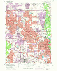 1962 Arlington Heights1973 Print · USGSNorthwest Cook County undergoes significant suburban transformation in the early seventies as new developments connect established towns. Genealogists and local historians can trace the growth of Arlington Heights and Des Plaines while locating landmarks like All Saints Cemetery or the Pal-Waukee Airport.
 - 1963 Map of Arlington Heights, 1964 Print
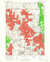 1963 Arlington Heights1964 Print · USGSThe Northwest Suburbs are captured here during a mid-century period of intense suburban growth. Genealogists and local historians can trace family plots at ALL SAINTS CEMETERY or locate old neighborhood landmarks like Randhurst Shopping Center and St Patrick Academy.2 unique versions available
 - 1963 Map of Elmhurst, 1964 Print
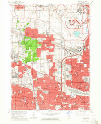 1963 Elmhurst1964 Print · USGSMid-century suburban expansion across Cook and DuPage Counties is frozen in time just as the jet age transformed the region. Genealogists and historians can trace family plots at Mt Emblem Cemetery and old landmarks like Churchville or the Mater Dolorosa Seminary.3 unique versions available
 - 1963 Map of River Forest, 1964 Print
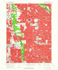 1963 River Forest1964 Print · USGSMid-century suburban expansion meets the Des Plaines riverfront in this 1960s view of western Cook County. Researchers can trace family history through numerous landmarks like St Joseph Cemetery, Maywood Park Racetrack, and the Chicago State Hospital.4 unique versions available
 - 1980 Map of Chicago
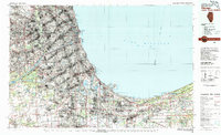 1980 Chicago1980 Print · USGSThe Chicago metropolitan area and the industrial shores of Northwest Indiana are captured here at the start of the 1980s. Genealogists and local historians can trace the vast urban landscape through landmarks like Loyola University, St Casimir Cemetery, and the busy docks of Calumet Harbor.
 - 1980 Map of Waukegan
 1980 Waukegan1980 Print · USGSThe Illinois North Shore and Lake Michigan coastline appear at a point of high development in the early eighties. Trace the expansive grounds of the Great Lakes Naval Training Center, Fort Sheridan, and historic Northwestern University.
 - 1993 Map of Elmhurst
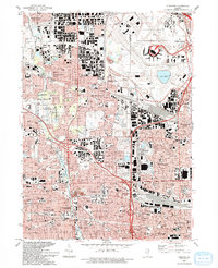 1993 Elmhurst1993 Print · USGSSuburban Chicago thrives in the early nineties, showing the massive footprint of O'Hare International Airport alongside growing residential tracts. Genealogists and historians can trace local landmarks like Elmhurst College, Arlington Cemetery, and York High School.
 - 1993 Map of River Forest
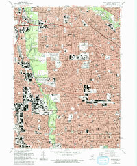 1993 River Forest1993 Print · USGSThe western suburbs of Chicago and the Des Plaines River valley are shown in great detail during the early nineties. Genealogists can locate family sites at St Joseph Cemetery or Waldheim Cemetery and trace schools like St Vincent Ferrer School.2 unique versions available
 - 1993 Map of Arlington Heights, 1994 Print
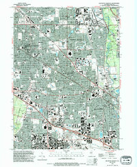 1993 Arlington Heights1994 Print · USGSArlington Heights and the surrounding Cook County suburbs are captured in the early nineties during a period of dense residential and commercial expansion. Genealogists and local historians can trace legacy landmarks like All Saints Cemetery, the Holy Family Convent, and Roosevelt University.
 - 1995 Map of Arlington Heights, 1999 Print
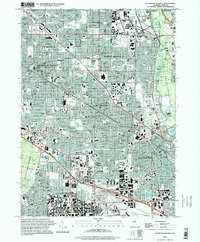 1995 Arlington Heights1999 Print · USGSThe Cook County suburbs of Arlington Heights and Des Plaines are shown in the mid-1990s as they transitioned into a major transit and institutional corridor. Genealogists can locate family names at All Saints Cemetery or trace historical school districts like Thomas Middle Sch and Maine West High Sch.
Showing maps 1-25 of 42
Top cities near Rosemont
- Chicago historical maps
- Naperville historical maps
- Cicero historical maps
- Schaumburg historical maps
- Arlington Heights historical maps
- Evanston historical maps
See more
Frequently asked questions
- What are the different types of historical maps available for Rosemont?
- What is the oldest map of Rosemont?
- Where can I purchase historical maps of Rosemont for my home or office?
- Where can I download high-res historical maps of Rosemont?
- Are there historical topographic maps available for Rosemont?
- Is there historical aerial imagery available for Rosemont?
- Where are historical maps of Rosemont sourced from?