2000s (21st Century) Maps of Thornton Township, Illinois
Explore 21 historic maps of Thornton Township from the 2000s (21st Century). These maps offer a rare glimpse into what life looked like during the 2000s — showing old roads, neighborhoods, homes, and landmarks that have changed or disappeared over time.
Whether you're researching your family's past, planning a metal detecting trip, or studying how Thornton Township's landscape evolved across the 2000s, these high-resolution maps are a powerful tool for exploring the history of this region.
- Focus on a specific era: All maps on this page are from the 2000s, giving you a focused view of this time period.
- See what’s changed: Compare century-old streets, trails, and buildings to today's modern landscape using overlays and satellite layers.
- Research with precision: Use these maps for genealogy, historical research, land use analysis, or educational projects.
- View, download, or print: Maps are fully viewable online in high resolution, and can be downloaded or printed for your own records.
Start exploring Thornton Township's history through authentic maps from the 2000s. This is your window into the past.
Thornton Township, IL maps
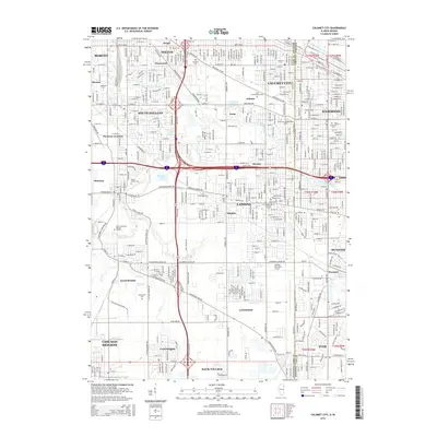
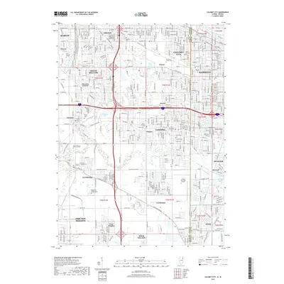
(21)- 2010 Map of Calumet City, 2010 Print
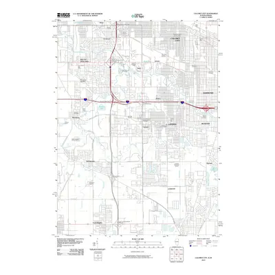 2010 Calumet City2010 Print · USGSCovers Thornton Township, including Hammond, Calumet City, and other nearby areas
 - 2012 Map of Harvey, 2012 Print
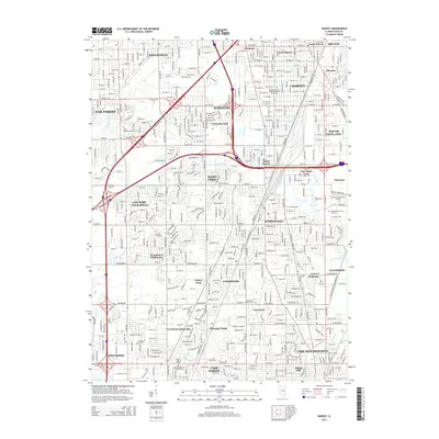
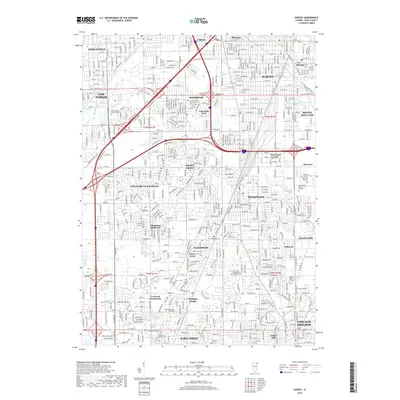
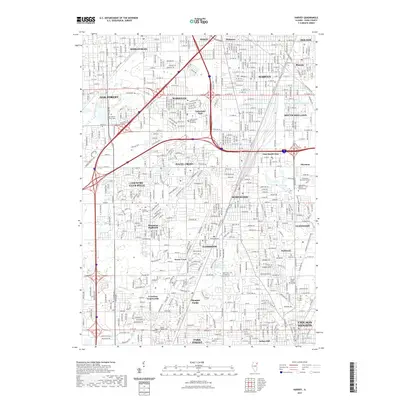
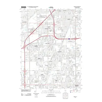 2012 Harvey2012 Print · USGSCovers Thornton Township, including Chicago Heights, Oak Forest, and other nearby areas
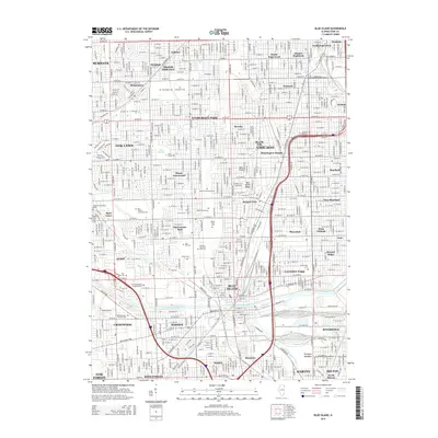
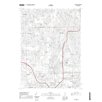
 - 2012 Map of Blue Island, 2012 Print
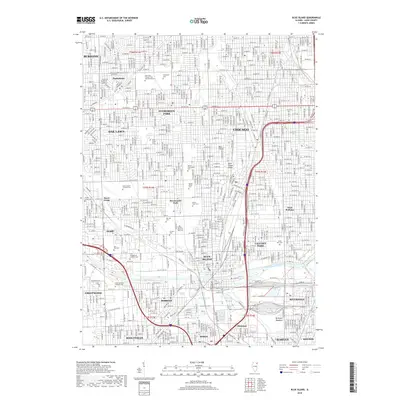
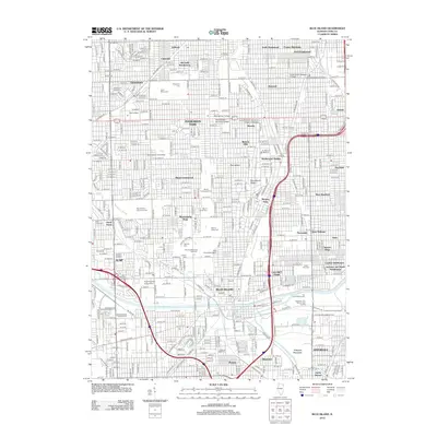 2012 Blue Island2012 Print · USGSCovers Thornton Township, including Chicago, Oak Lawn, and other nearby areas
 - 2012 Map of Calumet City, 2012 Print
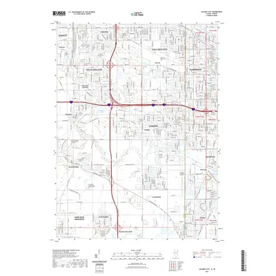
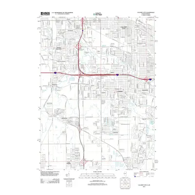 2012 Calumet City2012 Print · USGSCovers Thornton Township, including Hammond, Calumet City, and other nearby areas
 - 2012 Map of Lake Calumet, 2012 Print
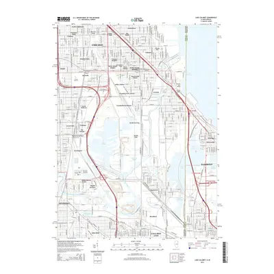
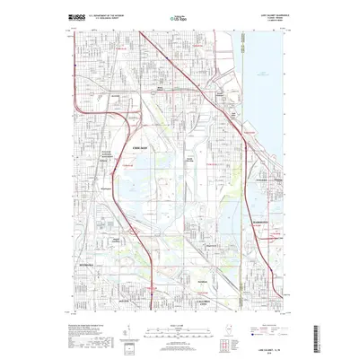
 2012 Lake Calumet2012 Print · USGSCovers Thornton Township, including Chicago, Hammond, and other nearby areas
 - 2015 Map of Calumet City, 2015 Print
 2015 Calumet City2015 Print · USGSCovers Thornton Township, including Hammond, Calumet City, and other nearby areas
 - 2015 Map of Blue Island, 2015 Print
 2015 Blue Island2015 Print · USGSCovers Thornton Township, including Chicago, Oak Lawn, and other nearby areas
 - 2015 Map of Harvey, 2015 Print
 2015 Harvey2015 Print · USGSCovers Thornton Township, including Chicago Heights, Oak Forest, and other nearby areas
 - 2015 Map of Lake Calumet, 2015 Print
 2015 Lake Calumet2015 Print · USGSCovers Thornton Township, including Chicago, Hammond, and other nearby areas
 - 2018 Map of Calumet City, 2018 Print
 2018 Calumet City2018 Print · USGSCovers Thornton Township, including Hammond, Calumet City, and other nearby areas
 - 2018 Map of Harvey, 2018 Print
 2018 Harvey2018 Print · USGSCovers Thornton Township, including Chicago Heights, Oak Forest, and other nearby areas
 - 2018 Map of Blue Island, 2018 Print
 2018 Blue Island2018 Print · USGSCovers Thornton Township, including Chicago, Oak Lawn, and other nearby areas
 - 2018 Map of Lake Calumet, 2018 Print
 2018 Lake Calumet2018 Print · USGSCovers Thornton Township, including Chicago, Hammond, and other nearby areas
 - 2021 Map of Blue Island, 2021 Print
 2021 Blue Island2021 Print · USGSCovers Thornton Township, including Chicago, Oak Lawn, and other nearby areas
 - 2021 Map of Lake Calumet, 2021 Print
 2021 Lake Calumet2021 Print · USGSCovers Thornton Township, including Chicago, Hammond, and other nearby areas
 - 2021 Map of Calumet City, 2021 Print
 2021 Calumet City2021 Print · USGSCovers Thornton Township, including Hammond, Calumet City, and other nearby areas
 - 2021 Map of Harvey, 2021 Print
 2021 Harvey2021 Print · USGSCovers Thornton Township, including Chicago Heights, Oak Forest, and other nearby areas
 - 2024 Map of Lake Calumet, 2024 Print
 2024 Lake Calumet2024 Print · USGSThe industrial heart of the Illinois-Indiana borderlands is revealed in this modern survey of the Calumet region. Researchers can trace the layout of historic labor sites like Pullman National Monument and neighborhoods like Hegewisch and Altgeld Gardens.
 - 2024 Map of Calumet City, 2024 Print
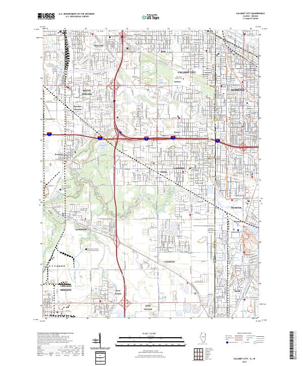 2024 Calumet City2024 Print · USGSThe Illinois-Indiana borderlands come into focus in this contemporary survey of the Calumet region’s dense urban and industrial landscape. Genealogists can locate numerous burial grounds like Berger Cem or Concordia Cem while tracing the historic Erie-Lackawanna RR corridor.
 - 2024 Map of Blue Island, 2024 Print
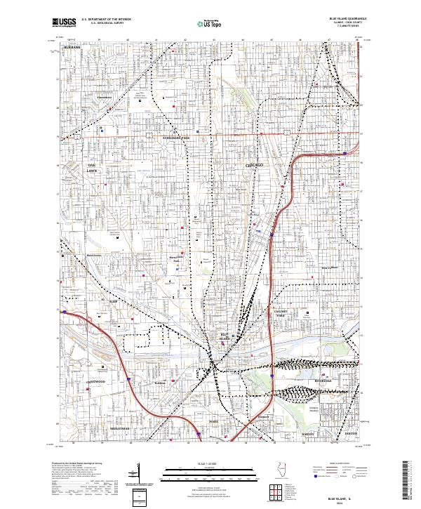 2024 Blue Island2024 Print · USGSSouthern Cook County suburbs and the Chicago border are captured in this modern survey. Genealogists can trace family records across Saint Casimir Catholic Cemetery or Mount Greenwood Cemetery, while collectors can map the path of the B & O CT RR and the Calumet Sag Channel.
 - 2024 Map of Harvey, 2024 Print
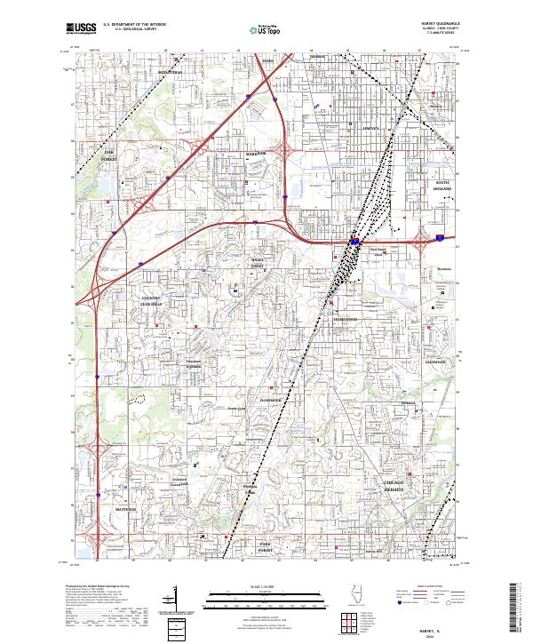 2024 Harvey2024 Print · USGSThe south Chicago suburbs come into sharp focus in this detailed survey of Cook County’s residential and civic landscape. Researchers can trace local heritage through numerous sites like Homewood Memorial Gardens, Coopers Grove Cem, and Prairie State College.
End of results
Showing maps 1-21 of 21
Top cities near Thornton Township
- Chicago historical maps
- Cicero historical maps
- Hammond historical maps
- Gary historical maps
- Oak Lawn historical maps
- Berwyn historical maps
See more
Top neighborhoods of Thornton Township
- Calumet City historical maps
- South Holland historical maps
- Dolton historical maps
- Harvey historical maps
- Burnham historical maps
- Dixmoor historical maps
See more
Frequently asked questions
- What are the different types of historical maps available for Thornton Township?
- What is the oldest map of Thornton Township?
- Where can I purchase historical maps of Thornton Township for my home or office?
- Where can I download high-res historical maps of Thornton Township?
- Are there historical topographic maps available for Thornton Township?
- Is there historical aerial imagery available for Thornton Township?
- Where are historical maps of Thornton Township sourced from?